Rivers have molded the landscape of the entire state, with each river basin different from the other.
As an ecologically diverse state, with landscapes varying from the higher elevation of the western Blue Ridge mountains to the low-lying coastline in the east, within each region, one will experience differing average temperatures, manage different growing seasons for plants and agriculture, and enjoy a wide range of water bodies from lakes to streams, and small to large river networks.
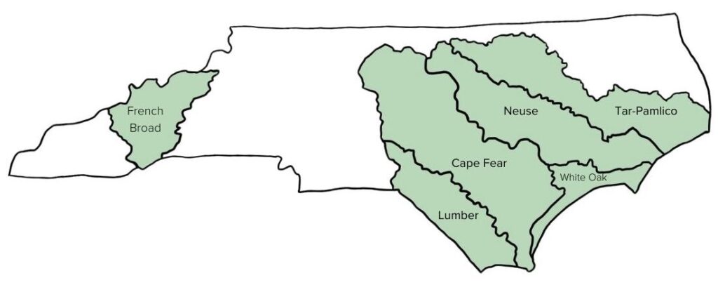
North Carolina is home to roughly 37,853 miles of rivers, plus thousands of tributaries or streams that flow into and feed one of its larger river systems. In total, there are 17 river basins in North Carolina. Because every community falls within one of these basins, every community in North Carolina is impacted by the vast destruction to livelihoods caused by flooding.
We must address flood resiliency from the perspective of a basin-wide approach when recommending conservation solutions to mitigate its effects.
Since each river basin is contrastingly unique, a one-size-fits-all approach is not applicable when designing strategies to mitigate flooding. The impacts look different by region, demonstrating why a basin-wide level approach is necessary to create manageable, coordinated intervention strategies to improve the flood risk for all communities in North Carolina.
Understanding River Basins
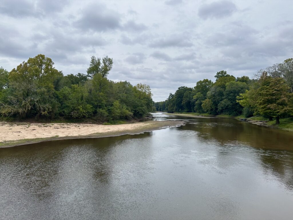
A river basin encompasses the area of land drained by a river and its tributaries. Each basin serves as a natural watershed, starting with the rainwater and flow of a central river system that shapes the landscape and ecosystems as the water moves through. River basins influence many concepts of the surrounding area, including local agriculture, urban planning and infrastructure, drinking water, wildlife habitat and diversity and the local economy. Each river basin in North Carolina has its own movement of water from the headwaters to an outfall into the ocean, an estuary, or another river.
With the 17 river basins in North Carolina, each holds a unique ecological and topographical footprint in response to rainfall events that occurred upstream. Starting with rainfall, water accumulates into a basin that flows into subsequent bodies of water through a stream, river, tributary, groundwater, etc. As water accumulates and moves downstream, the river basin acts as a bathtub, collecting all contents and diverting where necessary.
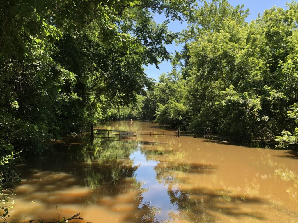
With more severe climate-change caused weather events, an influx of water to a river basin will cascade into surrounding areas, causing floods.
The North Carolina Flood Resiliency Blueprint will serve as an online decision-support tool for policymakers, stakeholders and all North Carolinians with the knowledge required to make flood management decisions. The initiative was launched by the NC General Assembly and NC Department of Environmental Quality in collaboration with local and state agencies from across the state. In this process, having stakeholders present from various river basins is crucial to creating a tool that serves all communities and residents of the state.
As a starting point for proposed flood mitigation action, the Blueprint process will develop basin-wide action strategies for six target river basins: French Broad, Tar-Pamlico, Cape Fear, Neuse, Lumber and White Oak River Basins.
Get to know these focus regions:
French-Broad
- Total miles of streams: 3,985
- Counties within basin: 8
- Size: 2,829 square miles
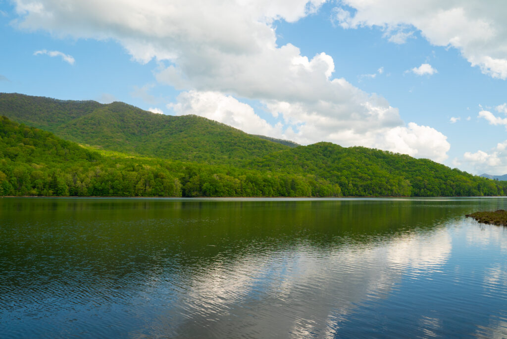
CTNC has a deep history of conserving land in Western NC including throughout the French Broad River Basin. CTNC’s Land Protection Director, Rusty Painter, has culminated relationships in communities across this basin through the years to ensure that protected land offers solutions to climate change impacts including flood-related challenges. The Asheville Watershed conservation easement was originally designed to provide a sustainable, clean drinking water source for the City of Asheville, but it also serves as a collection vessel for water flow, helping slow water before it reaches the French Broad river.
CTNC’s Western Conservation Manager, Aaron Flannery, highlights the importance of preserving land to enhance community resilience. “Protecting land in western North Carolina is crucial to the health of NC’s river basins that are fed from waters along the Parkway. Ensuring that the land along the Blue Ridge Parkway is preserved impacts everything that occurs downstream, including water quality, economic development, local and state parks, community resilience and the wildlife that calls the ecosystems of NC home.”
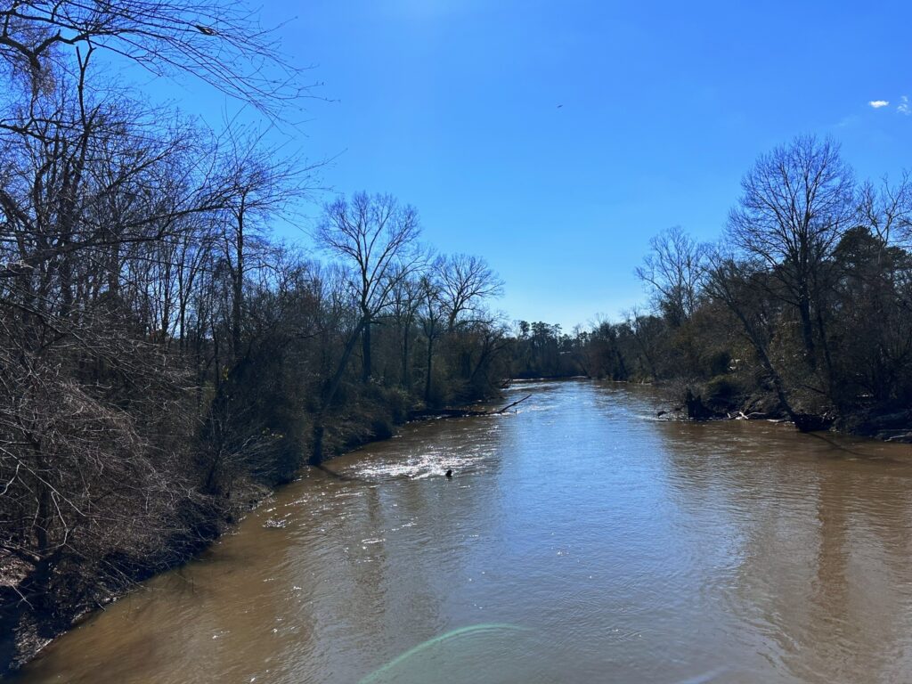
Tar-Pamlico
- Total miles of streams and rivers: 2,521
- Counties within basin: 18
- Size: 6,148 square miles
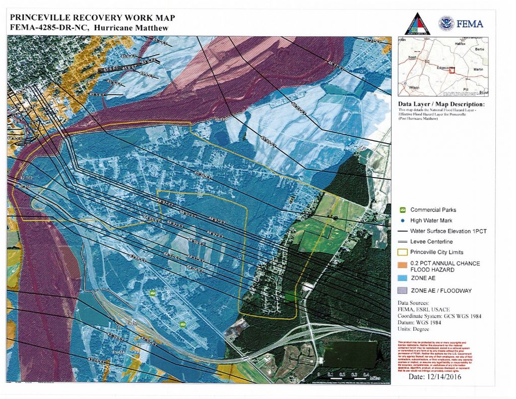
Princeville, NC is no stranger to the impacts of floods from the Tar River, a part of the Tar-Pamlico River Basin. CTNC’s partnership with the Town of Princeville and NC State’s Coastal Dynamics Design Lab inspired the development of CTNC’s Community Resilience Model. This map uses GIS technology to help identify communities at greatest risk to flooding where conservation solutions can provide a community benefit. The NC Flood Resiliency Blueprint will allow the integral flood mitigation work that occurred in Princeville to be utilized at a greater level – within entire river basins.
Neuse
- Total miles of streams and rivers: 3,409
- Counties within basin: 18
- Size: 6,062 square miles
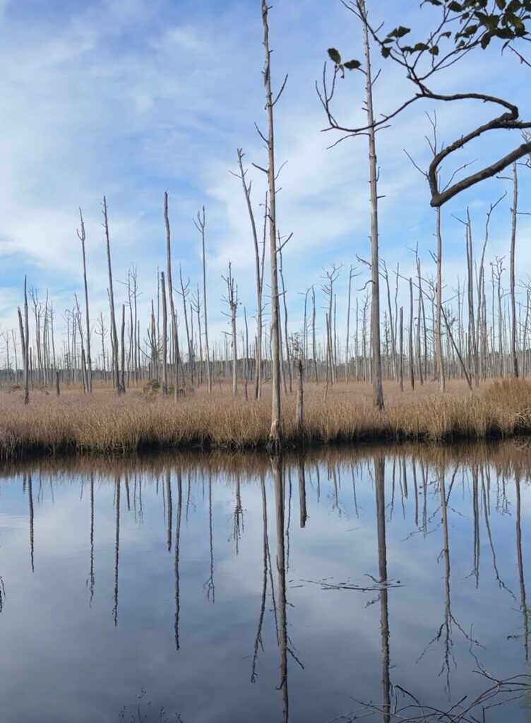
Serving as the third largest river basin in North Carolina, protecting the land along the Neuse River Basin is critically important to the cities within the basin by providing drinking water in nine dedicated reservoirs – Falls Lake, Lake Michie, Little River Reservoir, Lake Holt, Lake Orange, New Hillsborough Lake, Corporation Lake, Lake Ben Johnson and Lake Rogers. The basin also holds wetland forests that divert water from flooding nearby communities and captures runoff and rainfall to prevent impacts to downstream communities. For 12 years, CTNC partnered with the City of Raleigh to administer a watershed protection program, The Upper Neuse Clean Water Initiative, designed to raise funds to help land trusts protect land upstream of a rapidly growing region and critically important source of drinking water for the Triangle region.
Cape Fear
- Total miles of streams and rivers: 6,584
- Counties within basin: 26
- Size: 9,164 square miles
Lumber
- Total miles of streams and rivers: 2,247
- Counties within basin: 9
- Size: 3,329 square miles
White Oak
- Total miles of streams and rivers: 320
- Counties within basin: 6
- Size: 1,382 square miles
Community Expectations
Protecting these bodies of water is crucial to the flow of water from the mountains to the sea. With the tool created in the Flood Resiliency Blueprint, members of each river basin’s communities can expect to gain a deeper understanding of their floodplain, the history of flooding in that region and the best strategies to combat the impacts of flooding specific to that area.
Collaboration from all regions of the state is important to ensure that all communities are represented and heard when creating tools like the Flood Resiliency Blueprint. The decisions made upstream in the Western part of the state will impact communities downstream throughout NC. To address the increasing threat of climate-change caused events, like flooding, community and county boundaries will be crossed to foster collaboration in creating effective solutions. CTNC’s relationships with local government organizations, statewide conservation partners and landowners will be prioritized to ensure a holistic approach to flood mitigation strategies occurs in communities across every river basin in North Carolina.