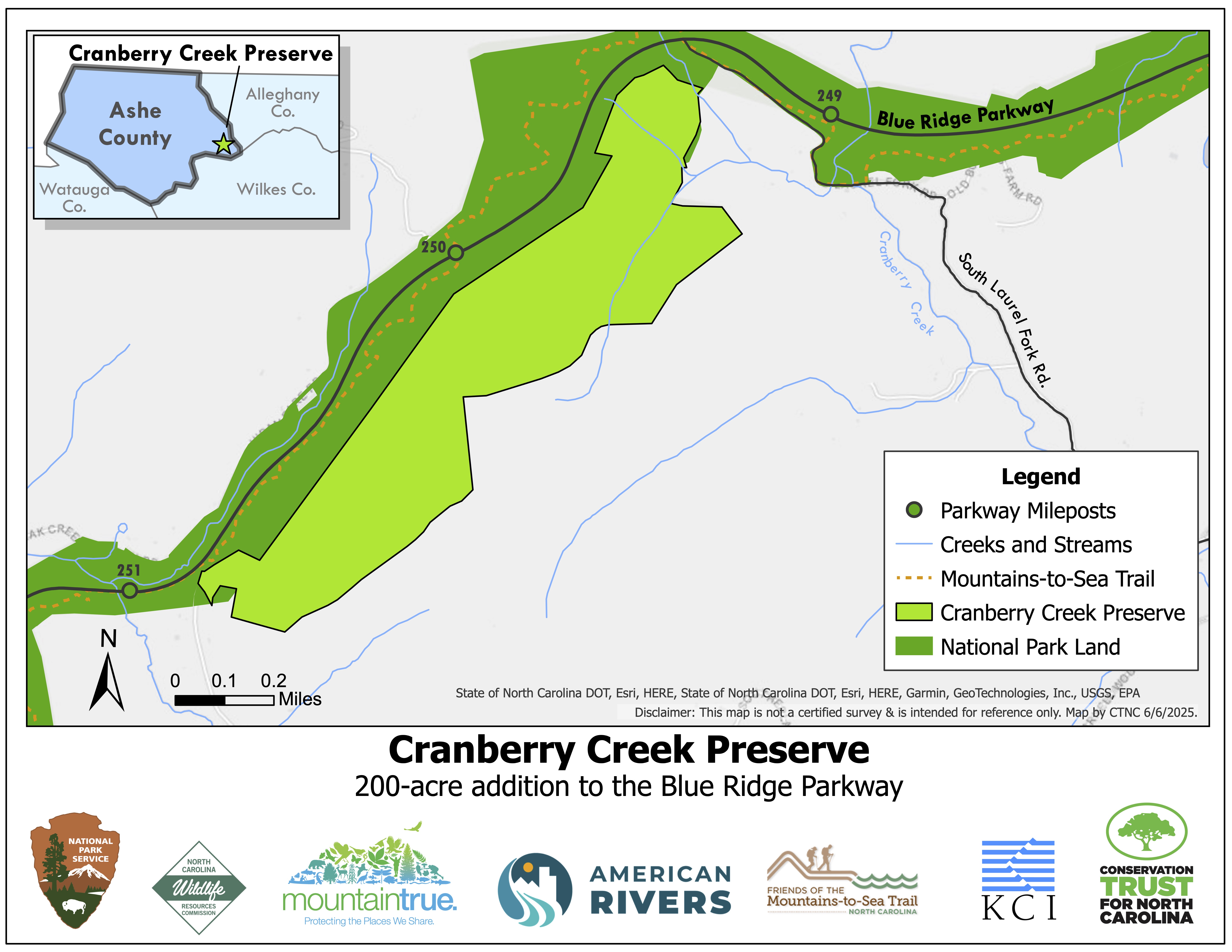
Expanding protections to water quality, wildlife habitat, and recreational opportunities
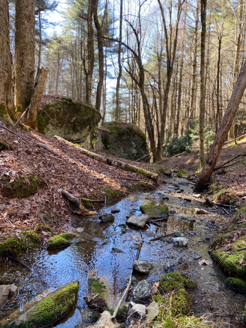
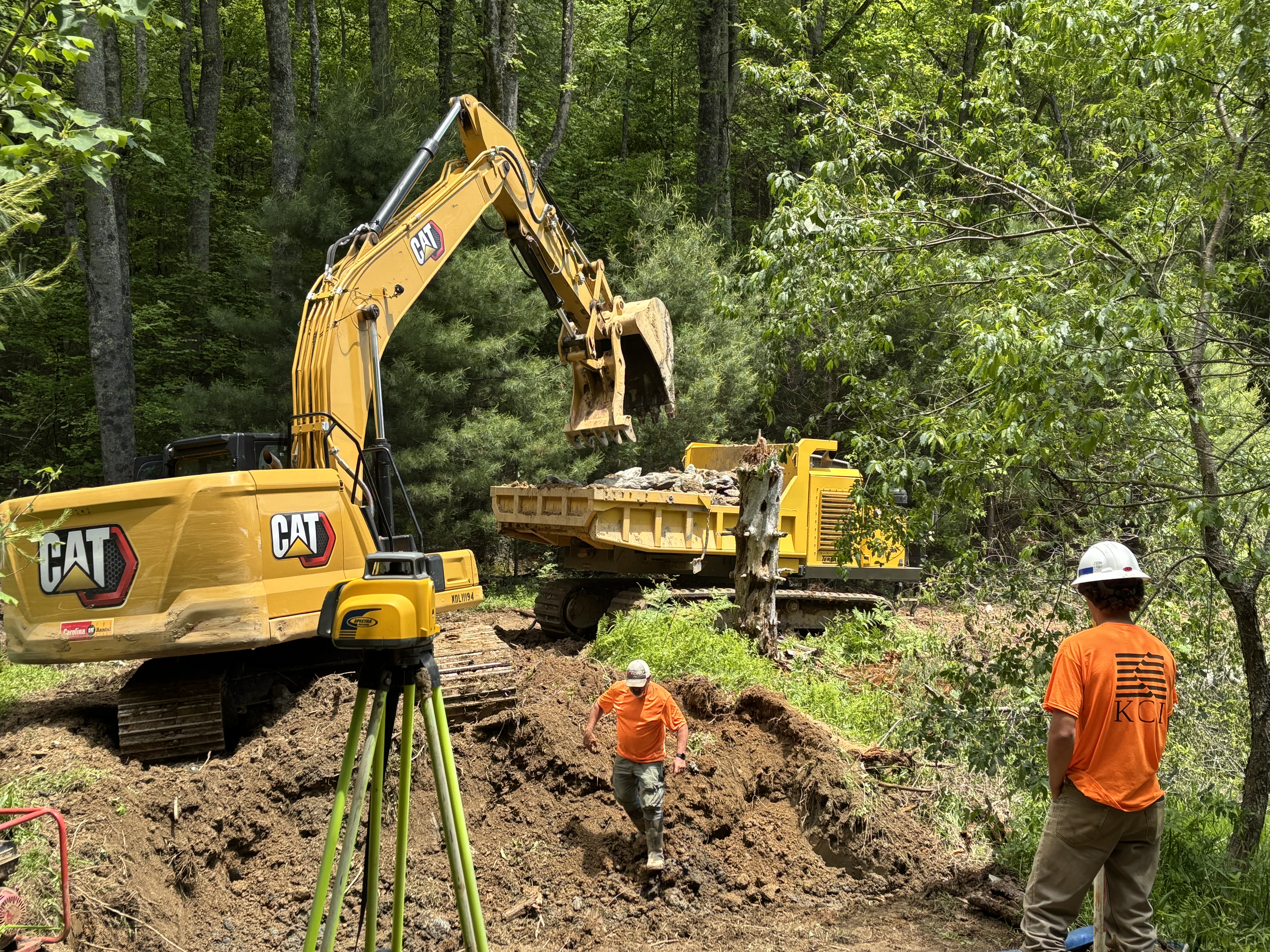
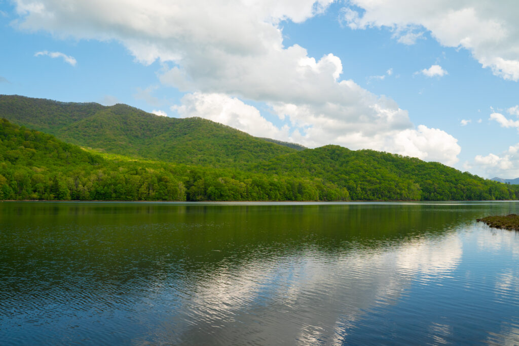
CTNC has secured permanent protection of 393 acres of forestland and headwater streams along the Blue Ridge Parkway with support from the North Carolina Land and Water Fund, Fred and Alice Stanback, and other generous donors.
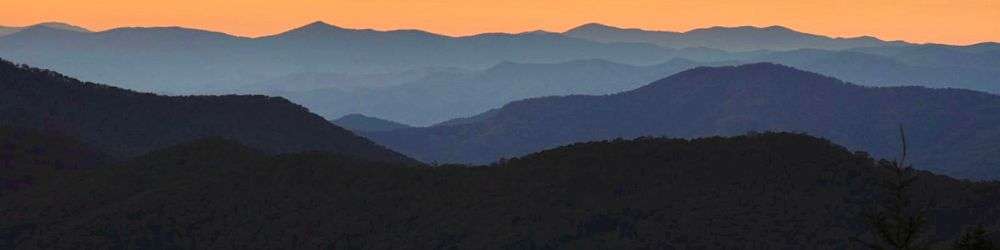
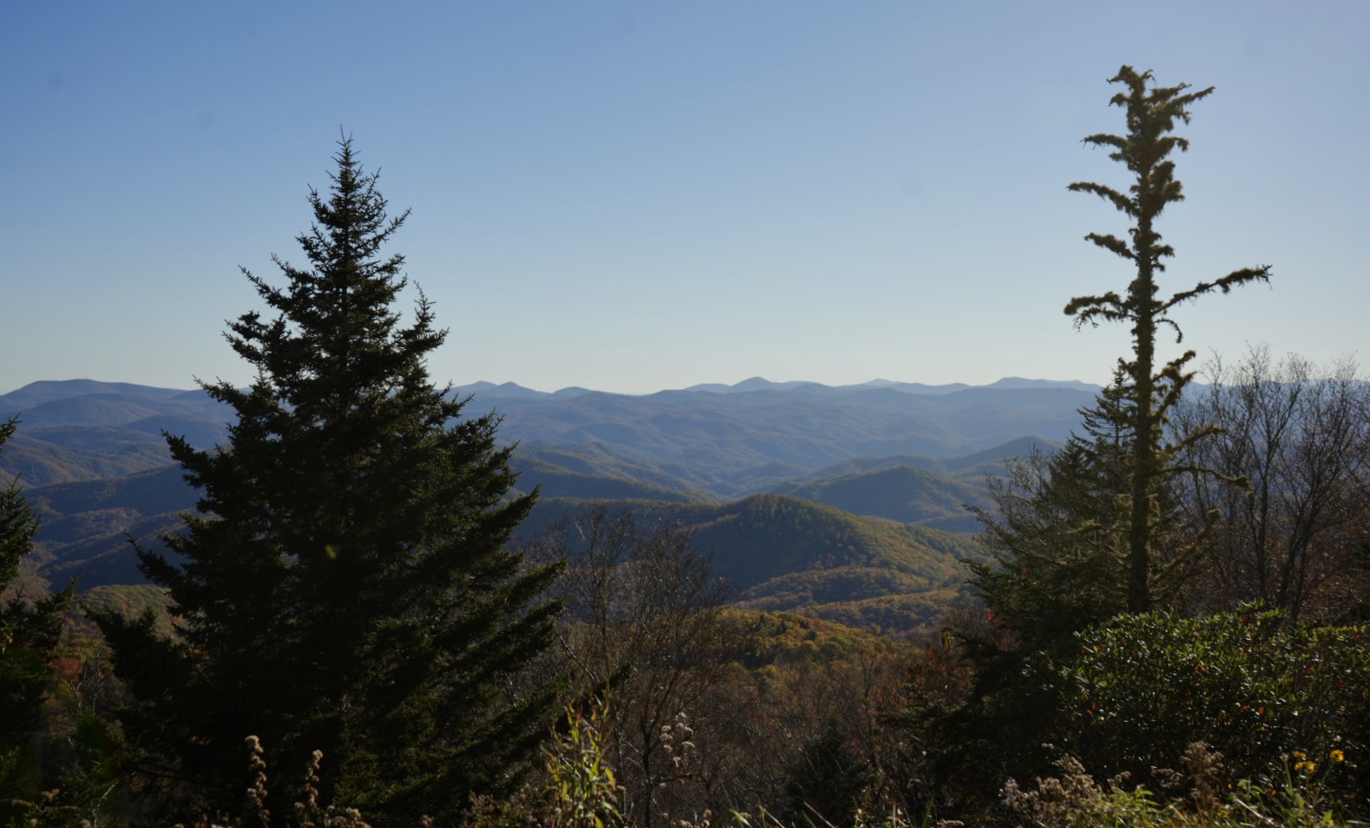
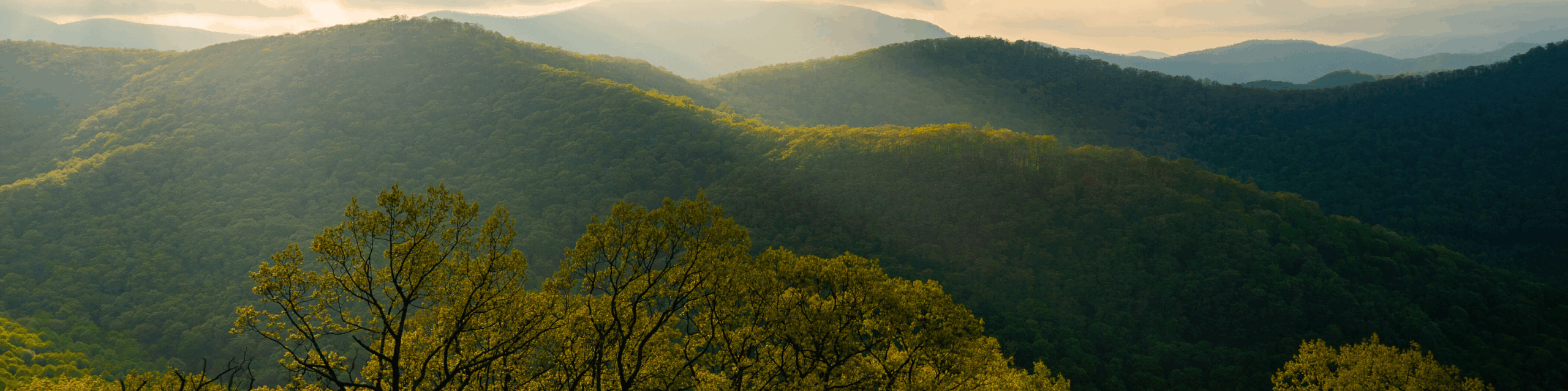
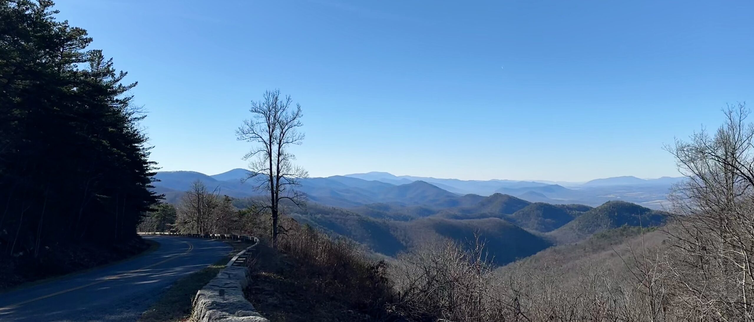
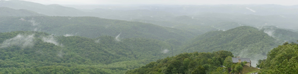
This achievement safeguards one of the most visible and ecologically significant landscapes surrounding E.B. Jeffress Park, ensuring its beauty and natural integrity will endure for future generations to come.
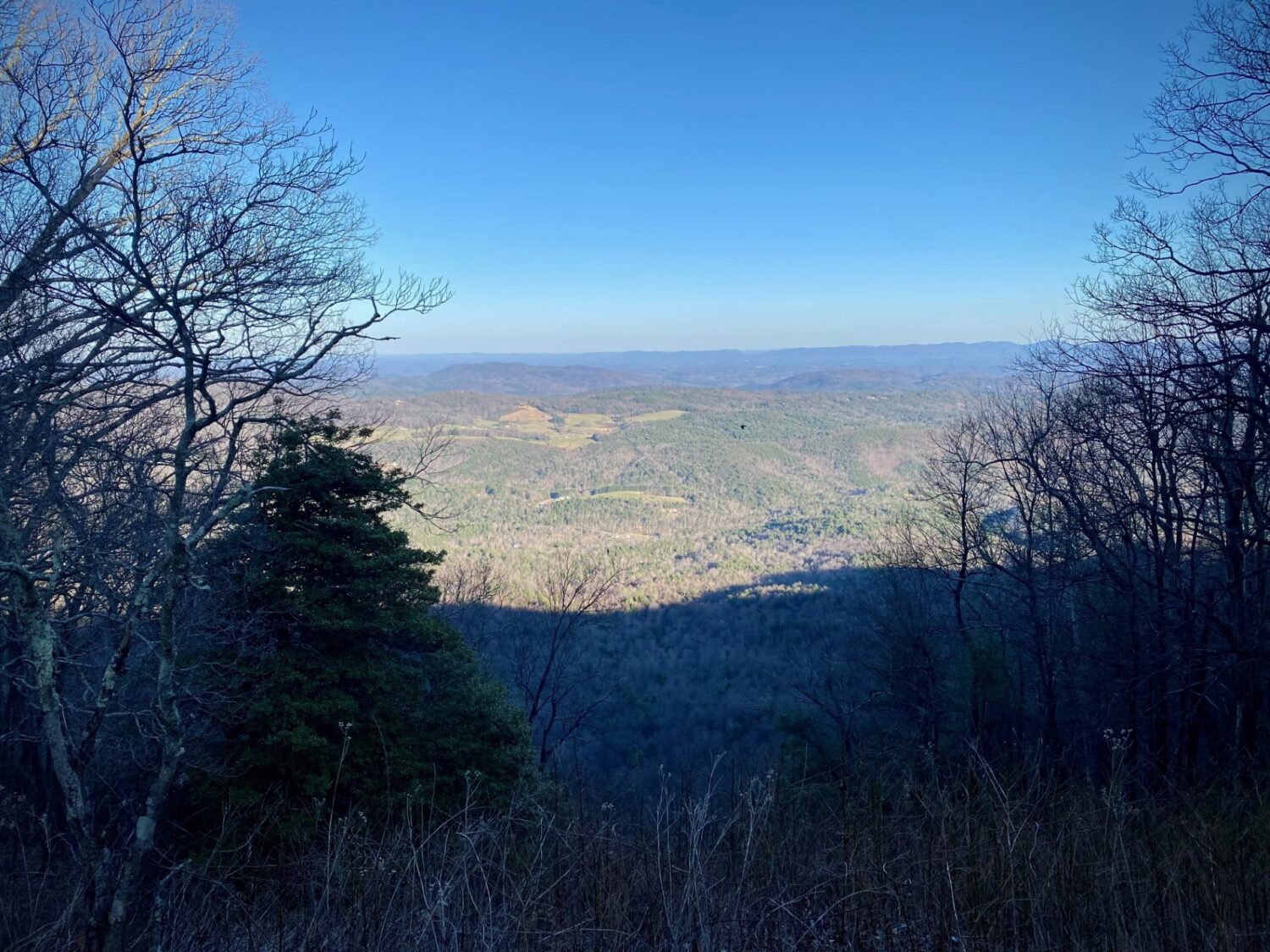
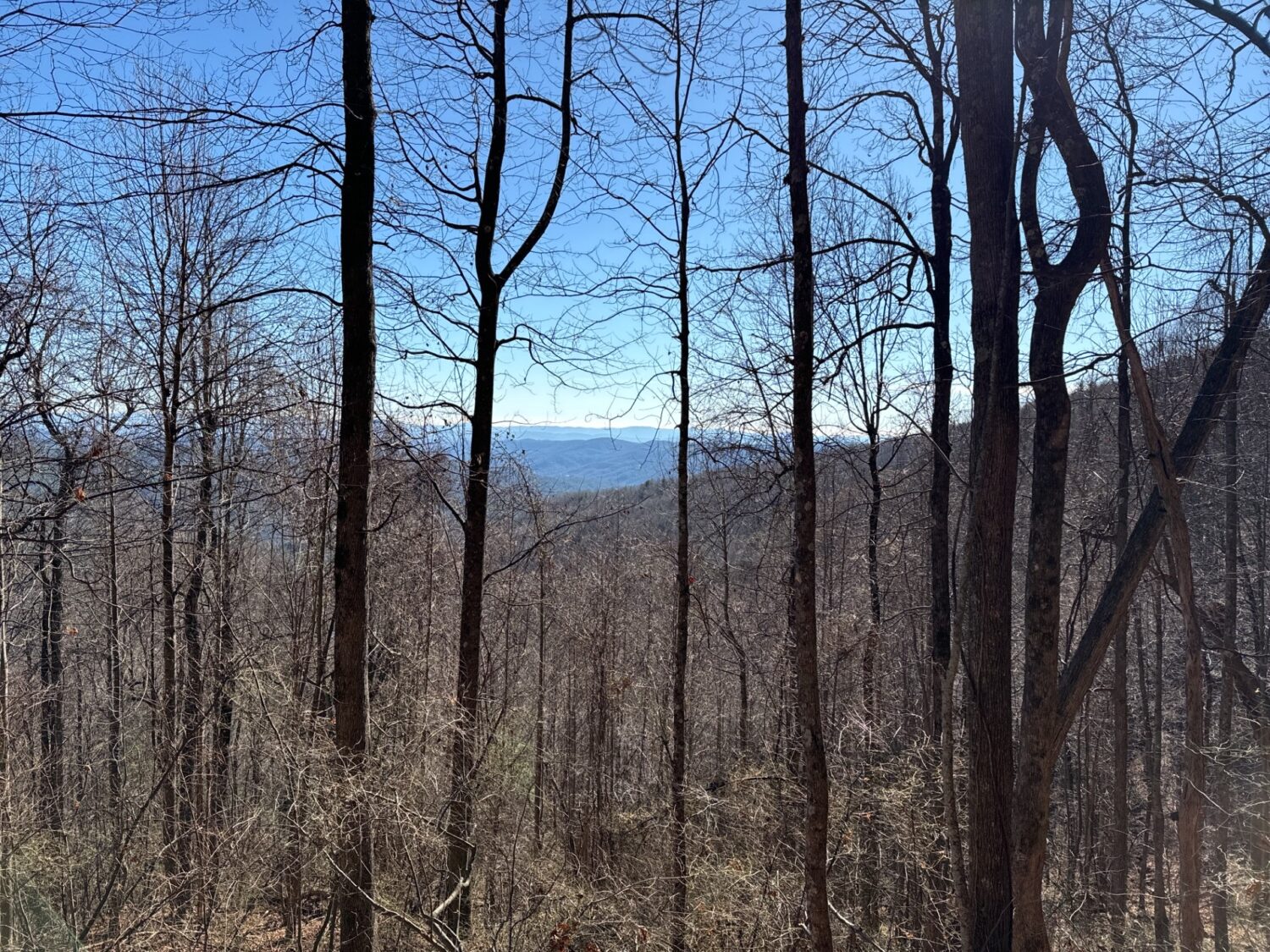
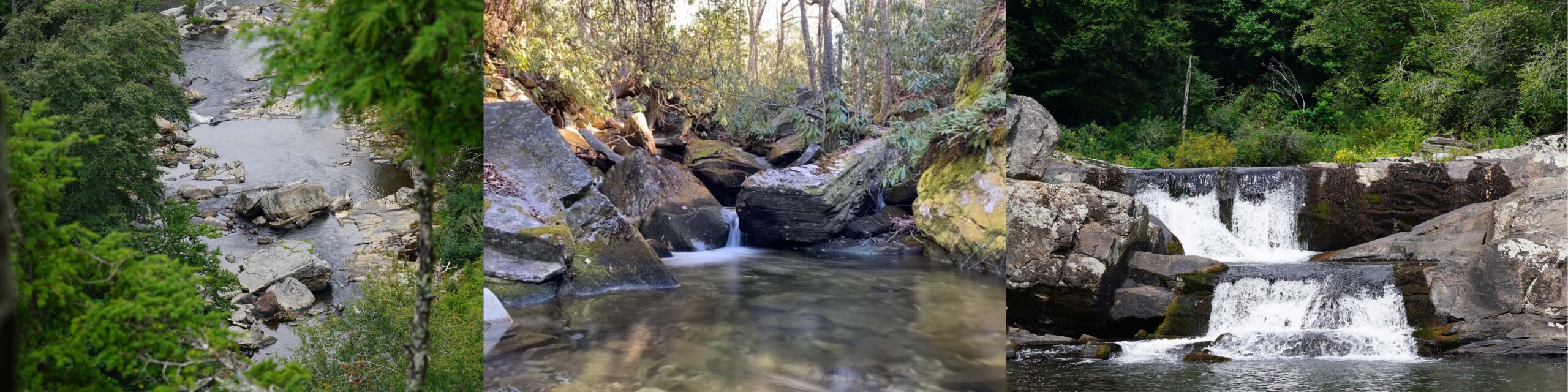
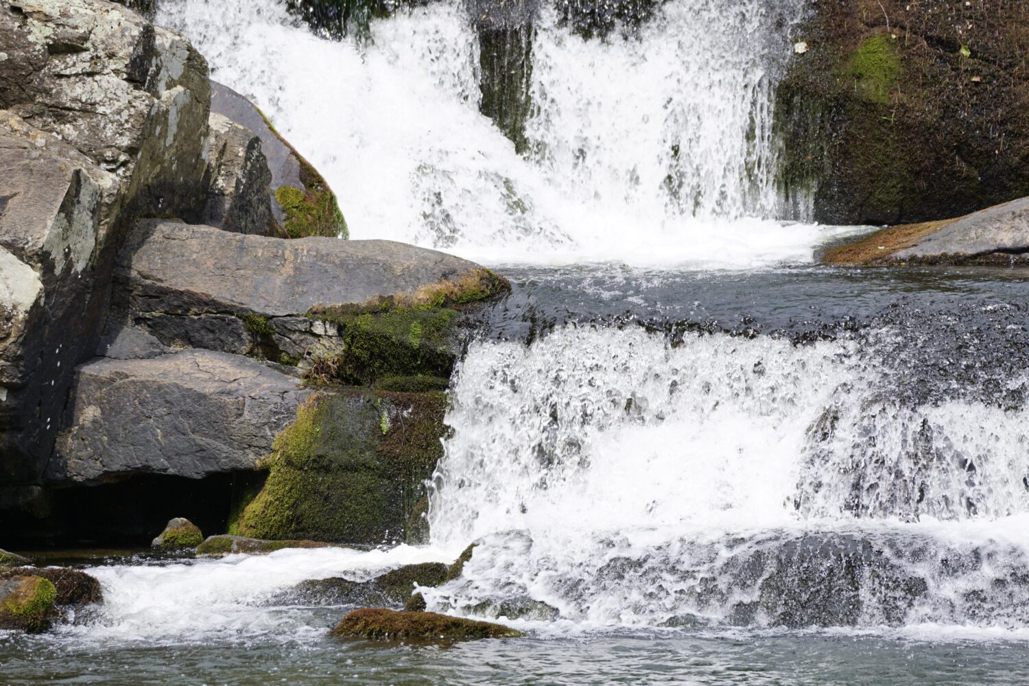
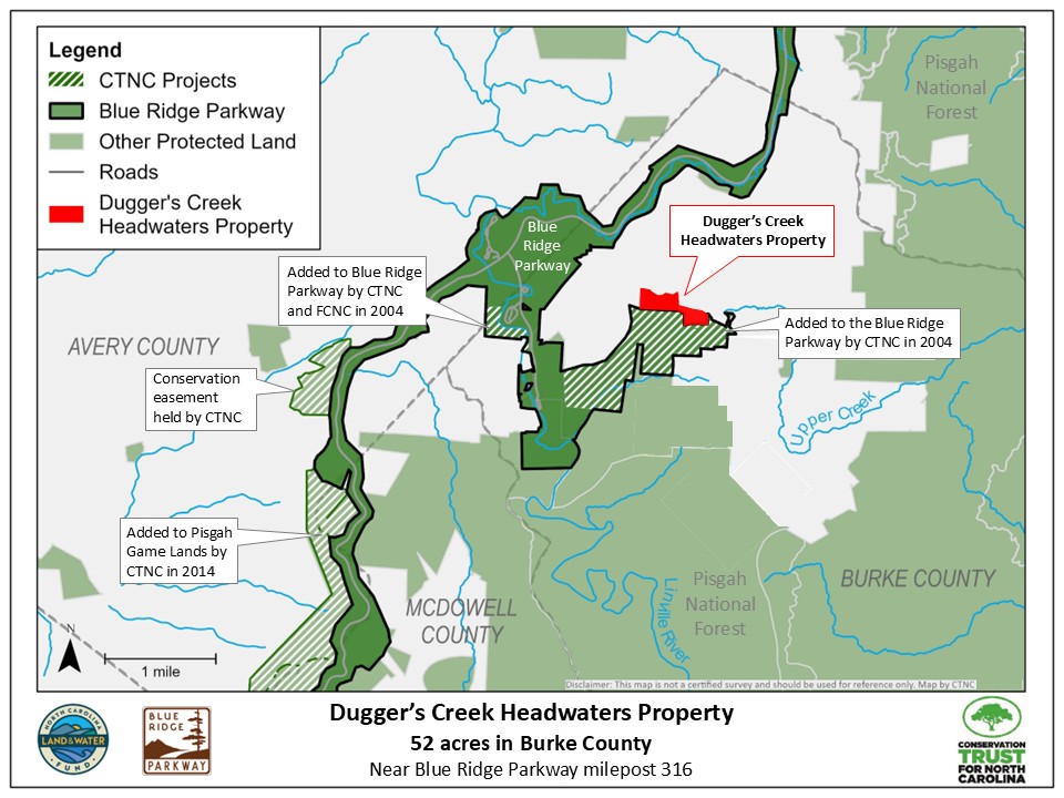
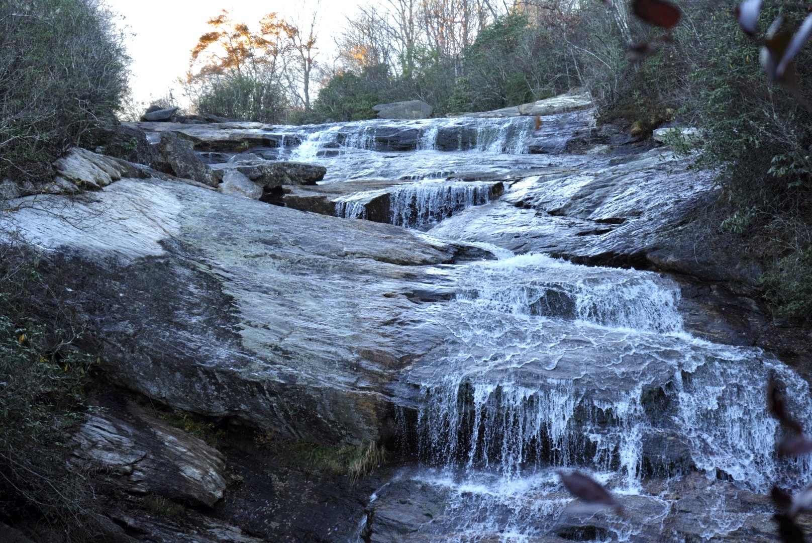
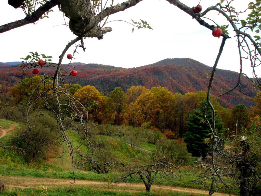
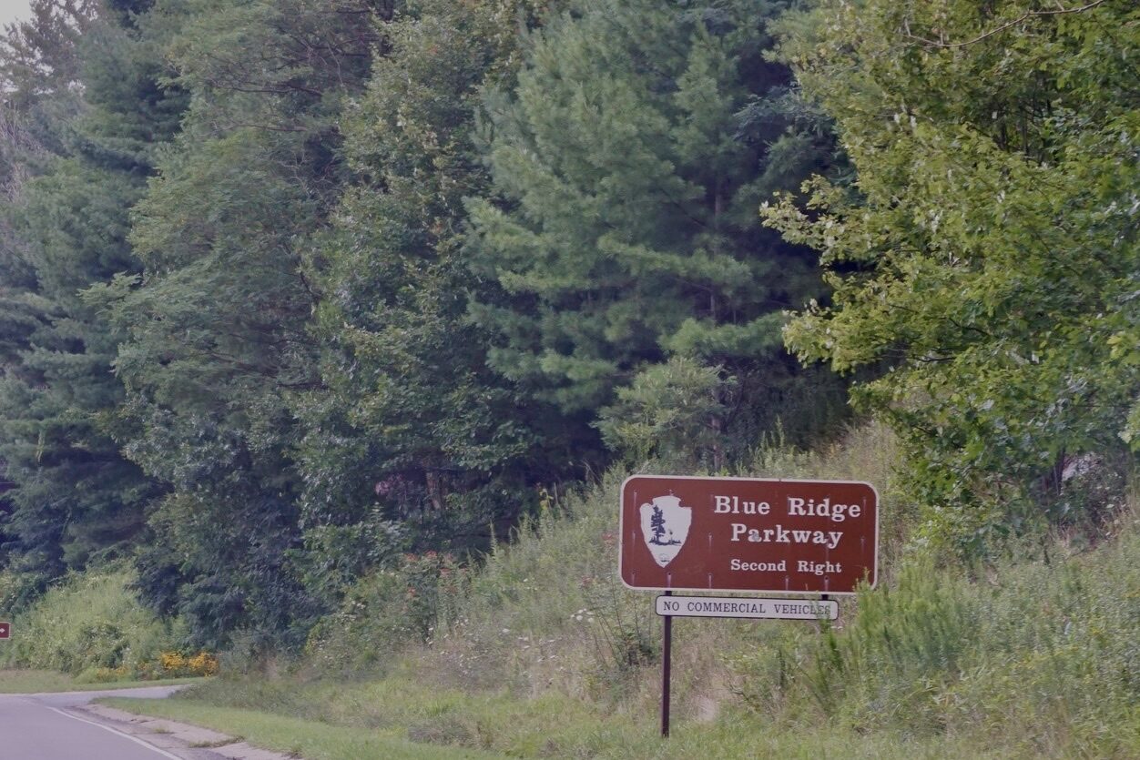
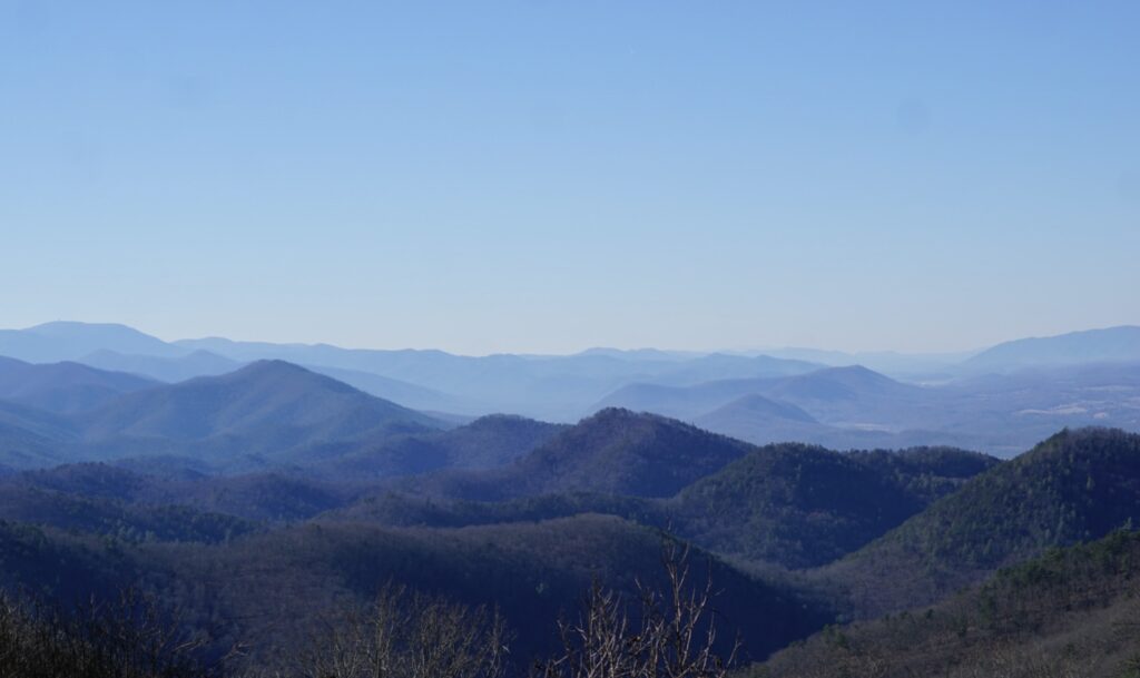
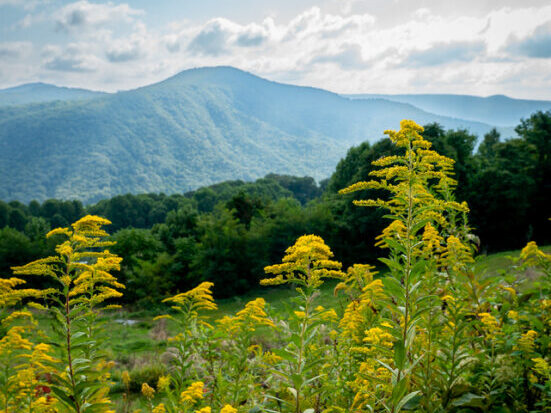
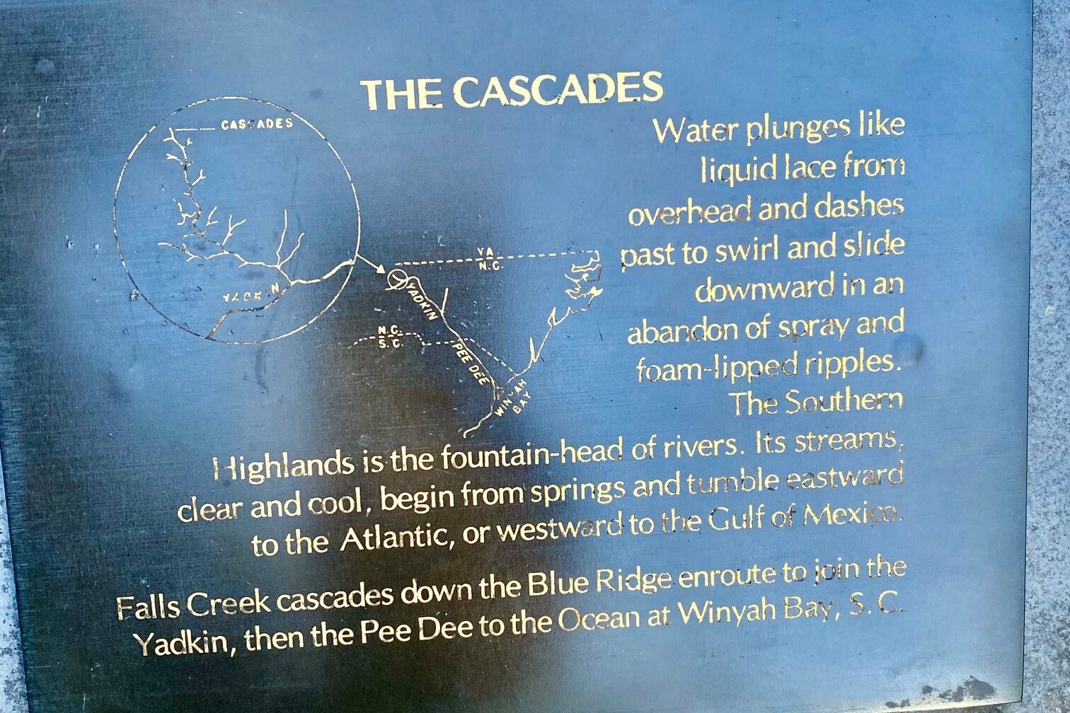
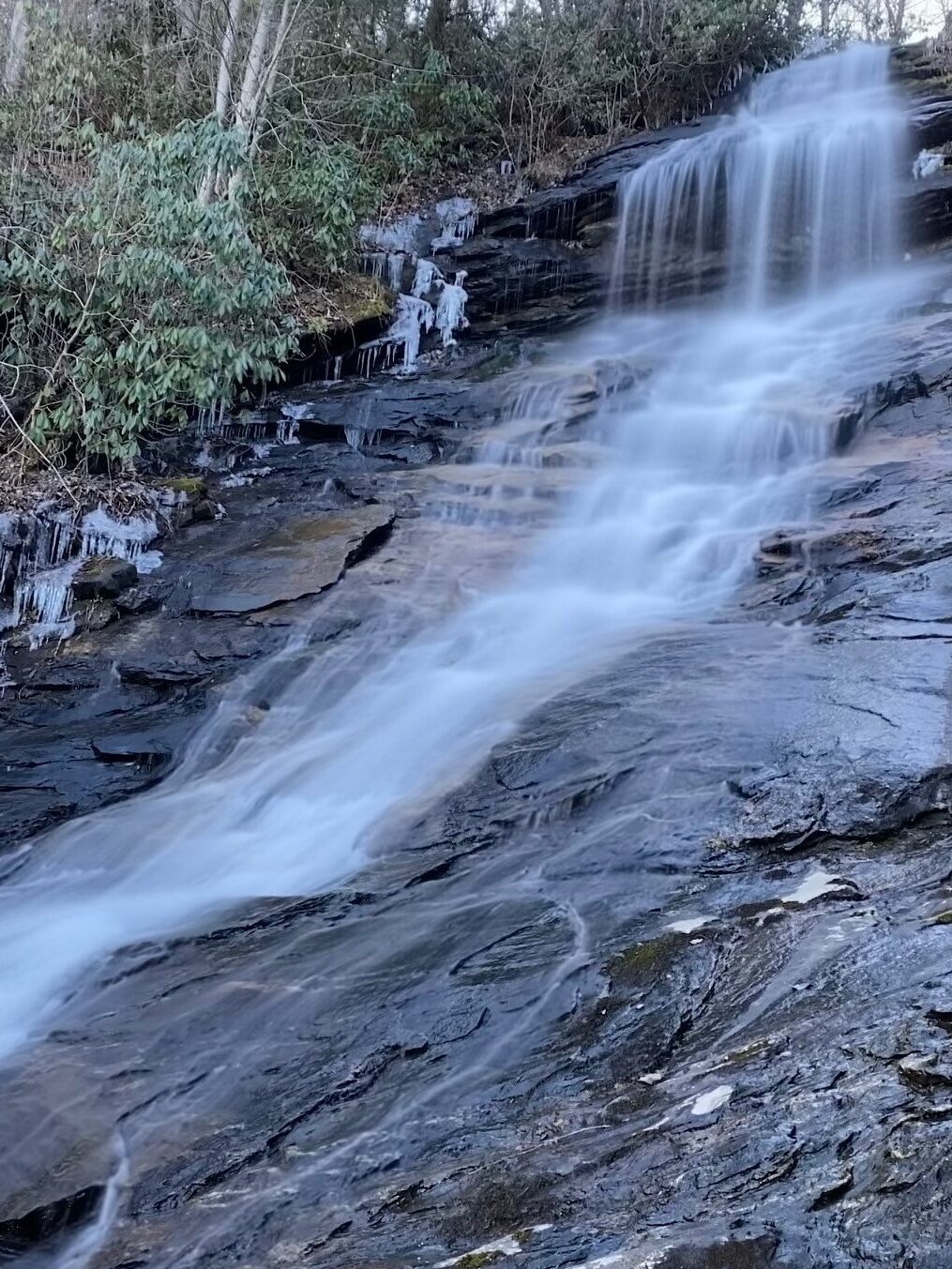
The protected land lies directly below the Cascades Parking Overlook at milepost 272, a popular destination known for its sweeping mountain views, access to the scenic Cascades Trail waterfall hike, and a family-friendly picnic area. At its closest point, the land sits only 120 feet below the overlook, but sprawls out more than a mile down the Blue Ridge Escarpment to shape both the immediate and long-distance views that millions who travel the Parkway enjoy. Its planned transfer to the National Park Service will guarantee that these scenic vistas will continue to remain pristine and free from development.

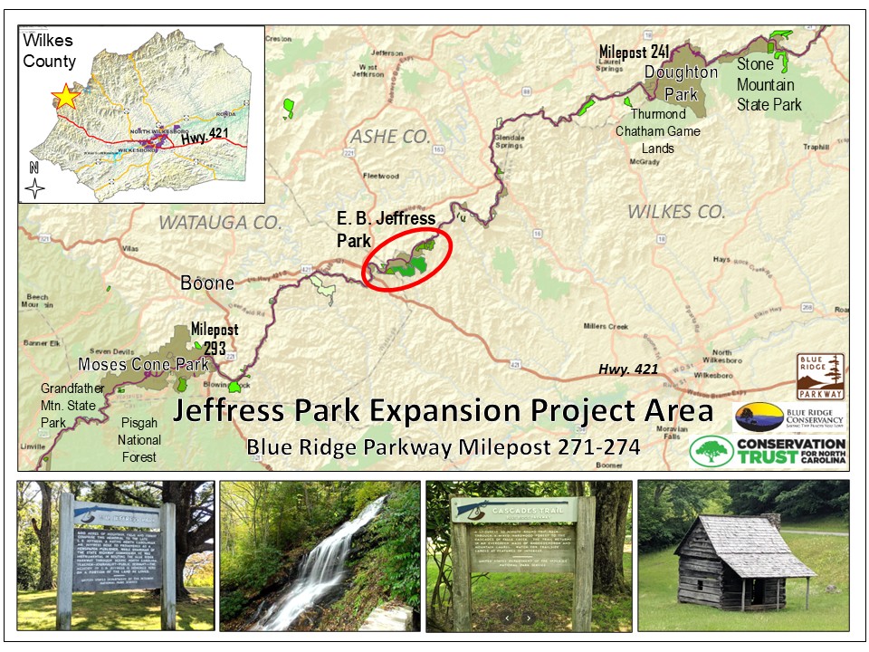
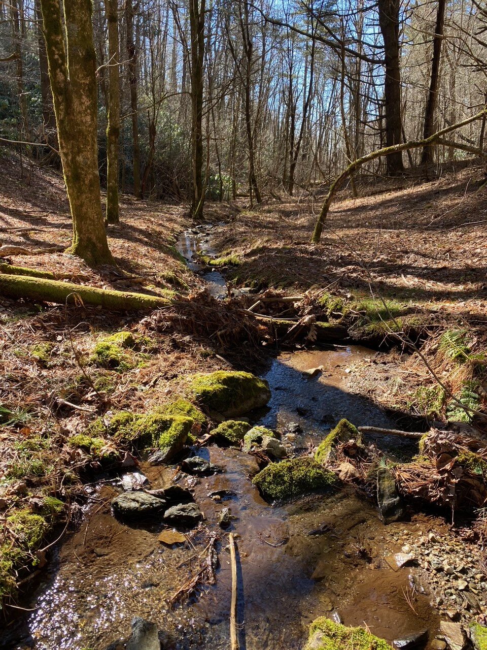
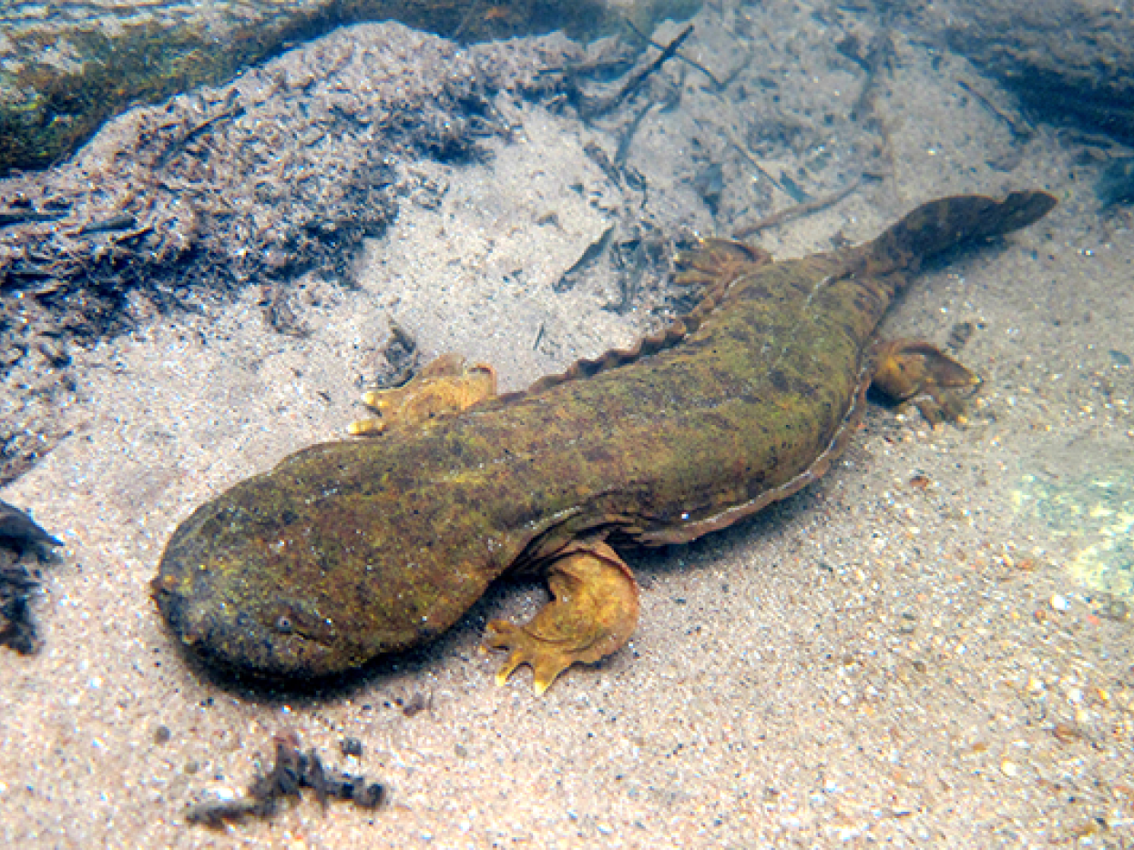
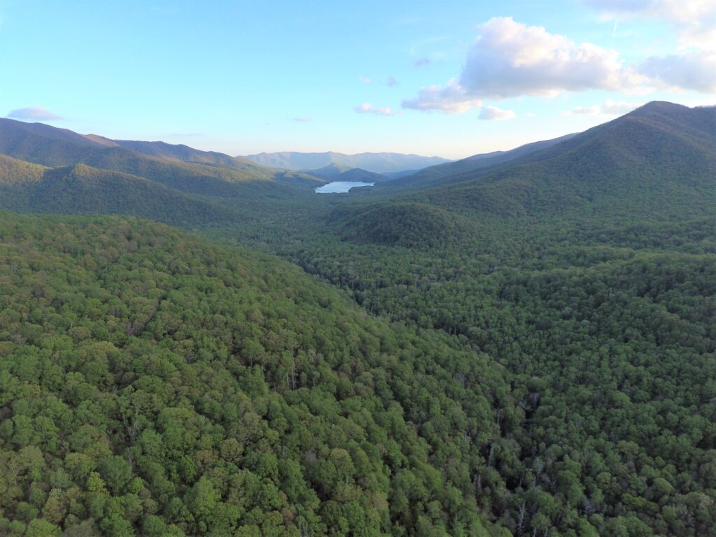
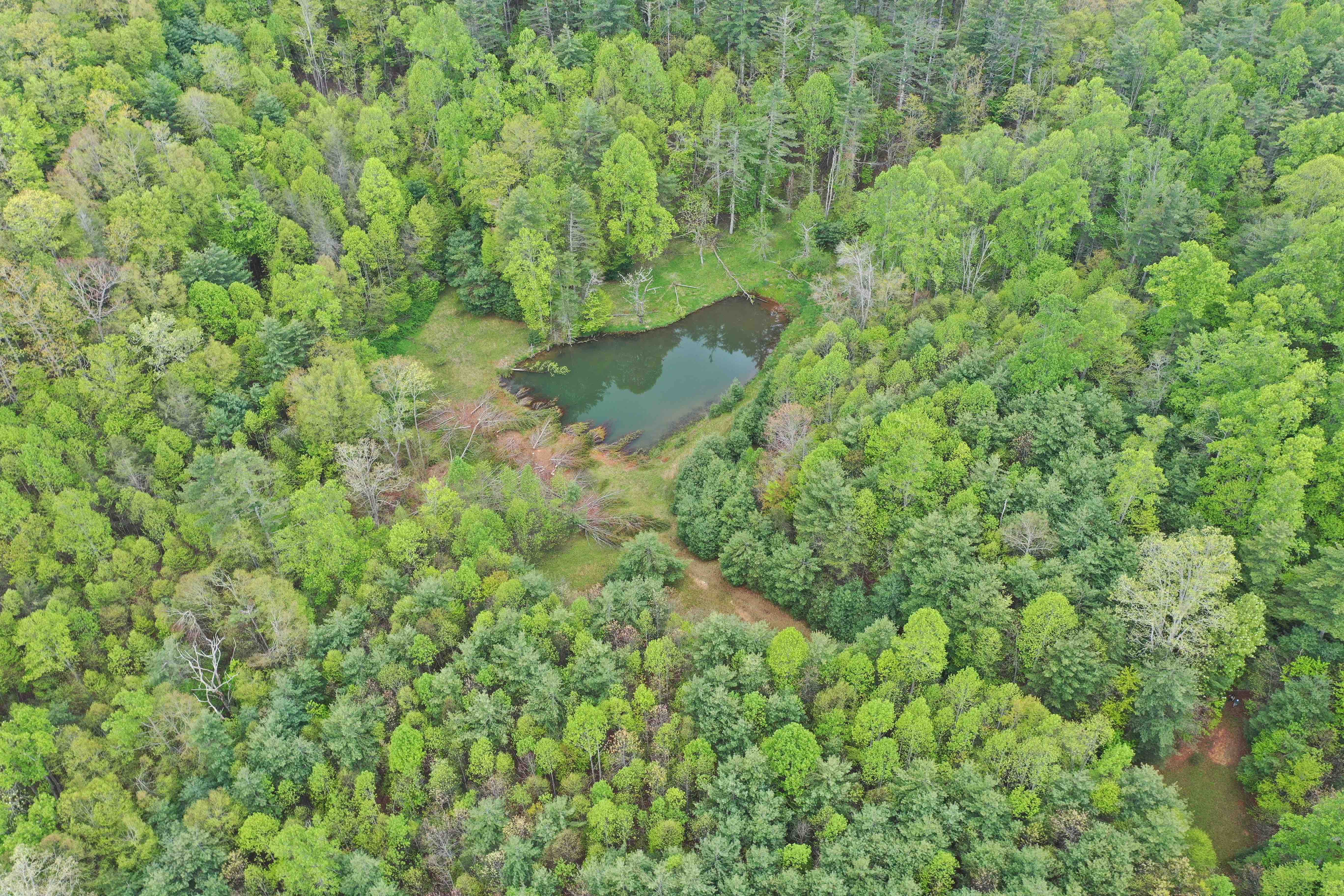
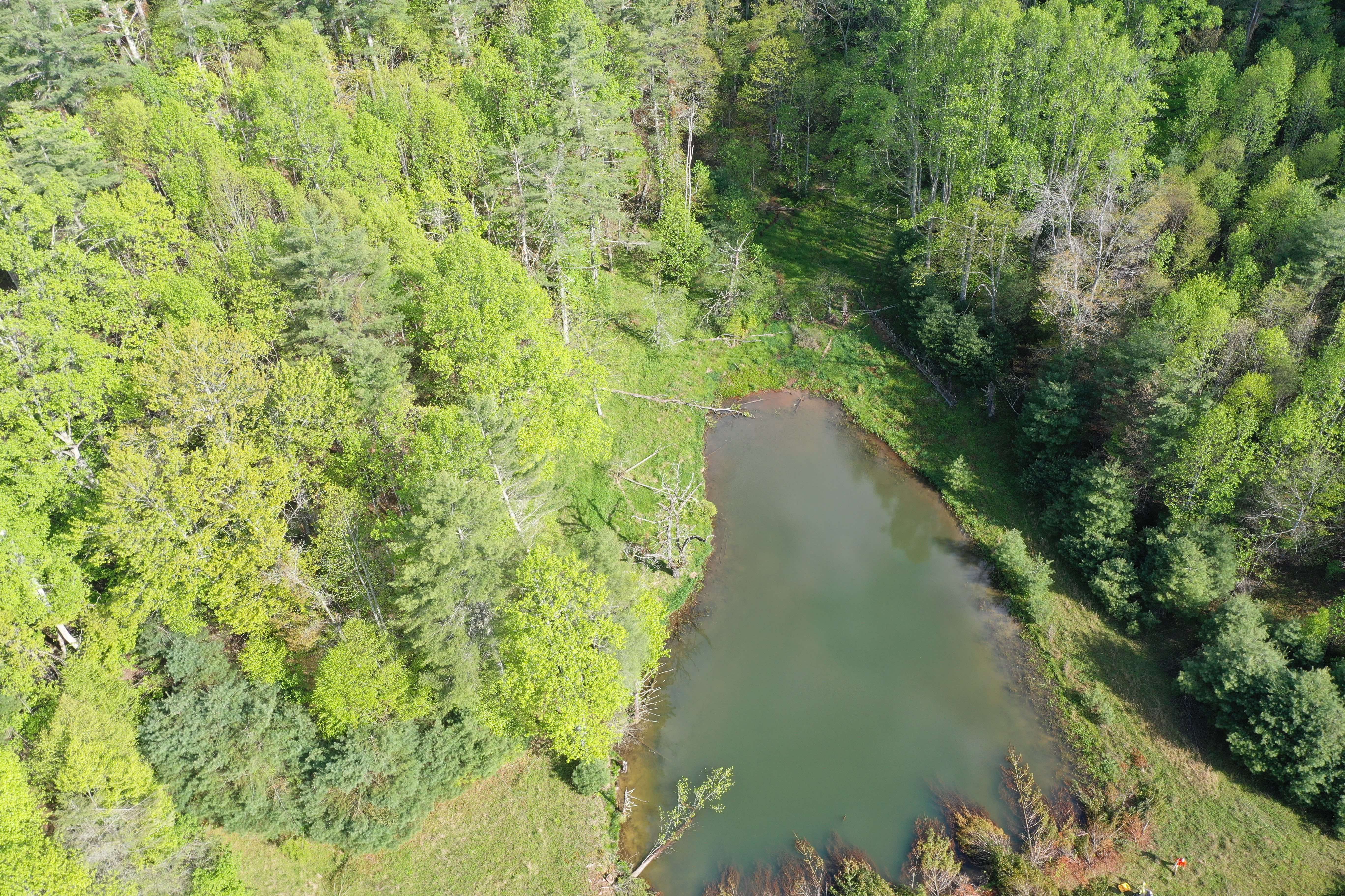
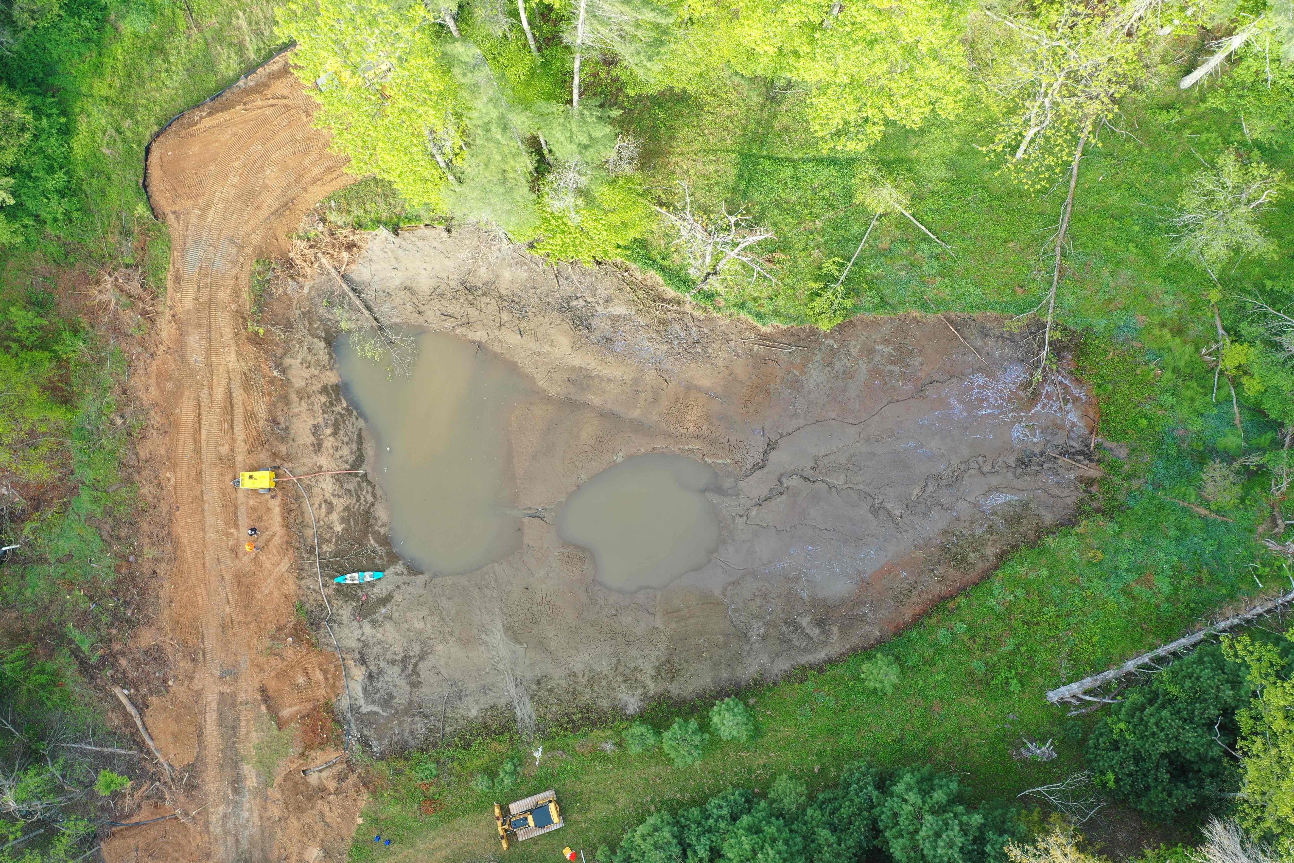
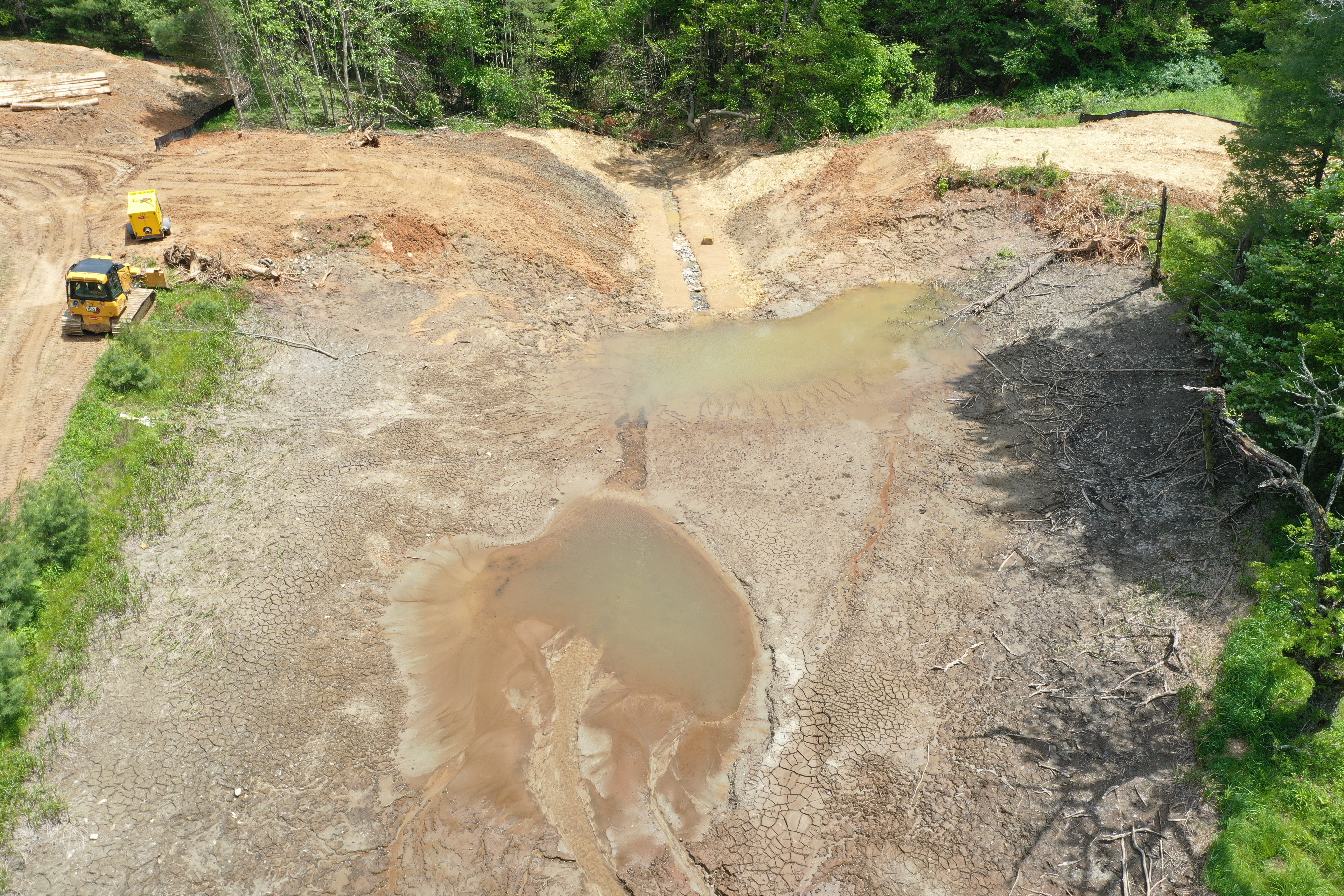
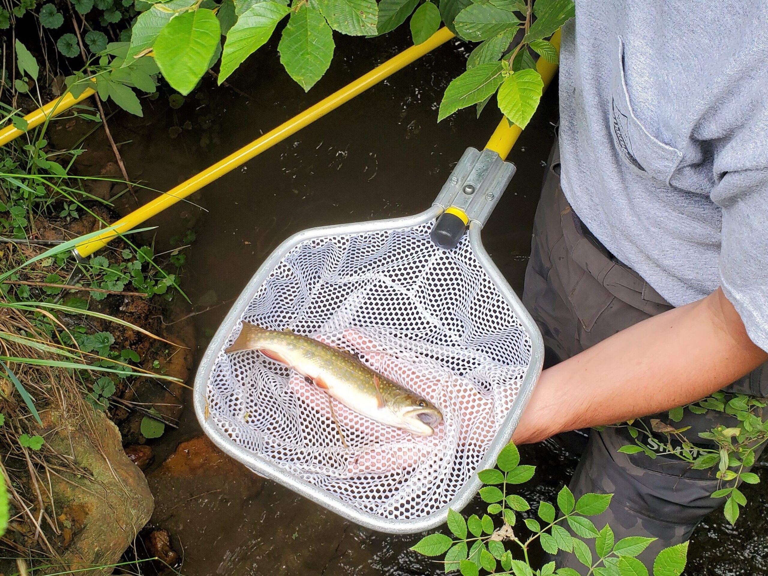
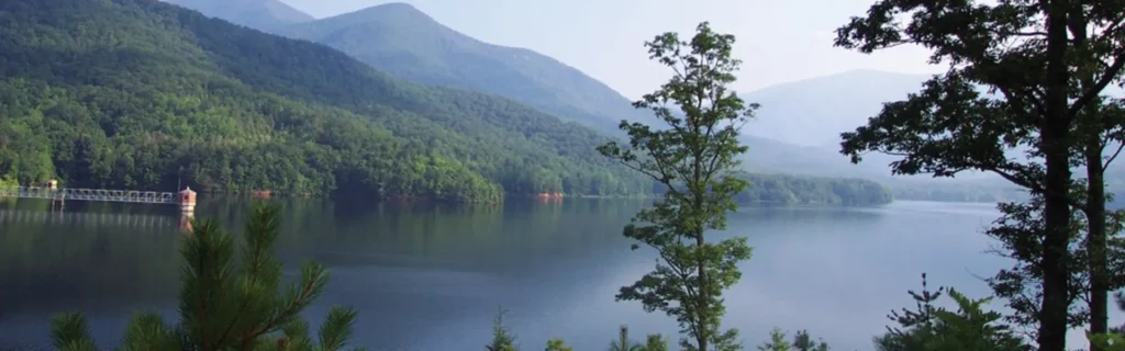
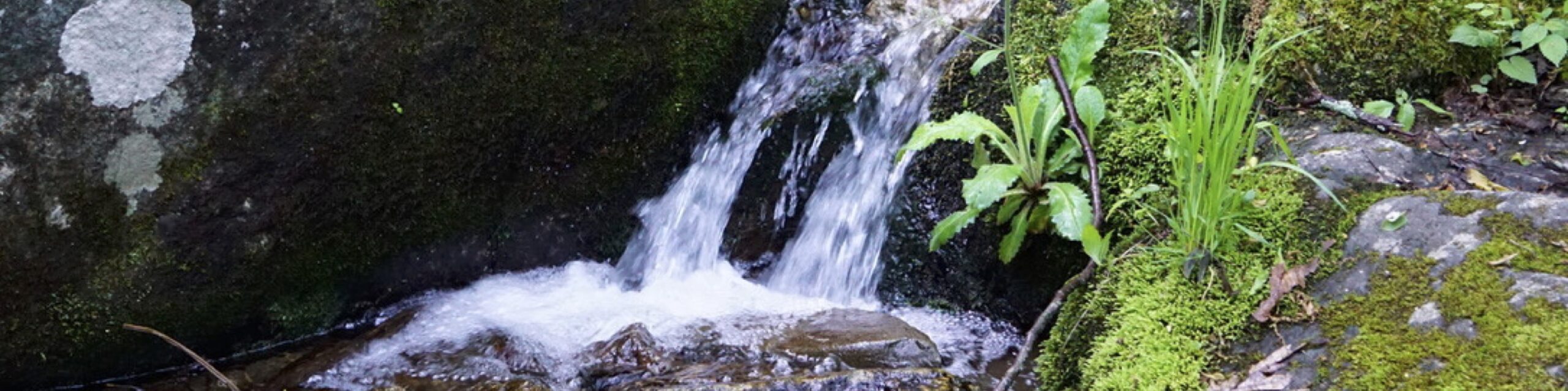
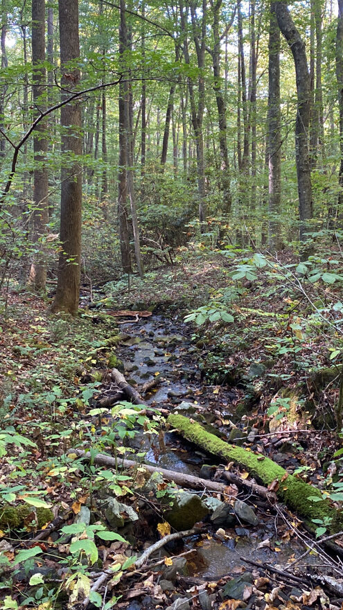
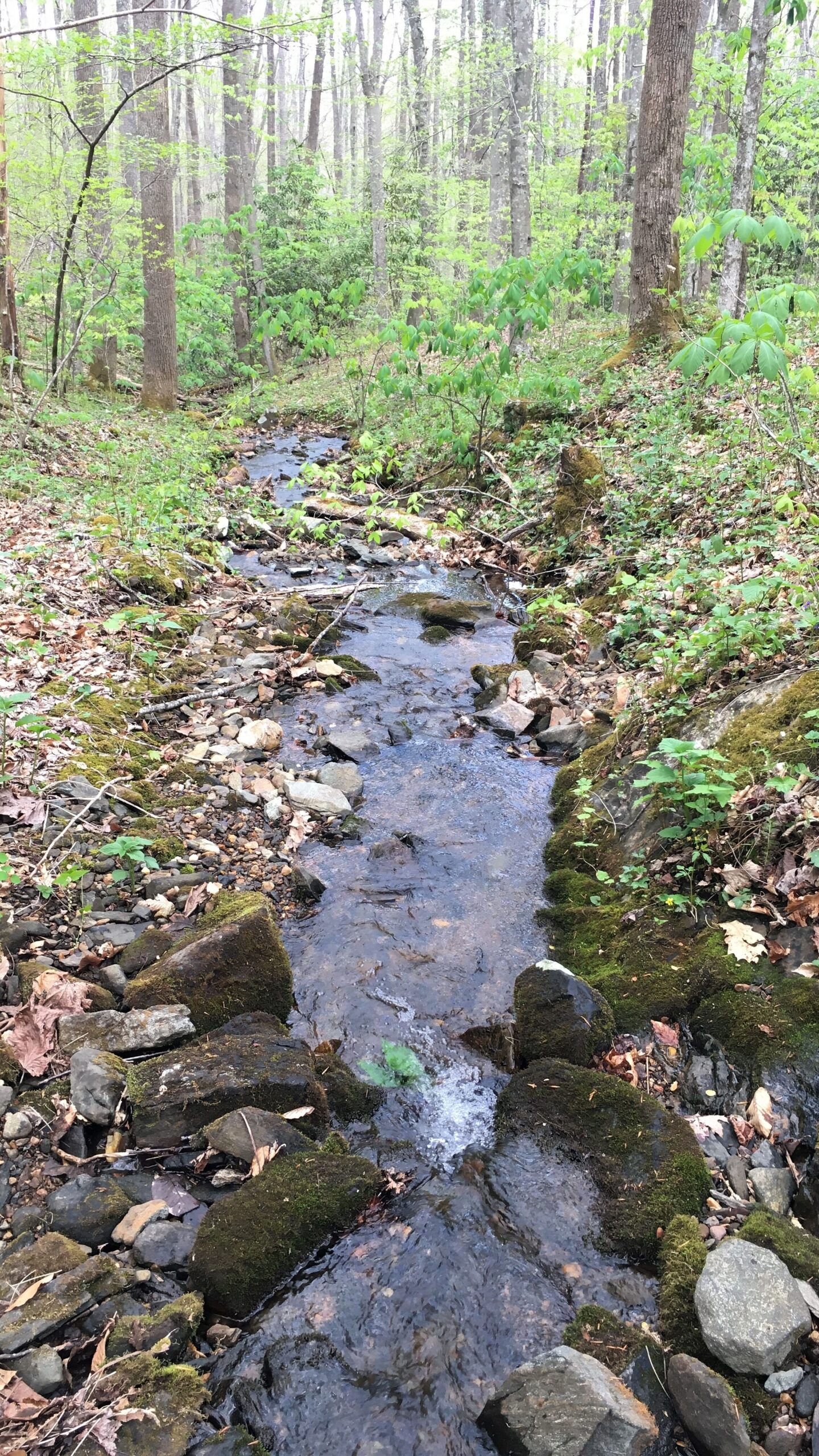
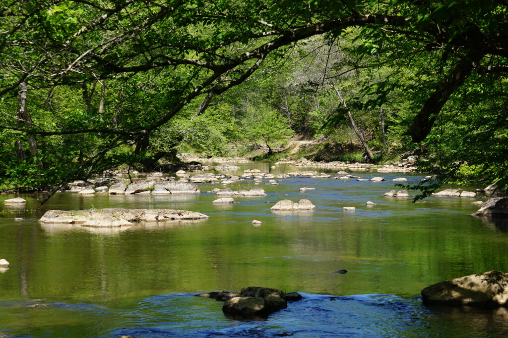
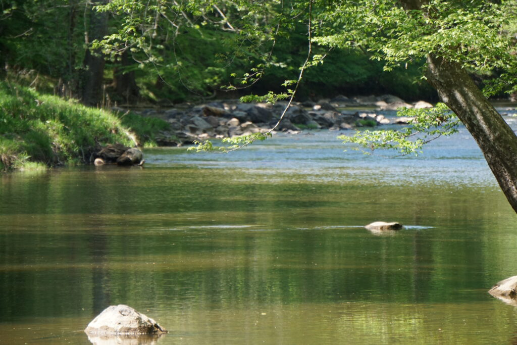
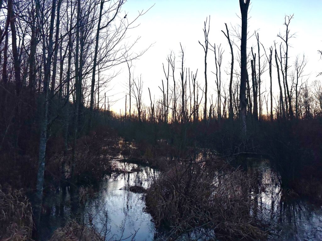
This 393-acre property adjoins 440 acres already protected by CTNC and transferred to the National Park Service. CTNC’s continued expansion of protected land around Jeffress Park offers substantial benefits for regional water quality as well. The property contains the headwaters of Fall Creek, a Class C Trout Water that supports native brook trout, robust aquatic life, and recreation opportunities. These headwater streams feed the South Prong of Lewis Fork, the W. Kerr Scott Reservoir, and the Yadkin River, all of which supply high-quality drinking water for hundreds of thousands of North Carolinians. Protecting the upper reaches of this watershed strengthens the health and sustainability of these downstream communities.
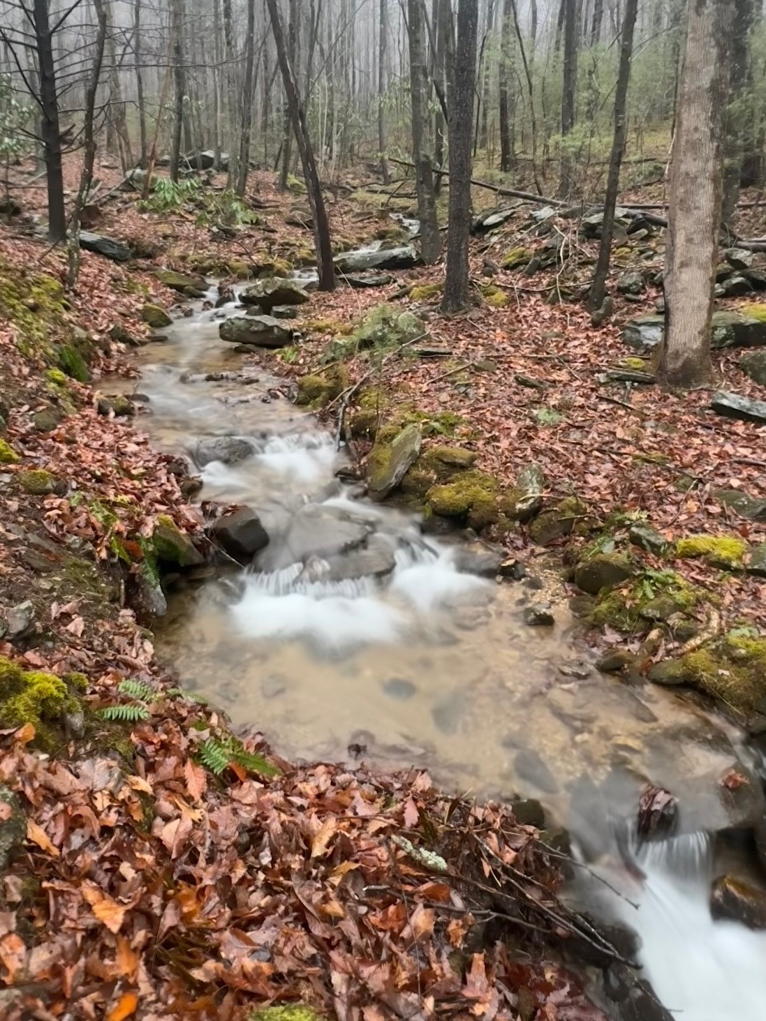
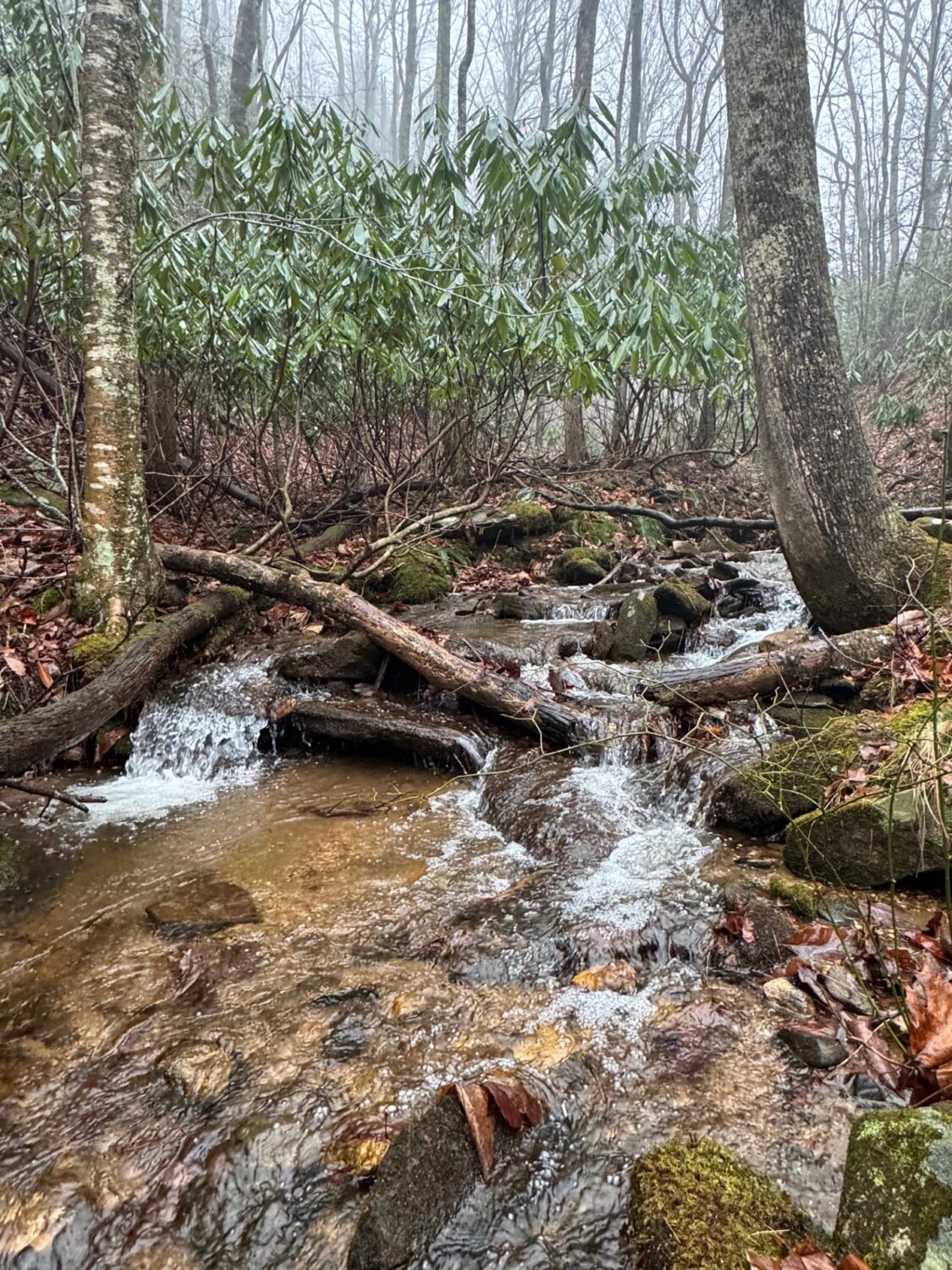
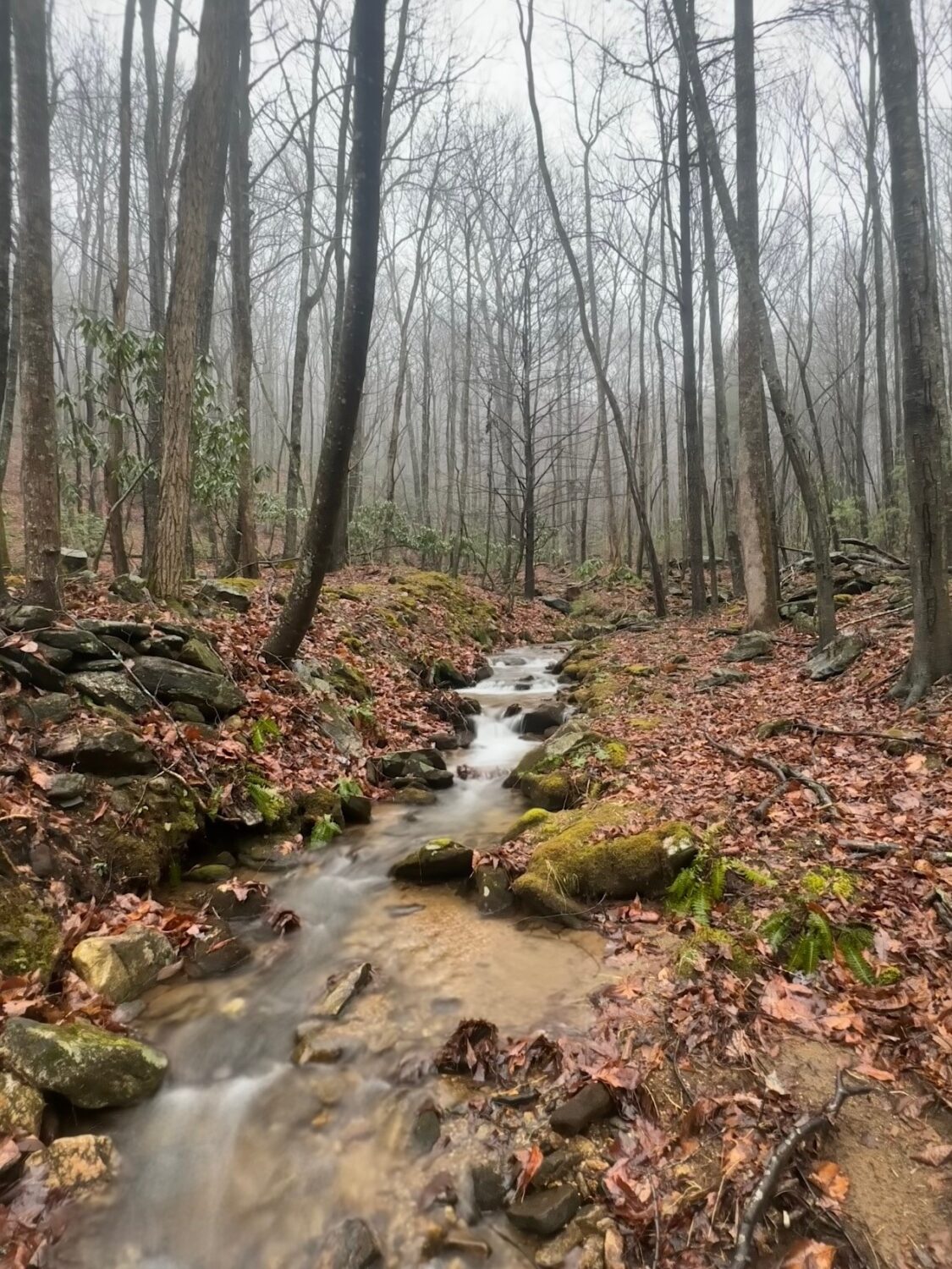
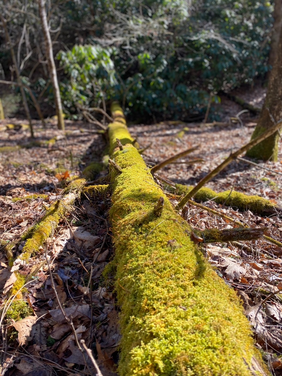
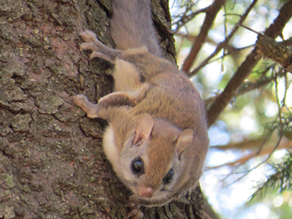
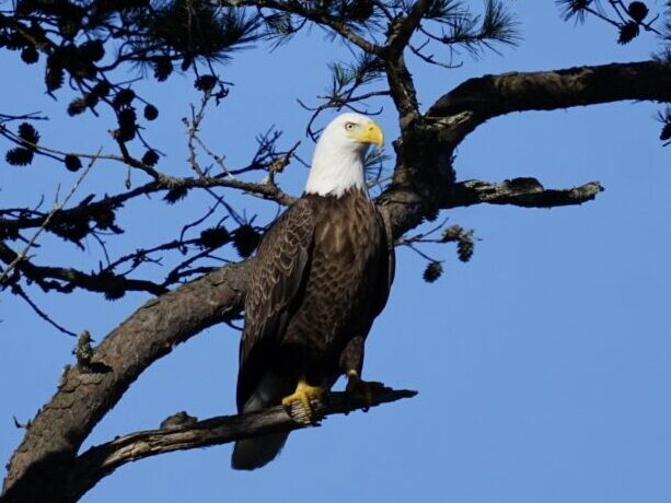
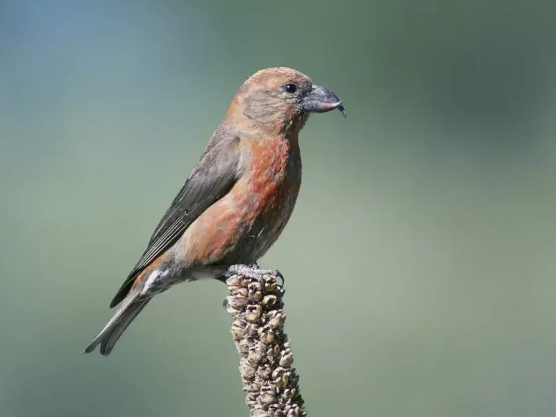
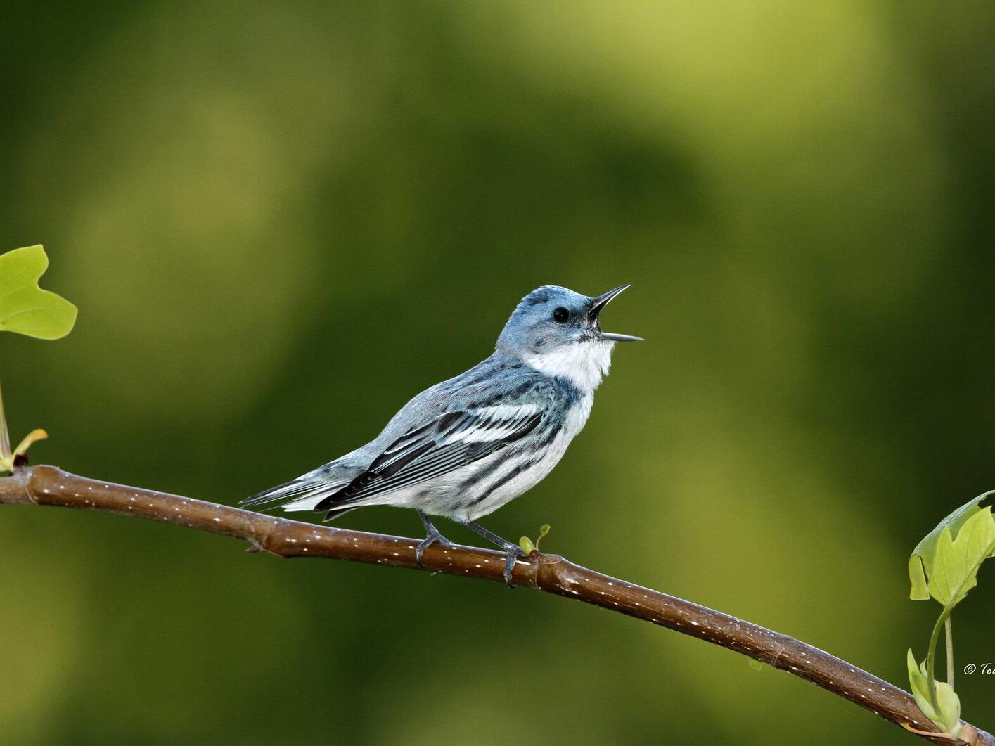
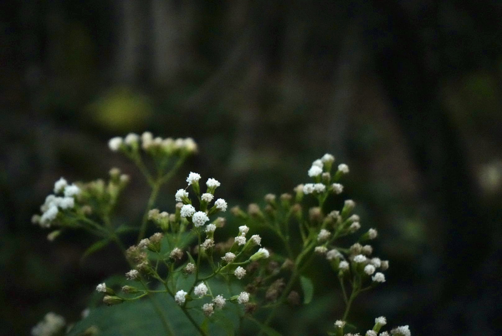
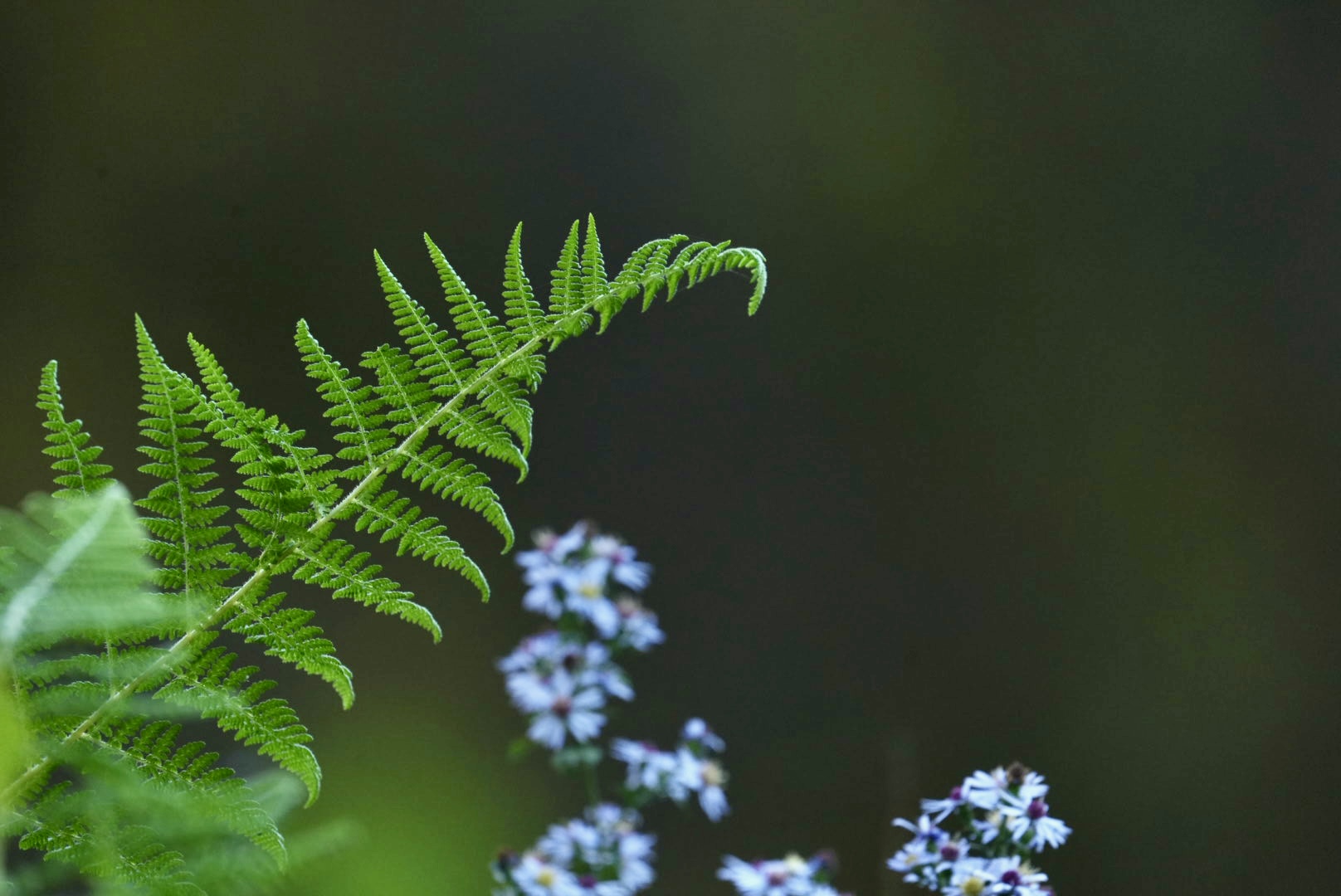
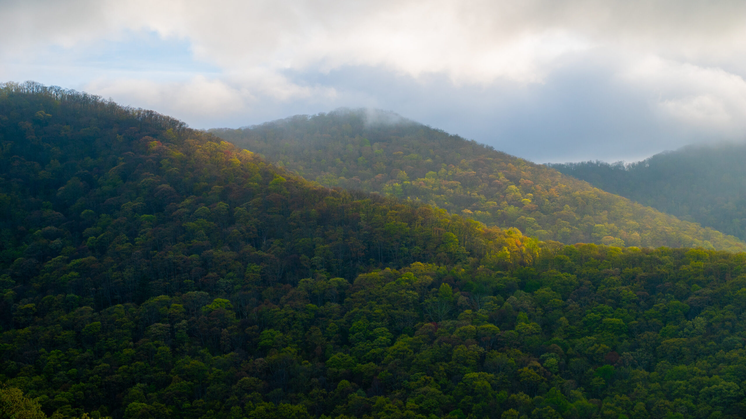
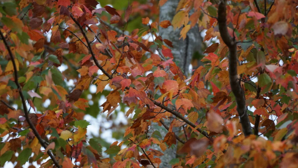
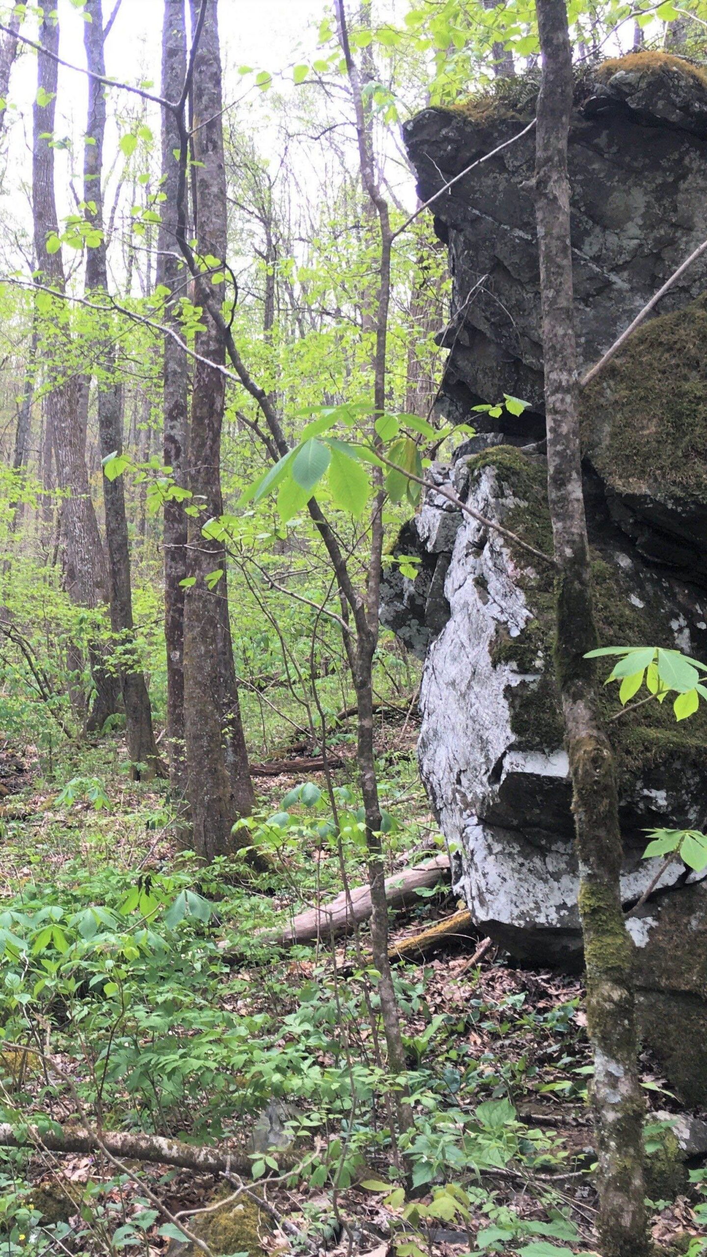
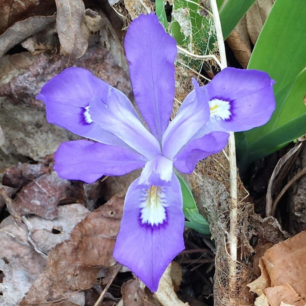
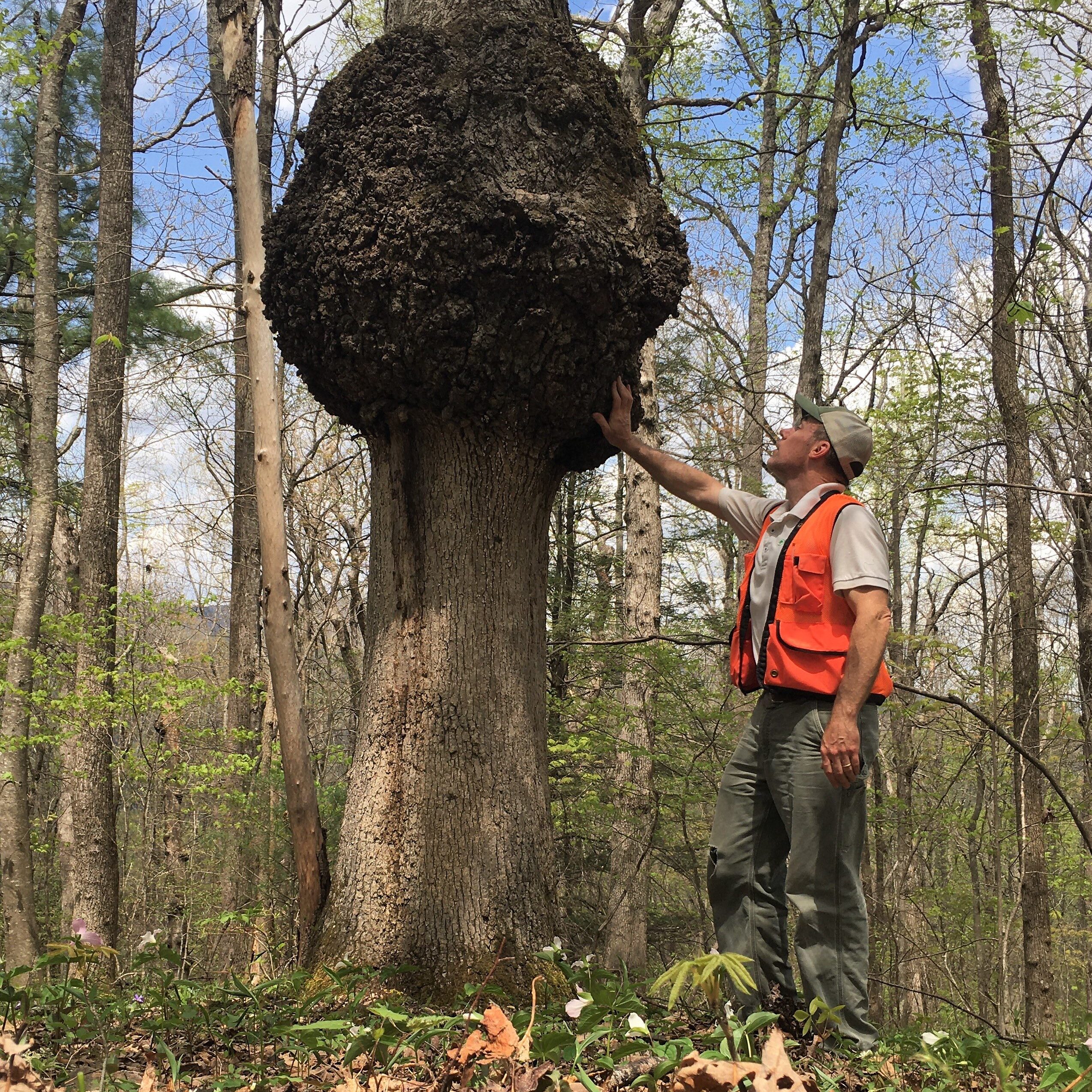
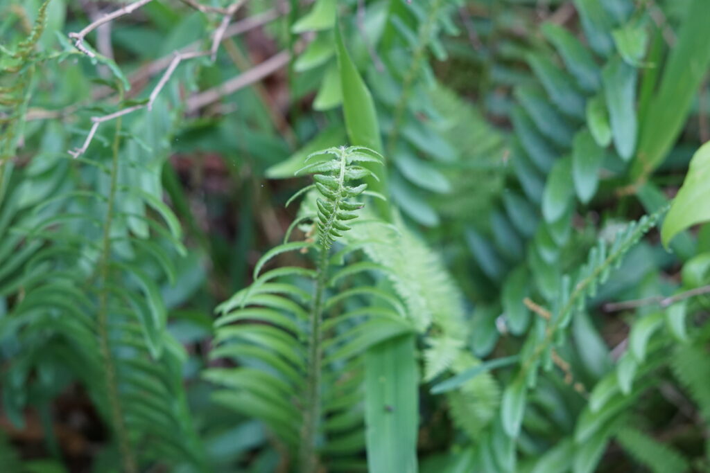
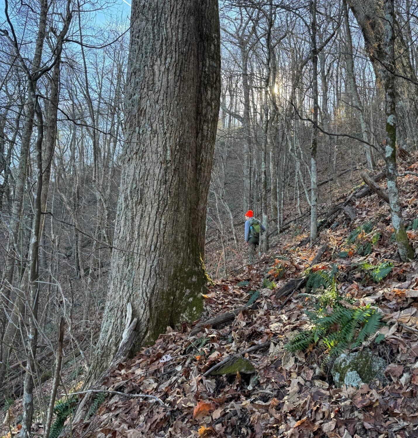
Ecological assessments reveal this property’s exceptional conservation value; offering intact forest, large rock outcrops, and numerous moist rock exposures that support a diverse array of native species. Approximately thirty acres of mature, old-growth forest lies along the uppermost elevations adjoining the Parkway, providing critical habitat for wildlife species such as the cerulean warbler. Not only do old-growth trees support biodiversity, but they also stabilize soils and help to regulate local water flow and absorption.
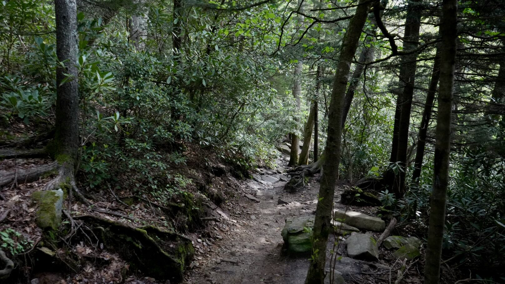
This conservation success also enhances public enjoyment of outdoor recreation. The Mountains-to-Sea Trail follows the property’s northwest boundary, and its protection enhances trail experiences and improves visitor access around E.B. Jeffress Park. With this latest addition, CTNC and partner land trust Blue Ridge Conservancy have now helped protect 1,021 acres of land around Jeffress Park, expanding public accessibility to natural spaces.
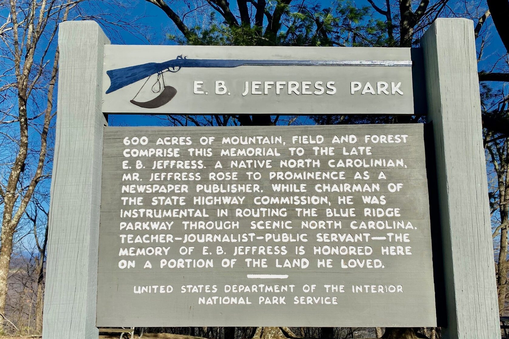
Jeffress Park History
E.B. Jeffress Park is named in honor of the man who helped convince the federal government to route the Blue Ridge Parkway through North Carolina and helped convince the National Park Service not to charge a fee for access.
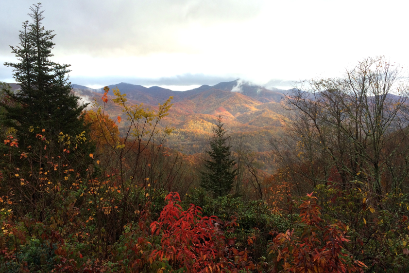
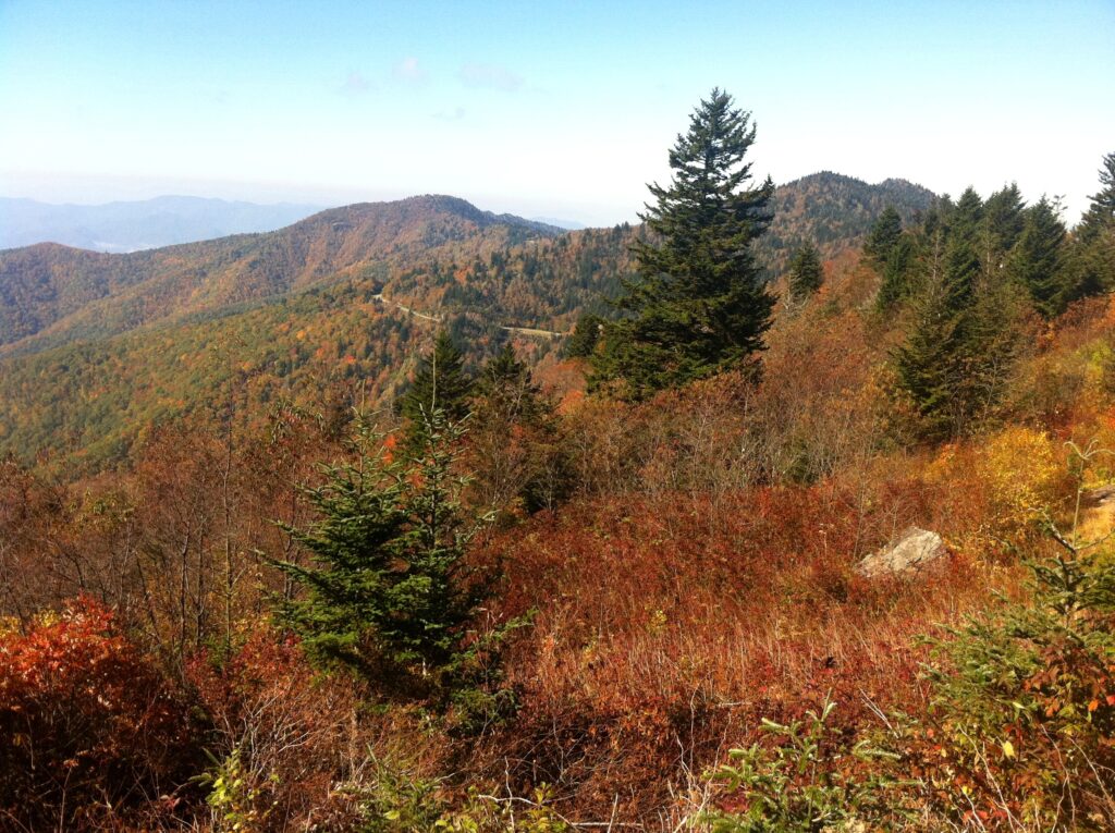
Jeffress Park (pronounced “JEFF-rees”) is home to the popular Cascades Trail, the 3,657-foot Tompkins Knob, and one of the Parkway’s largest picnic areas. Easily accessible off Hwy. 421, between Boone and Wilkesboro, it is a popular stop for travelers, and a respite for locals.
Originally barely 500 acres, Jeffress Park is the largest block of protected land along the Parkway between Moses Cone Park and Doughton Park, which are 52 Parkway miles apart. Jeffress Park’s function as a ‘conservation node’ along that narrow corridor of protected habitat is critical to species migration along the Parkway.
In 2004, CTNC sold 32 acres on the south side of the park to NPS, expanding the Blue Ridge Parkway at Jeffress Park for the first time since it was created. In 2016, CTNC purchased an 86-acre track below nearby Elk Mountain Overlook and donated it to the park service a year later. CTNC added another 30 acres in 2023 and a sprawling 408-acre property in 2024. Once transferred to NPS, the recently-acquired 393 acres will bring CTNC’s total to 949 acres added to E.B. Jeffress Park, along with 72 acres added by Blue Ridge Conservancy.
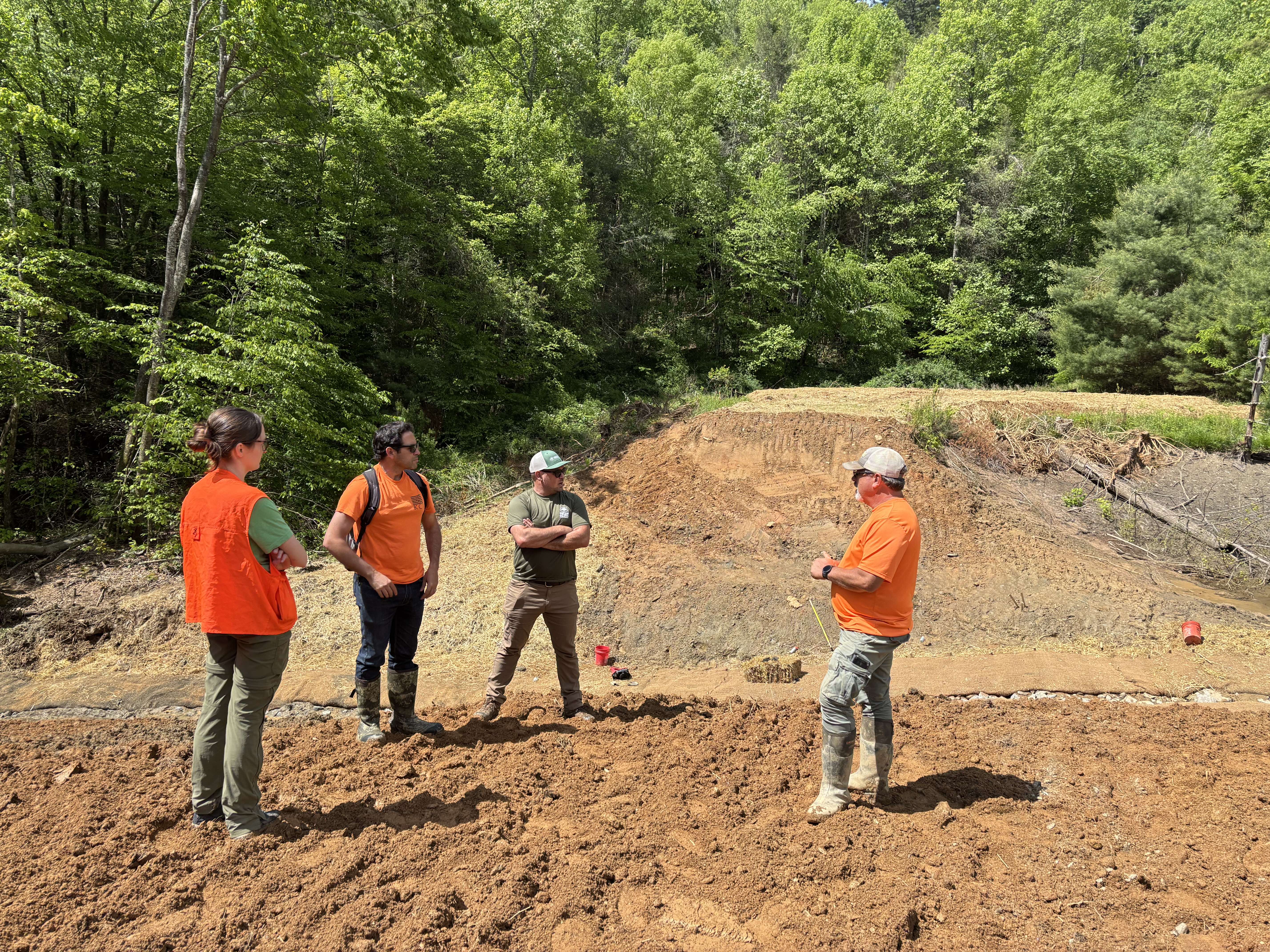
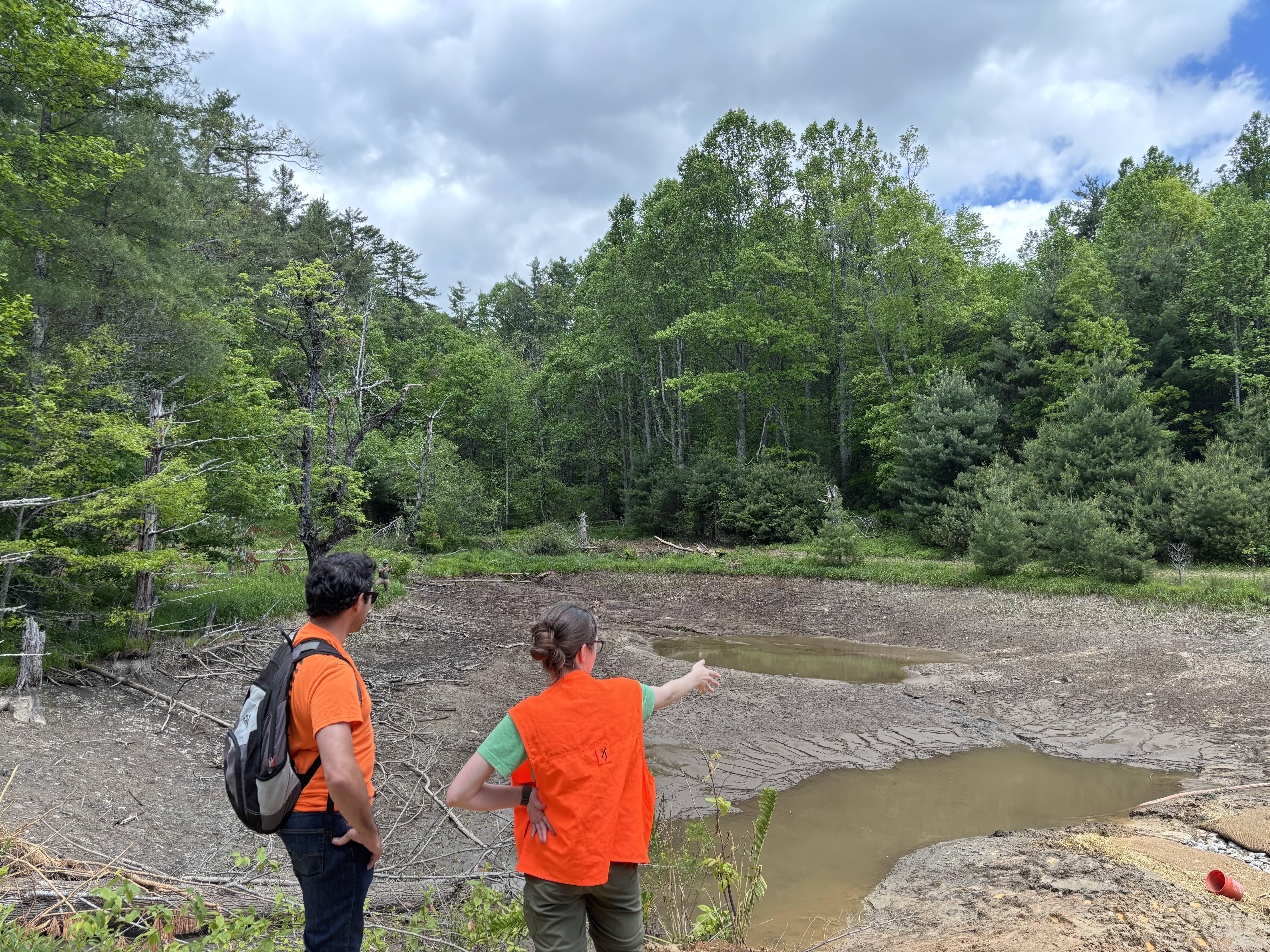
This project reflects a powerful investment in North Carolina’s future by protecting clean water, preserving iconic views, saving critical wildlife habitat, and enriching the outdoor experiences that define the region. Its success was also made possible through generous and gracious support from Fred and Alice Stanback, whose enduring commitment to conservation continues to benefit both the Parkway’s natural resources and its surrounding communities.