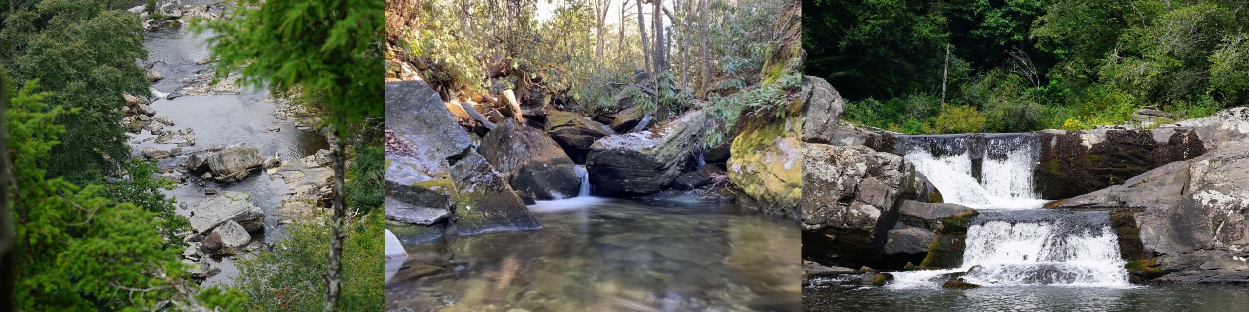
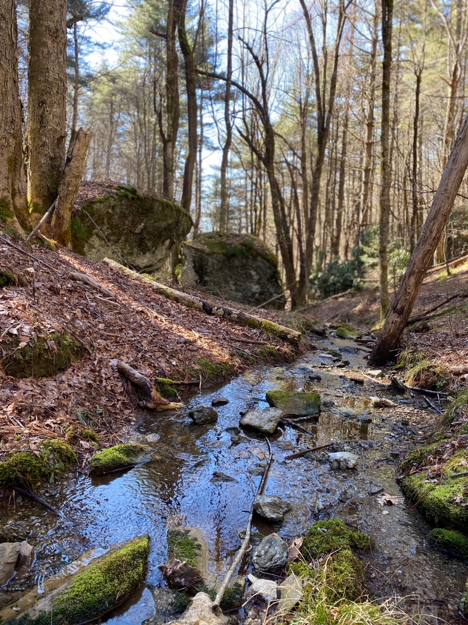
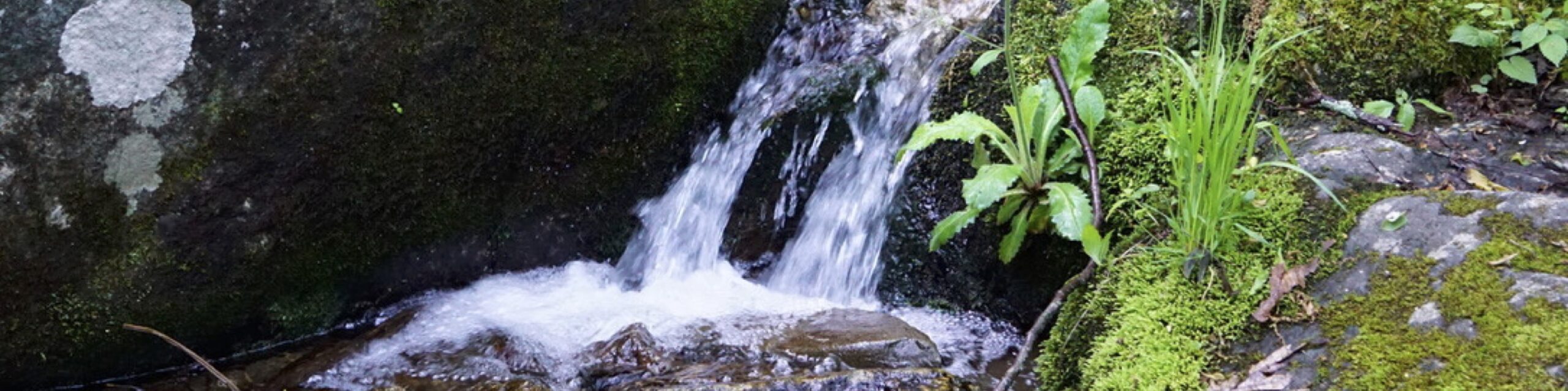
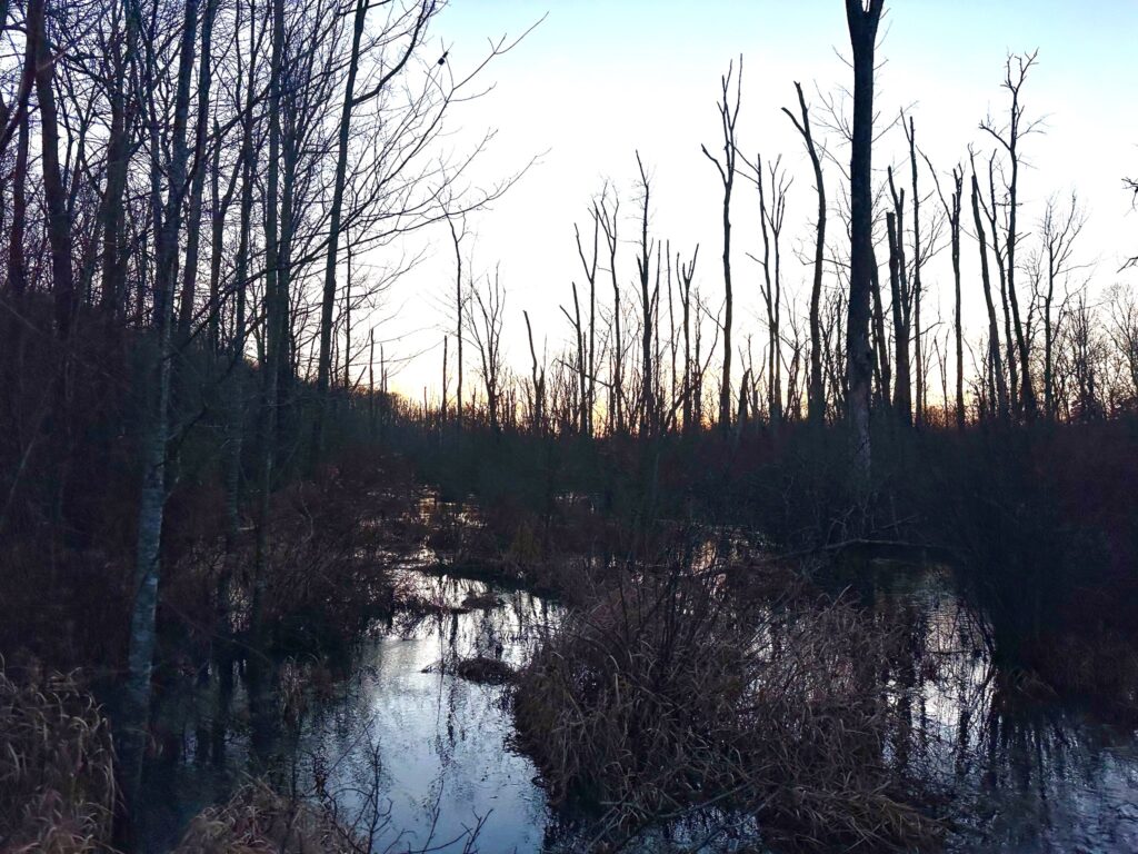
Linville Gorge is often called the Grand Canyon of the East, and for good reason. At the head of this federally-designated Wilderness Area lies North Carolina’s most iconic and most-visited waterfall – Linville Falls. The confluence of US Forest Service and National Park Service-Blue Ridge Parkway conservation land around the gorge is impressive, and it will soon grow.
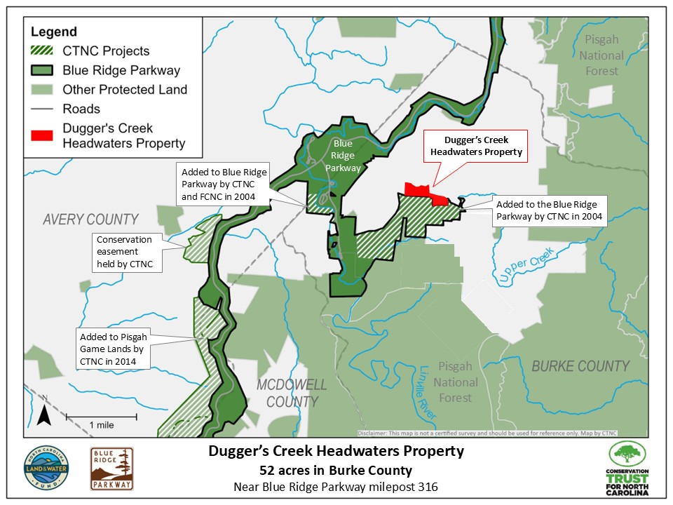
Conservation Trust for North Carolina (CTNC) recently purchased 52 acres at the head of the gorge in the headwaters of Dugger’s Creek, the last tributary entering the Linville River before tumbling over its massive falls. This is an important area for critical wildlife habitats, but it also protects water quality. Development or logging on this land could have had devastating long-term impacts on views from Linville Falls trails, and sent muddy water over Linville Falls and the smaller Dugger’s Creek Falls near Linville Falls Visitor Center.
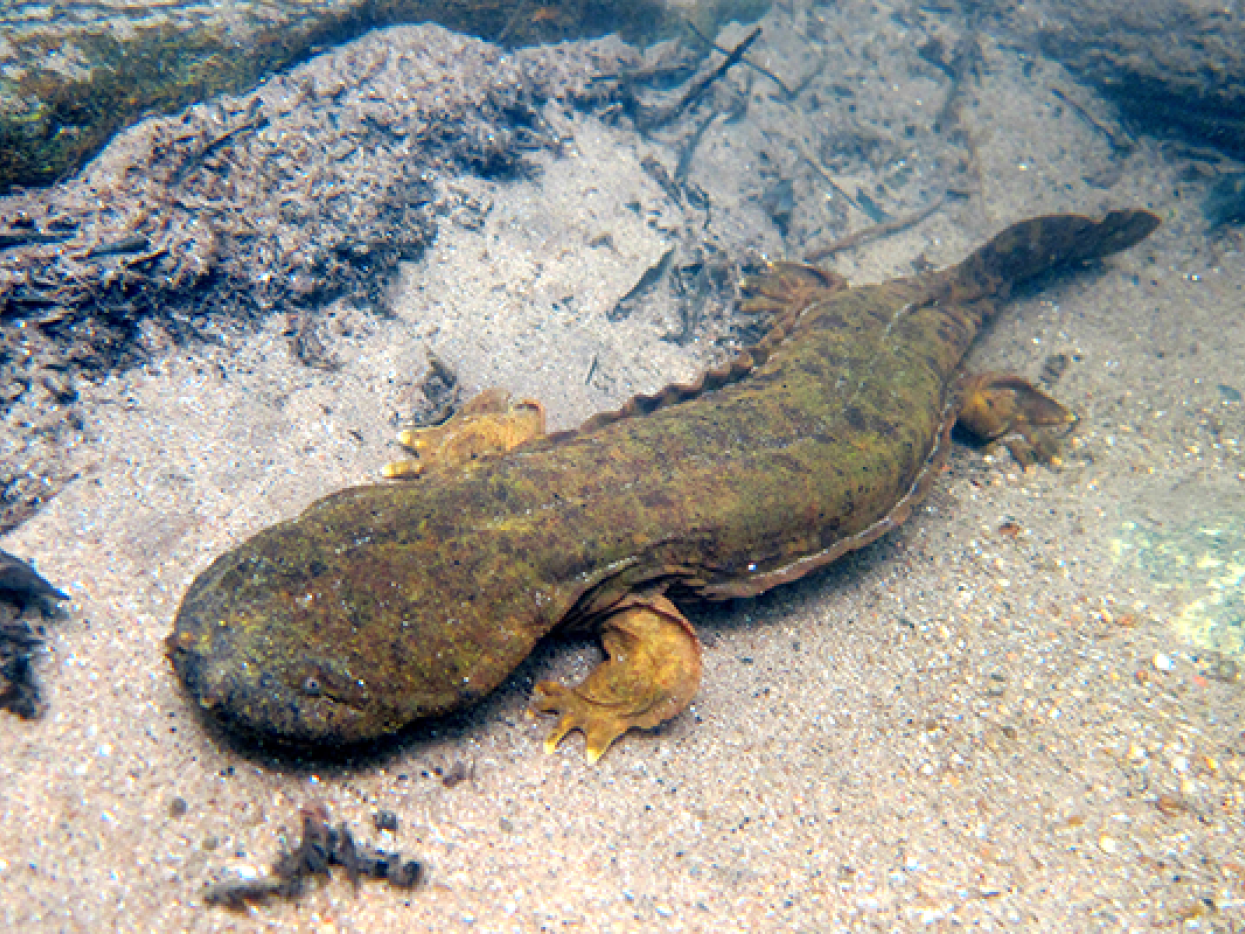
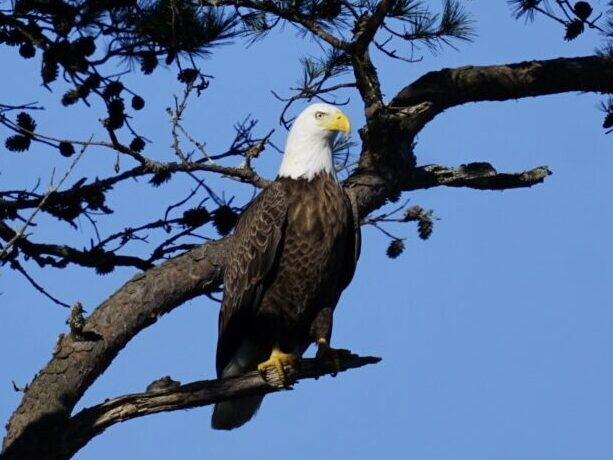
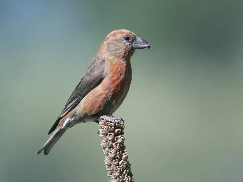
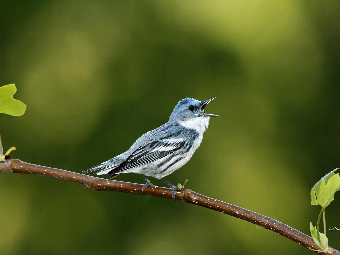
Many species found on the Protected Wildlife Species of North Carolina list have been observed at Linville Falls and the protected Dugger’s Creek property. Species on the NC Special Concern Species list spotted in this region include the red crossbill, cerulean warbler, brown creeper, and Eastern hellbender. Additionally found is the bald eagle, on the NC Threatened Species list, and the Carolina northern flying squirrel, listed both on the NC Endangered Species list and Federally Endangered. The presence of these vulnerable species is a great indicator of the importance of preserving this region.
The purchase of this property included three platted home sites that would have been visible from trails at Linville Falls, disrupting the pristine viewshed, making the protection of this land even more impactful. The two adjoining properties were bought separately but will soon be added to NPS holdings, expanding on the 356-acre property that CTNC donated to the park service in 2004. Along with another 40 acres protected in partnership with Foothills Conservancy of North Carolina, CTNC has now protected 448 acres at the head of Linville Gorge, enhancing the significance of this National Wilderness Area just off the Blue Ridge Parkway near milepost 316 in Burke County.
CTNC is grateful for the generosity of Howard W. Shields and his children: Carolyn, Burton and John, as well as the Hollinshed family, each of whom sold the properties to CTNC at a notable reduction in price in an effort to see this wild land protected in perpetuity. CTNC is also grateful funding from the NC Land & Water Fund, Fred & Alice Stanback, Ron Thurman, and an anonymous corporate donor.
CTNC Awards Grants to Western NC Land Trust Partners
CTNC awards $112,790 in grants to six land trust partners
In October, CTNC awarded six grants to six local land trusts in Western North Carolina to help them close the final funding gap on land protection projects. Through the Mountain Revolving Loan Fund (MRLF), CTNC is allocating $112,790 that will support partner land trusts in the mountains to protect an additional 4,790 acres.
The CTNC Mountain Revolving Loan Fund has two significant benefits for our partners:
It provides crucial bridge financing with minimal interest to land trusts in Western North Carolina to purchase conservation land and easements. As loans are repaid, the money becomes available to re-lend.
A percentage of the balance of the loan fund is given out each year in grant awards. Grants of up to $25,000 are not required to be paid back. CTNC’s grants help cover transaction-related costs, land management, project administration, and long-term stewardship; often the most difficult project funding to raise.
This marks the 15th year of CTNC’s program! In that time, the program has provided a total of $1,507,000 to eight eligible land trusts supporting land conservation in the Blue Ridge mountains. Grants from CTNC have helped our fellow land trusts leverage more than $99M and protect 21,259 acres through 108 projects over the life of the program.
CTNC is proud to support the work of our amazing group of partner land trusts, and thankful for their conservation successes.
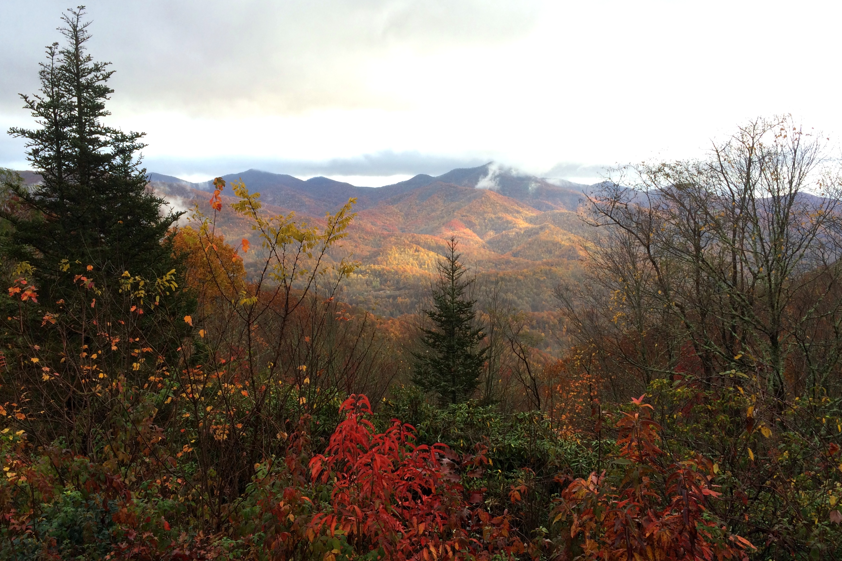
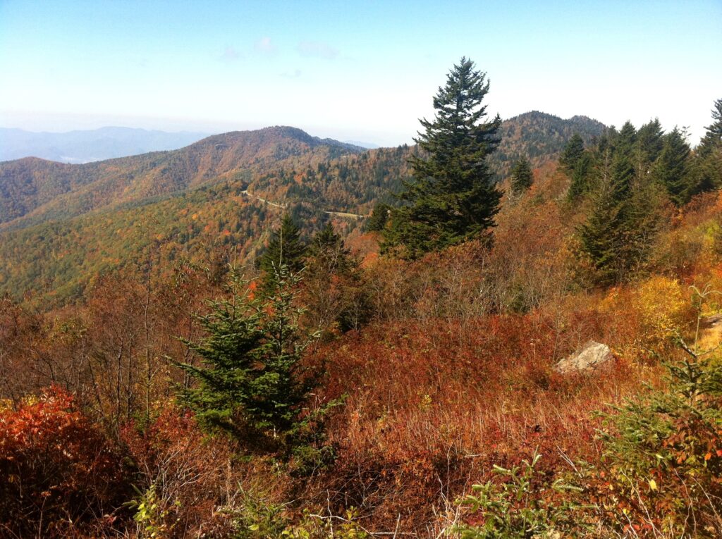
Support the Blue Ridge Parkway’s gateway communities recovering from Hurricane Helene while viewing the vibrant autumnal transformation
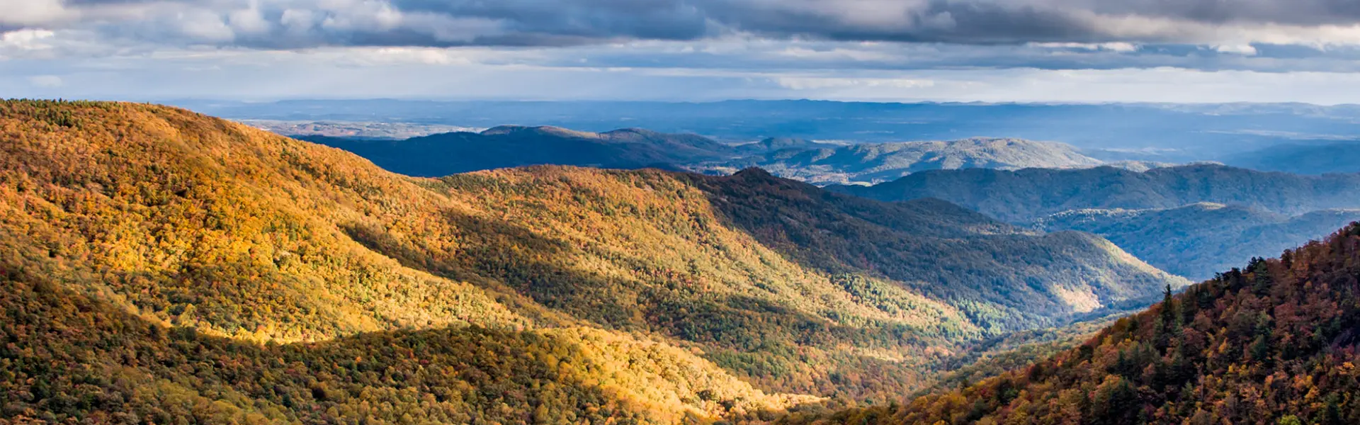
Last year, Hurricane Helene left a lasting mark on Western North Carolina. In the face of devastation, these communities responded with unwavering resilience, a testament to the deep-rooted connection between the people and the land they call home. As autumn returns and the mountains turn to the vibrant colors of peak leaf season, there’s no better time to experience the beauty of this region while playing a role in its recovery.
This fall, you can view the fall foliage and mountain scenery while supporting the Parkway’s gateway communities that are actively rebuilding. By visiting local shops, dining at family-owned restaurants, and staying in family-run lodges or inns, you help strengthen the local economies that form the backbone of this cherished landscape.
The “peak week” of fall foliage varies by location and elevation, so it’s important to plan ahead to ensure you can view the leaves at the optimal time. Check out this article for a fall photo tour of the Parkway with milepost locations. This website shares a fall foliage map with the projected timing of peak leaf colors by region.
From our partners at the National Park Service: “Whether leaf color for any given year is classified as ‘spectacular’ or simply as ‘average,’ the display will nonetheless be pleasing to the eye somewhere along the parkway. One reason is the parkway’s amazing diversity of trees. Some 100 species of native trees grow in the southern Appalachians and the majority of these are deciduous. Various species change color at different times over a long fall season.” Read more about when and why the leaves change here.
By permanently protecting critical forestland along the Blue Ridge Parkway, CTNC ensures the land continues to produce clean air and water, safeguarding vibrant plant and animal communities, sequestering carbon from the atmosphere, and providing space for the diverse tree species that produce the extraordinary autumn colors Western NC displays each year.
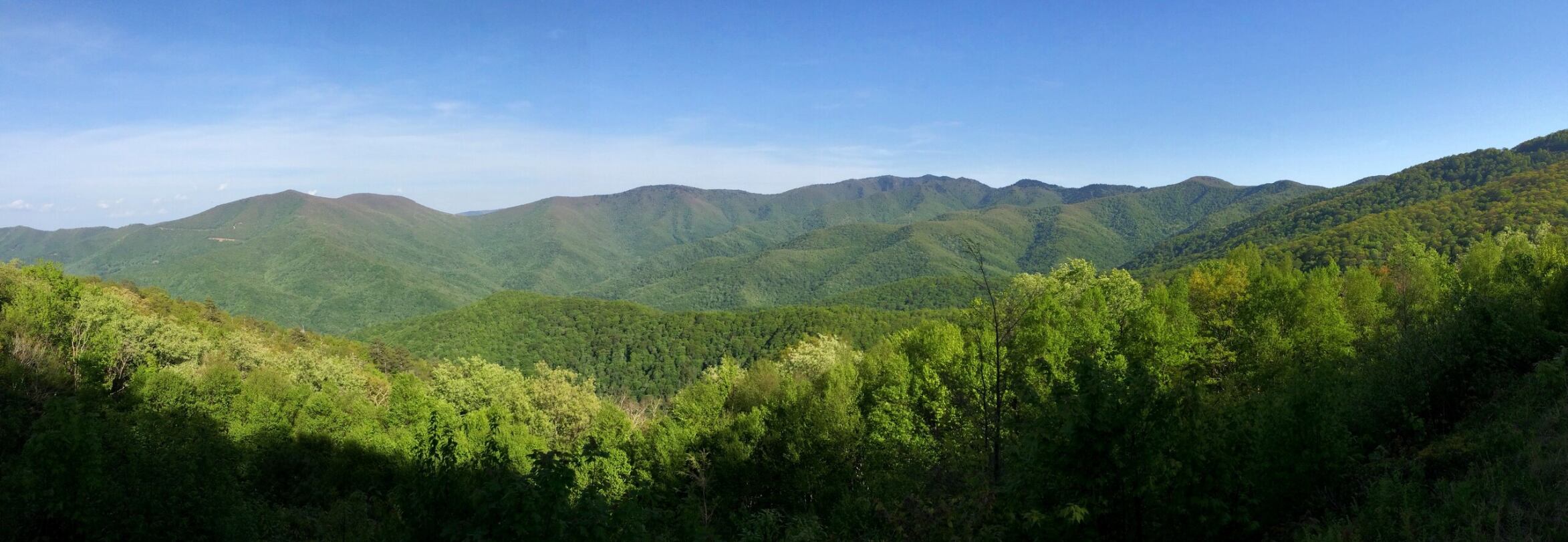
While you’re on the Parkway this fall, check out a few overlooks and locations with views you helped CTNC protect.
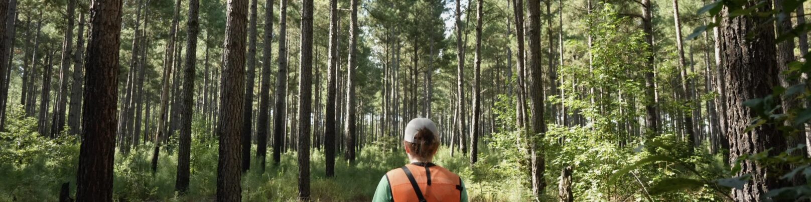
Highlights of our interns’ experience of hands-on fieldwork and community connections
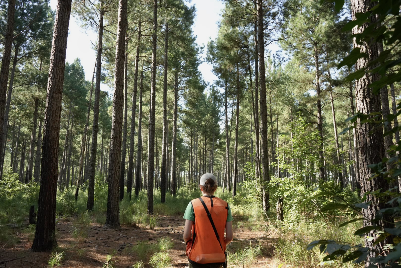
Each summer, CTNC welcomes interns from Duke University to play a role in land protection and community resilience work. The Stanback Fellowship Program is a collaborative initiative linking the Nicholas School of the Environment with nonprofit environmental organizations. This summer, Victoria Thompson and Sam St. Lawrence joined CTNC through the program.
Victoria worked on the Land Protection team as a Land Protection Assistant. Sam worked on the Resilience team as a Market Research Fellow. Both fellows provided a valuable role in developing new ideas and building CTNC’s capacity to continue our conservation mission.
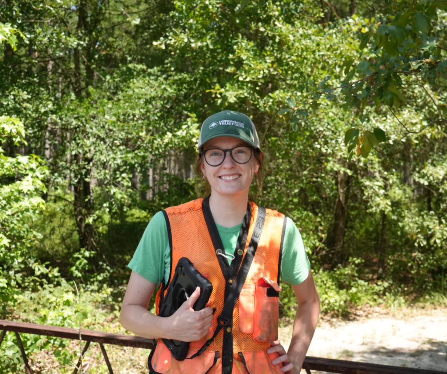
Victoria Thompson, Land Protection Assistant
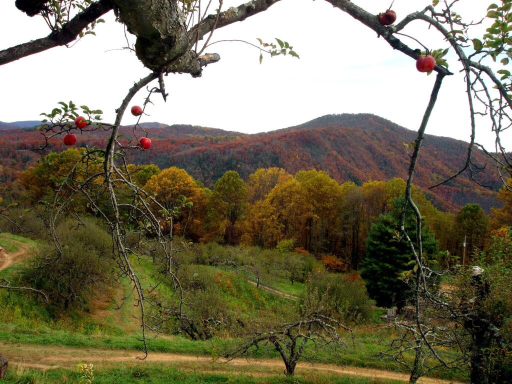
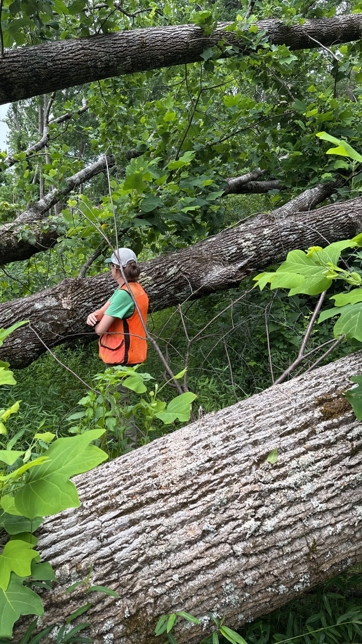
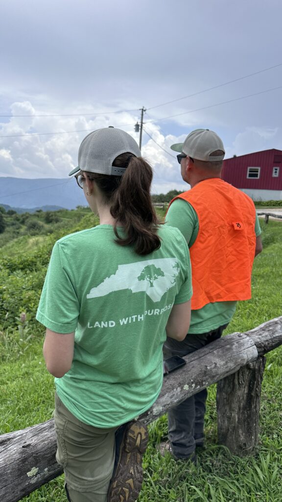
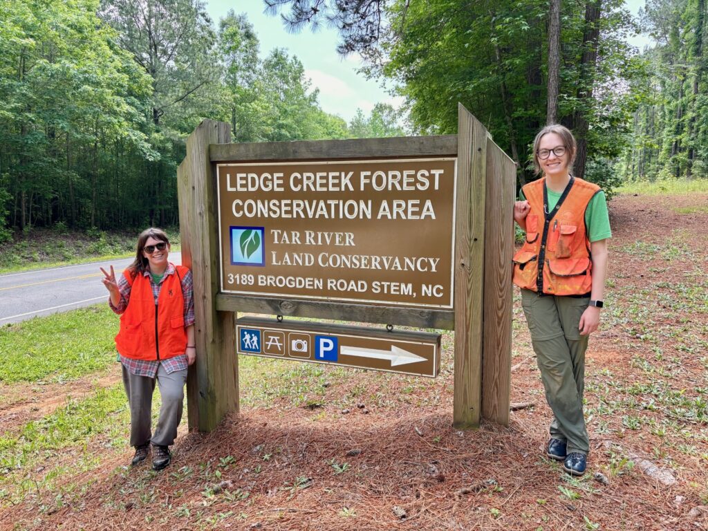
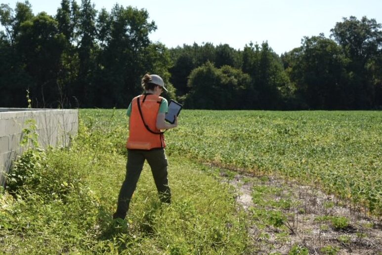
Throughout the summer, Victoria gained hands-on experience with the ins and outs of land conservation across the state. Over the course of her time with CTNC, she monitored 36 protected properties spread across 17 counties.
One property that left a lasting impression on Victoria was the Orchard at Altapass, a historic site along the Blue Ridge Parkway. Once at risk of being lost to development, the orchard was preserved through conservation efforts and now thrives as both a working orchard and a community hub. Victoria recalled a memorable day spent helping post NC Land and Water Fund boundaries with a colleague before enjoying the community-centered offerings of the orchard. For her, the orchard symbolized the long-term value and joy that conservation can bring to both landscapes and people.
Her biggest takeaway from the position was the complexity and collaborative nature of land conservation. Every project involves a web of ecological, legal, financial, and interpersonal components. Watching the CTNC team bring those elements together helped her understand the diverse skillset land trust professionals must possess.
While she expected to focus primarily on field work monitoring properties and GIS mapping, she quickly learned that relationships with landowners, conservation partners, and community members are at the heart of successful land protection. The experience not only affirmed her desire to pursue a career in conservation but also showed her that she was capable of meeting the demands of that path.
Sam St. Lawrence, Market Research Fellow
Over the summer, Sam joined as the first Stanback Fellow of her kind at CTNC. With the role of Market Research Fellow, Sam saw the position as an opportunity to bring her love for numbers and research into a new field while also learning more about North Carolina beyond the region she calls home.
Sam’s work focused on compiling and analyzing internal CTNC documents alongside publicly available data from current and potential partners. Her research painted a detailed picture of CTNC’s partnerships and opportunities for growth in community resilience work. One insight that stood out was the potential for stronger regional collaboration. While some areas of the state have already embraced cooperative resilience projects, Sam believes there’s room for more interconnected efforts and statewide solidarity, especially as climate impacts increasingly affect communities across the state.
When it comes to addressing climate change, Sam sees community-driven solutions as inherently flexible and rooted in local needs. Whether it’s a community garden, increasing public green space, or car-free zones, the key is listening to and incorporating ongoing feedback from the people most affected.
Sam’s biggest personal takeaway was learning to balance the analytical side with the humanistic aspects. Initially inclined to focus solely on numerical data, she challenged herself to also understand the personal connections and mission alignment between CTNC and its partners. This broader perspective not only enriched her research but also revealed the non-quantifiable value that some partnerships provide.
Year after year, our Stanback Fellows add new perspectives, ideas, and skills to enhance our work and uphold CTNC’s mission. Victoria and Sam’s contributions this year are a testament to how young professionals can both learn from and strengthen land protection and community resilience initiatives. By welcoming these emerging leaders, we not only expand our capacity to serve North Carolina’s people and landscapes but also invest in the next generation of conservationists.
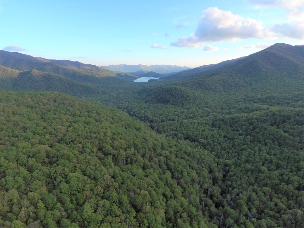
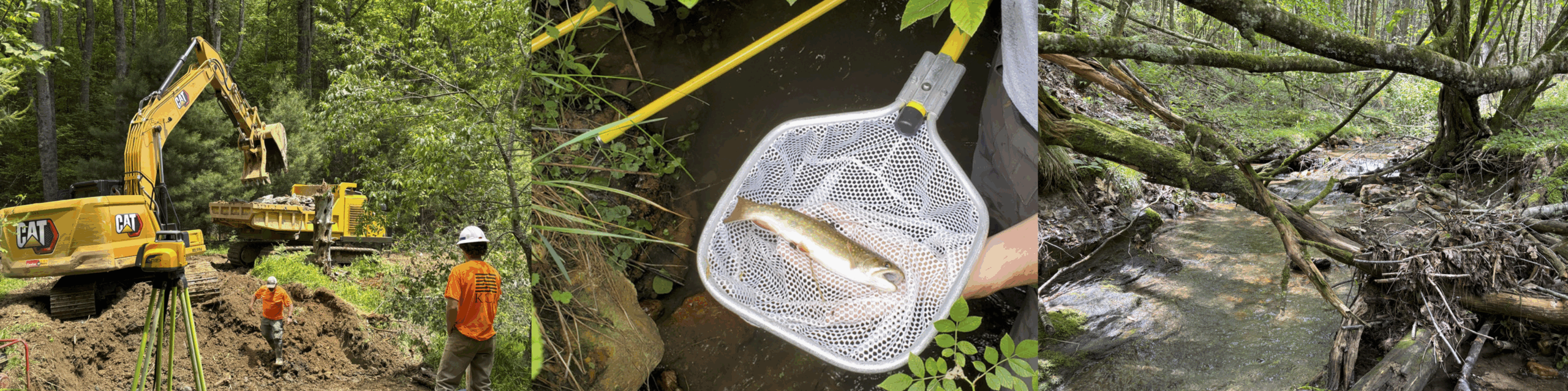
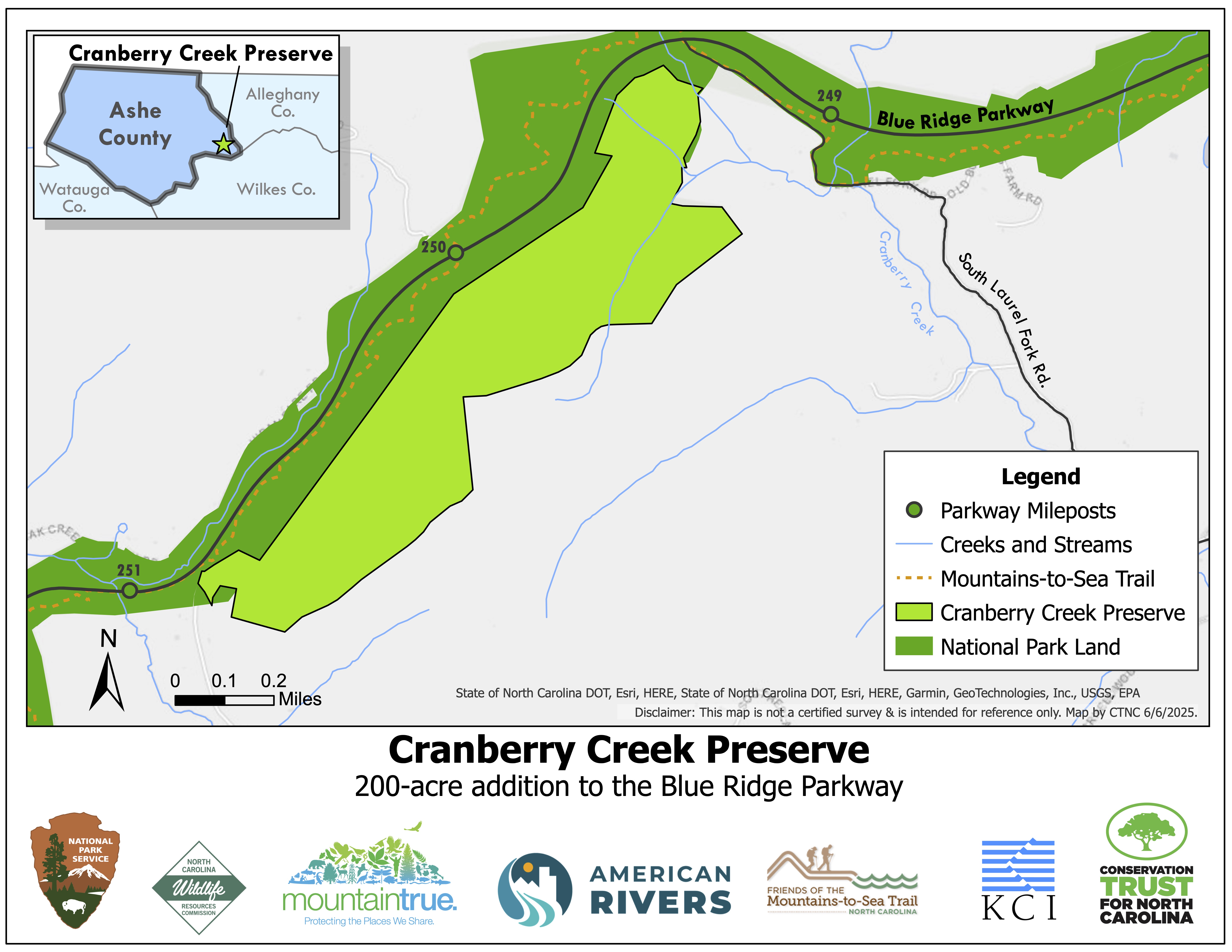
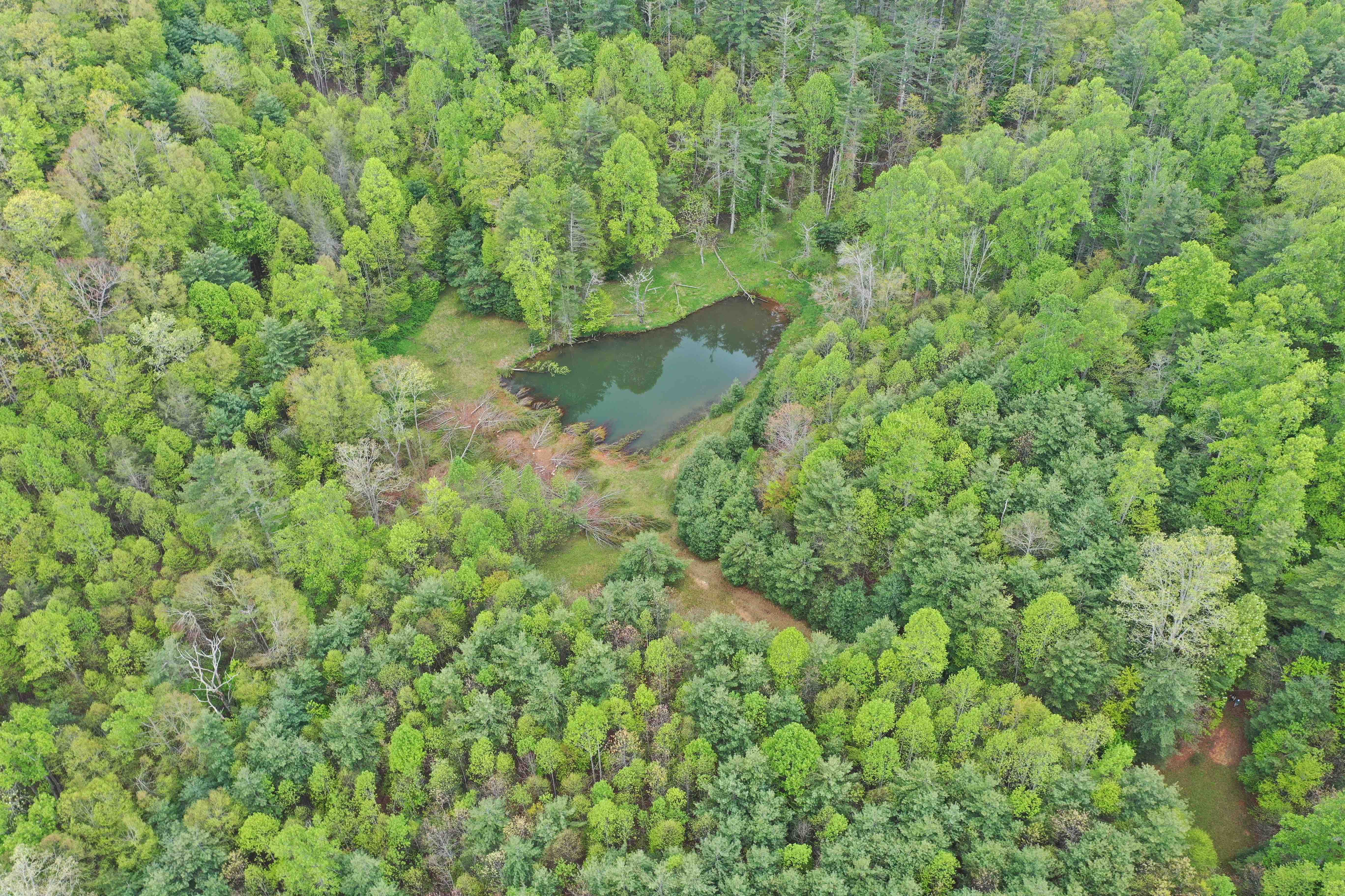
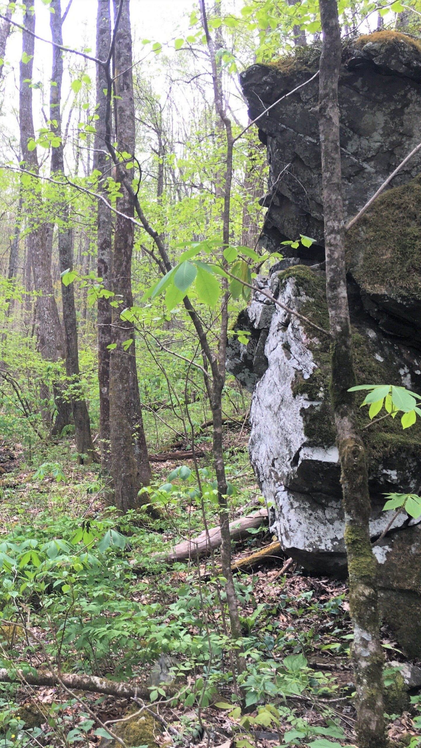
Developments to Cranberry Creek Preserve enriching local ecosystem
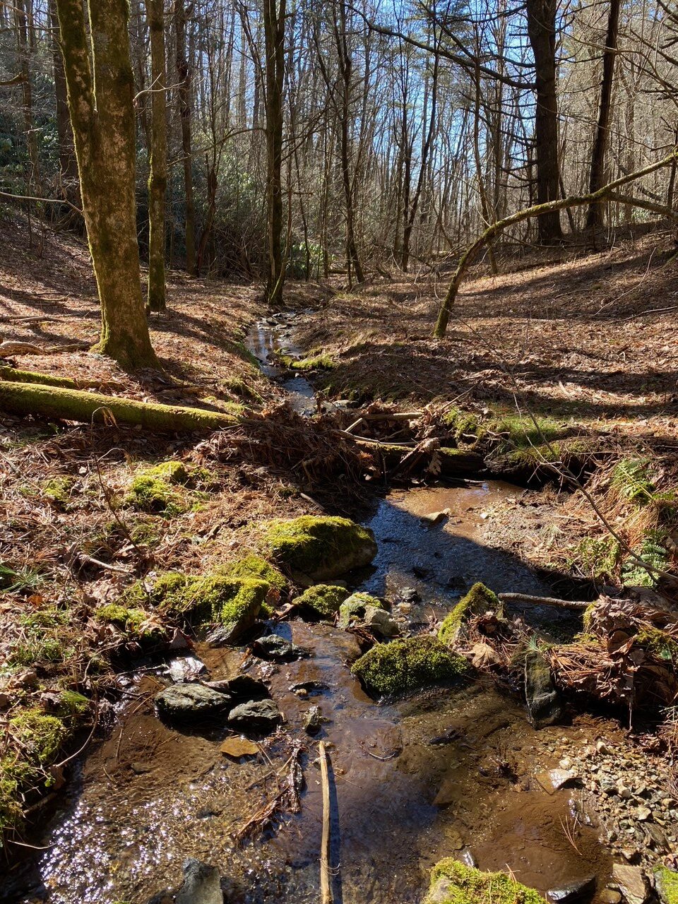
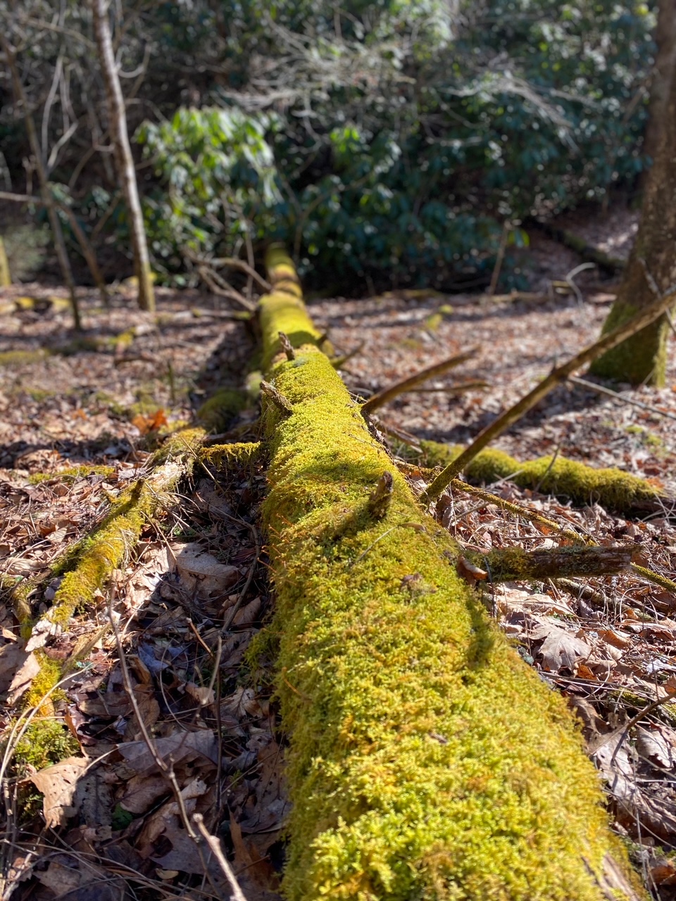
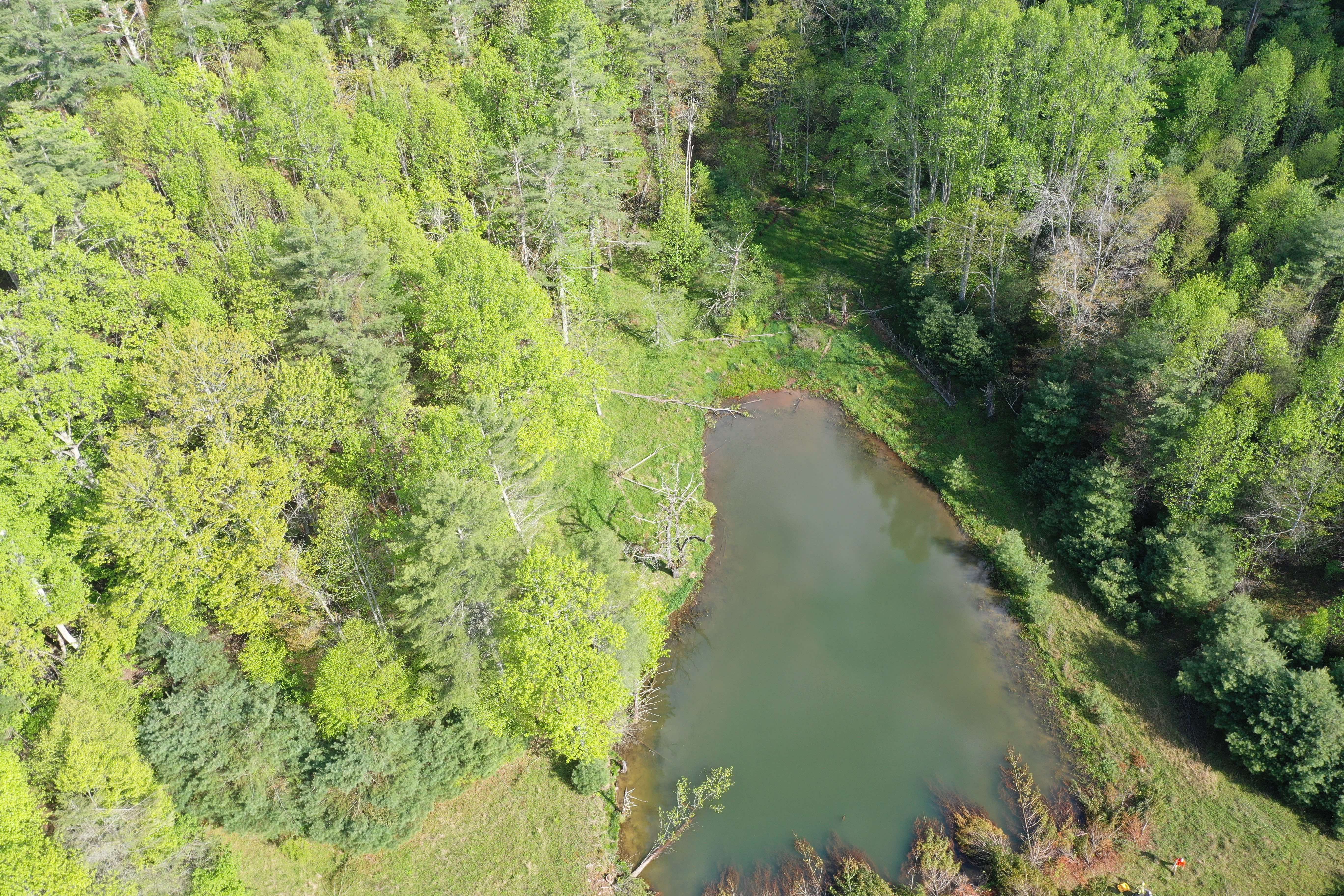
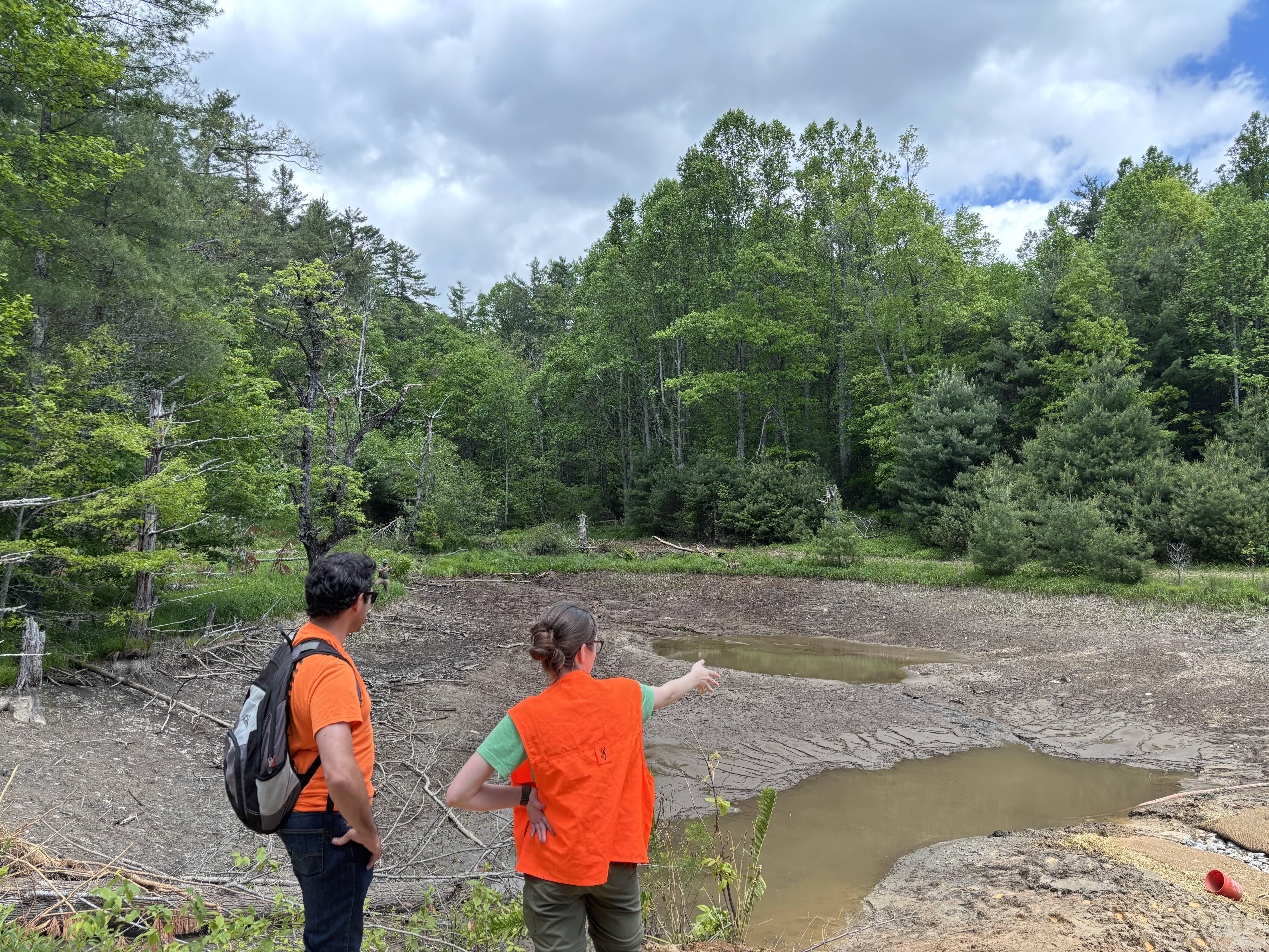
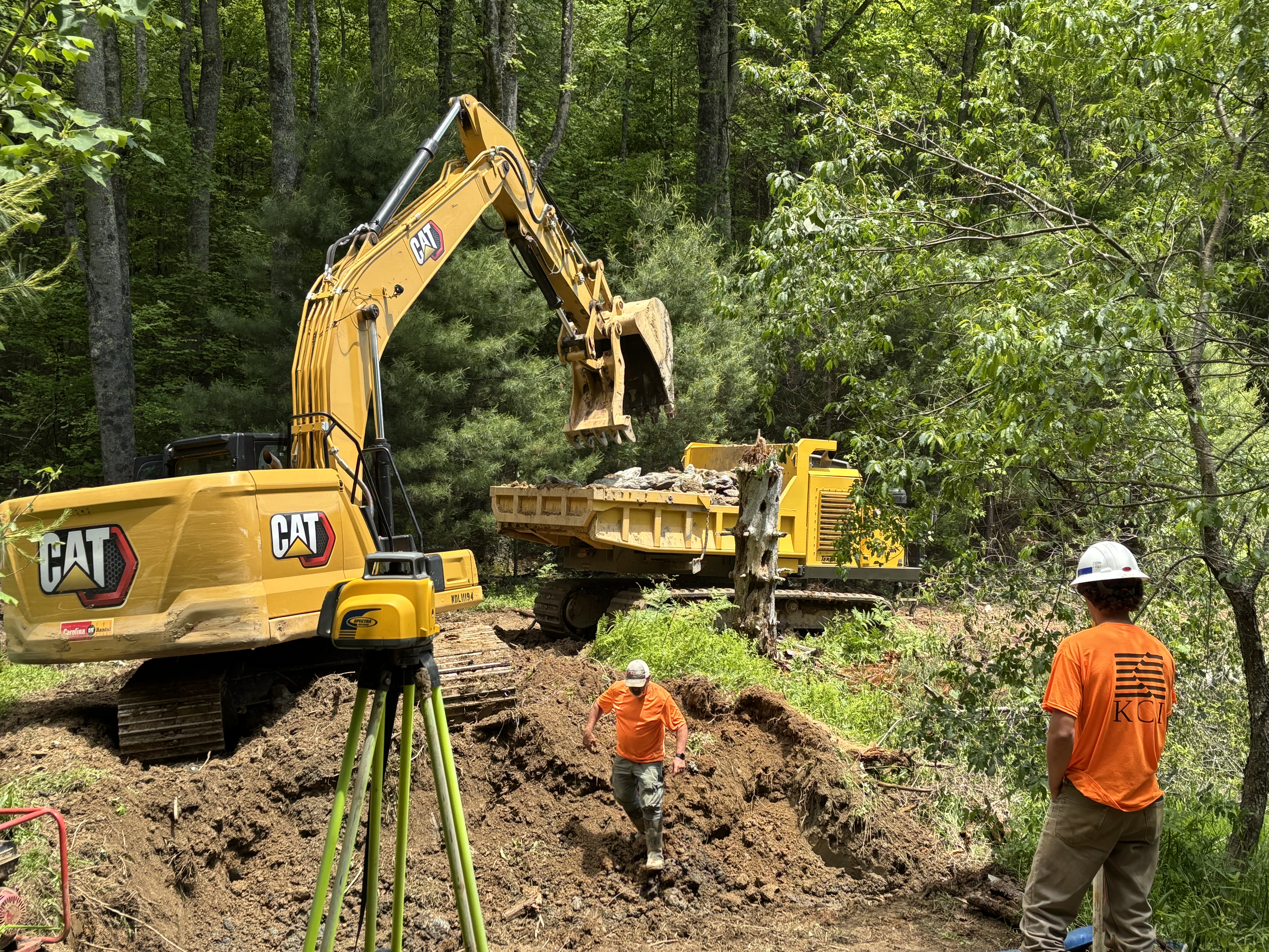
In the hills of eastern Ashe County near Glendale Springs, CTNC’s Cranberry Creek Preserve is a hidden gem along the Blue Ridge Parkway. Spanning 200 acres and hugging the Parkway for nearly a mile and a half, from milepost 249.5 to 251, this protected property has recently undergone an exciting transformation that will benefit downstream residents, hikers, wildlife, and the environment.
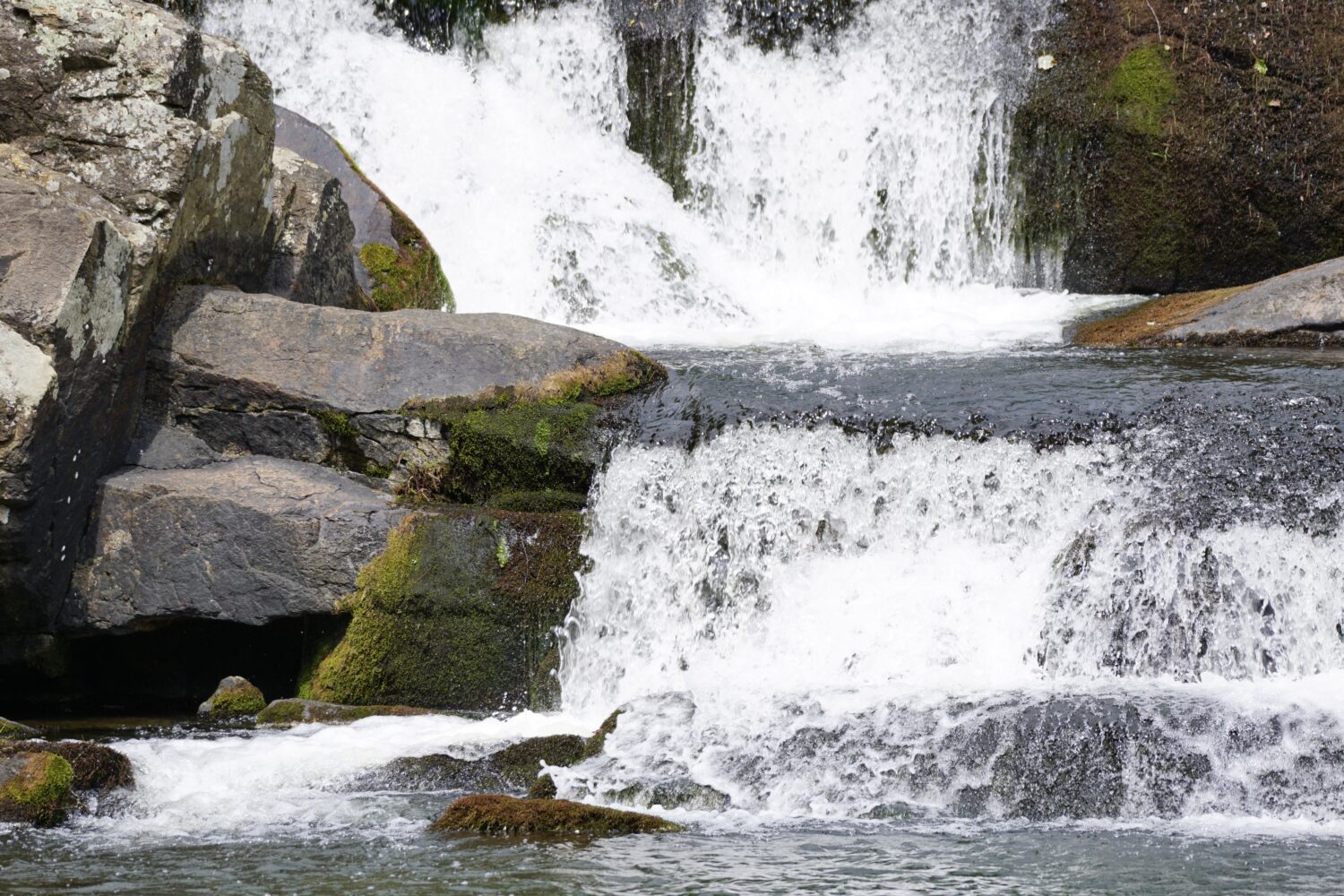
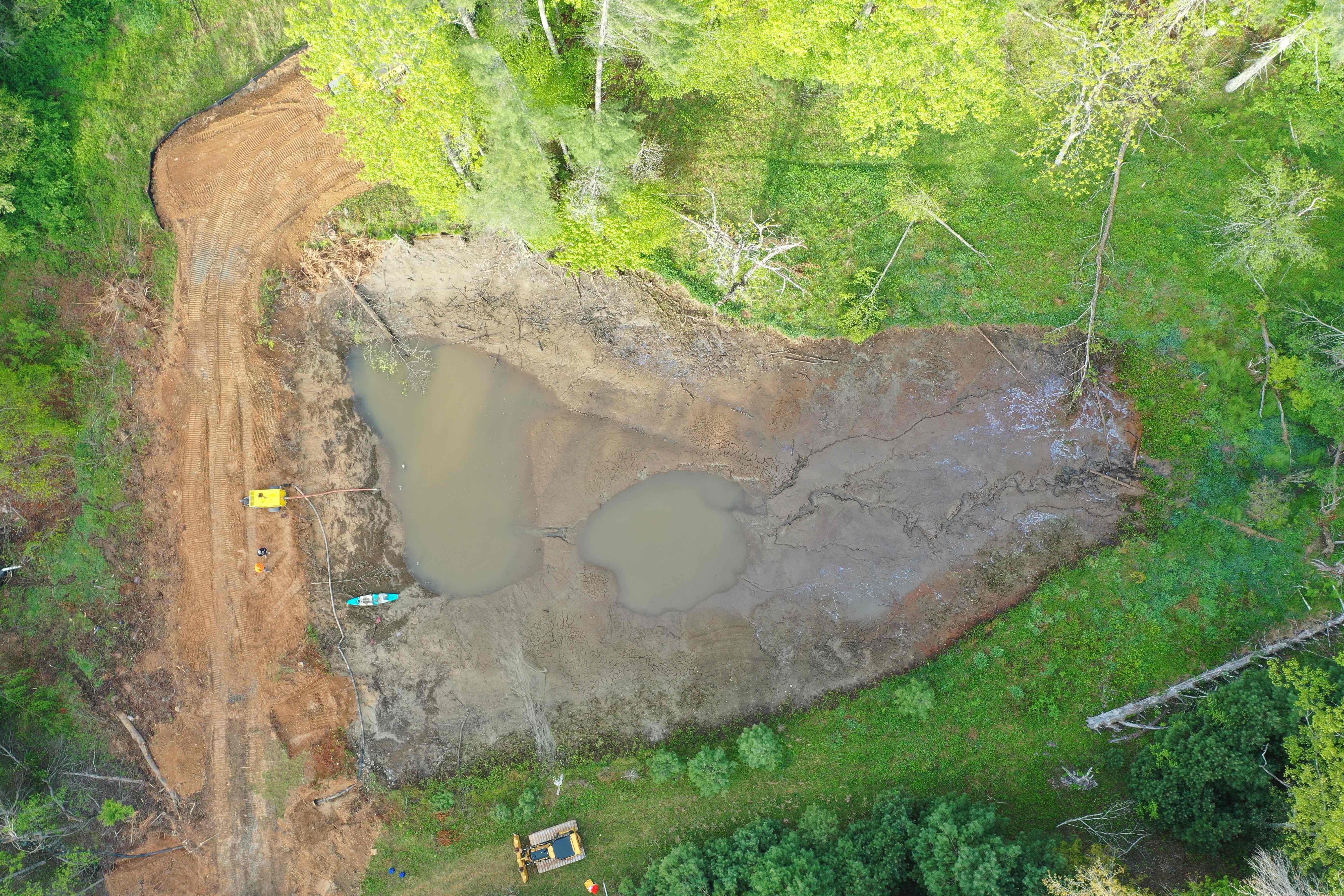
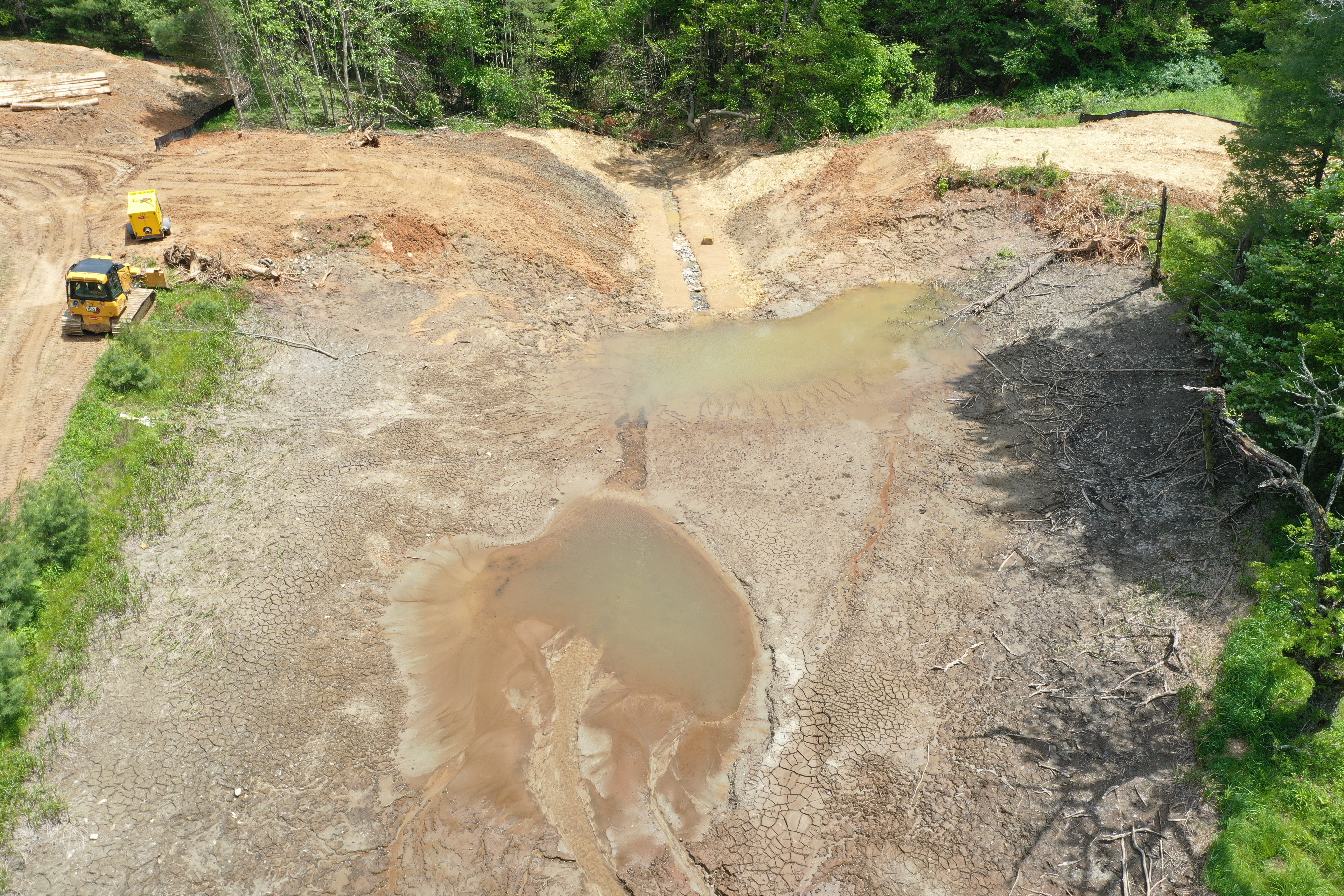
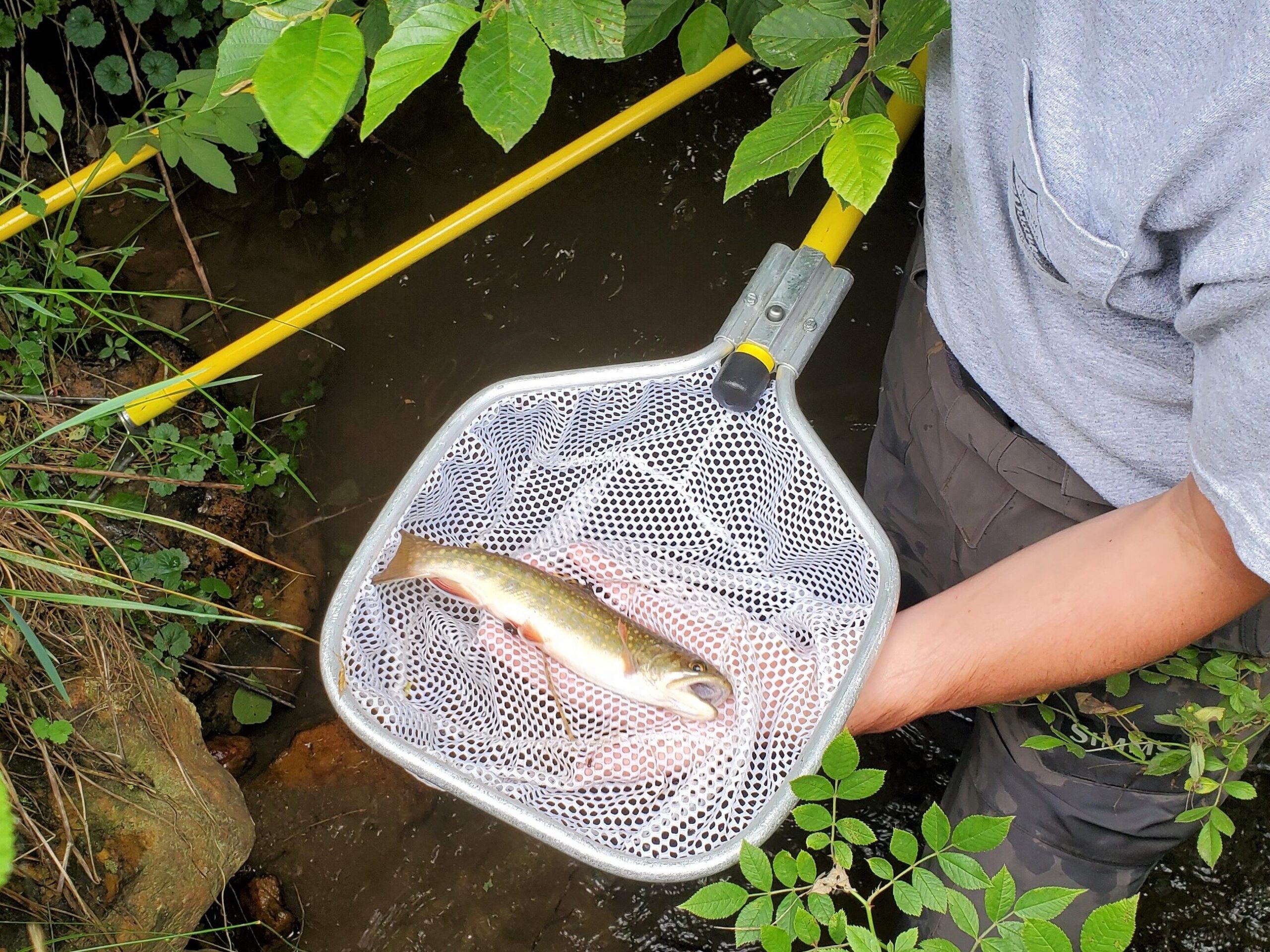
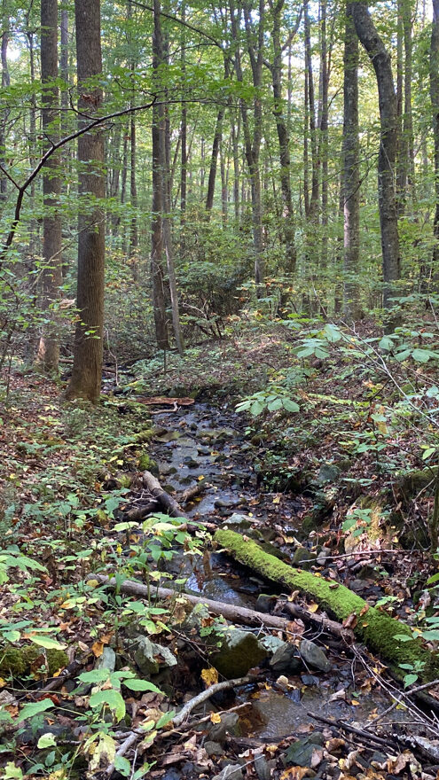
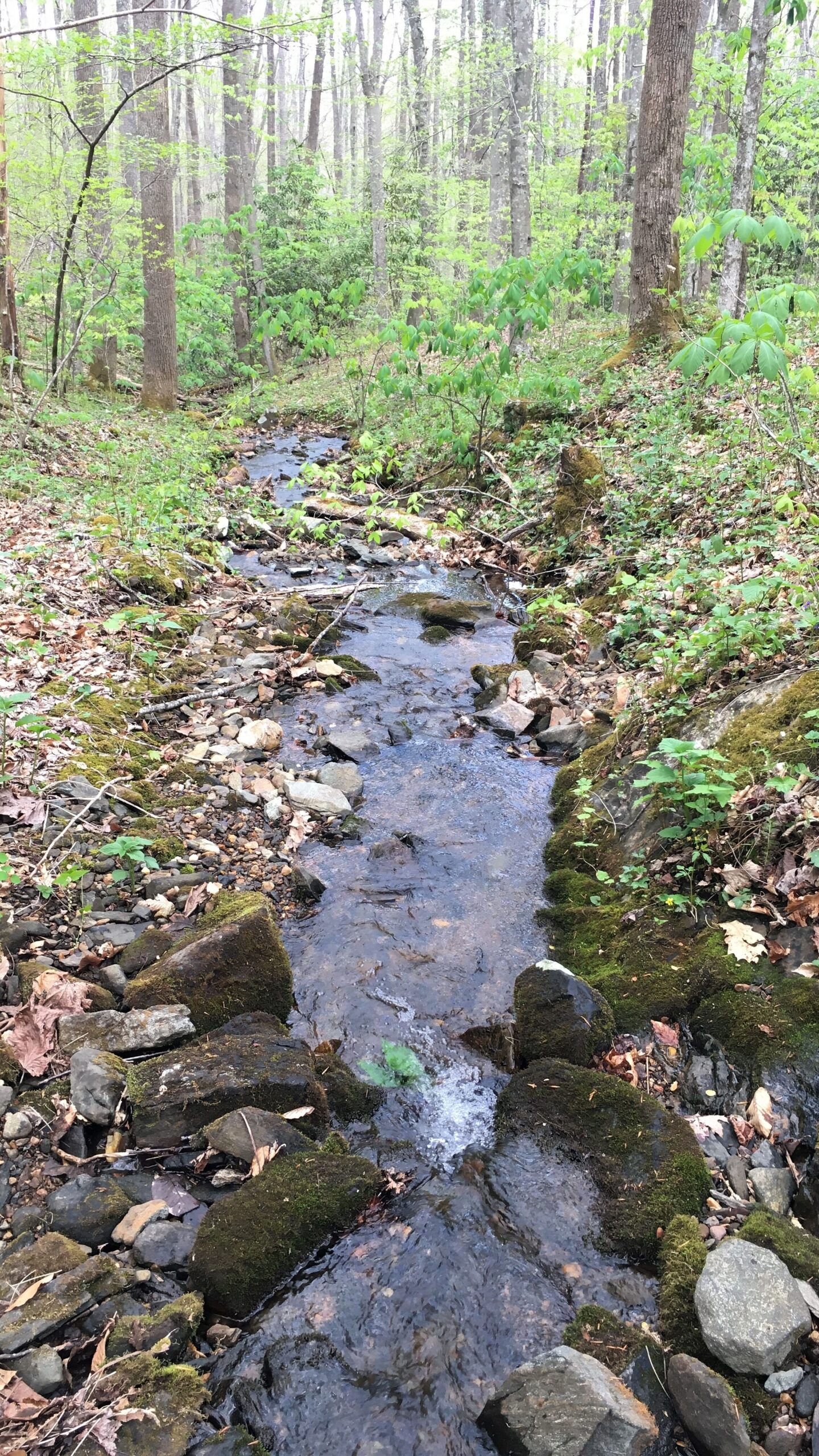
CTNC’s Cranberry Creek Preserve previously held a failing earthen dam that blocked an unnamed tributary of Cranberry Creek. Now that it’s removed, the stream flows freely for the first time in nearly 75 years, restoring natural hydrology to the area. This ecological enhancement to the flowing channel of the stream will support brook trout and many other native species.
Brooktrout,Salvelinus fontinalis, are the only native species of trout in North Carolina. Found primarily in the high elevations of the Blue Ridge and Smoky Mountains, these fish prefer pristine, cold streams with rocky bottoms and dense overhanging vegetation. Often referred to as “speckled trout” by locals, brook trout are known for their vibrant coloring and delicate size. Learn more about brook trout.
Brook trout caught by a fisheries biologist directly below the dam prior to its removal. Soon, these fish will be able to migrate further upstream and enjoy cooler, cleaner water.
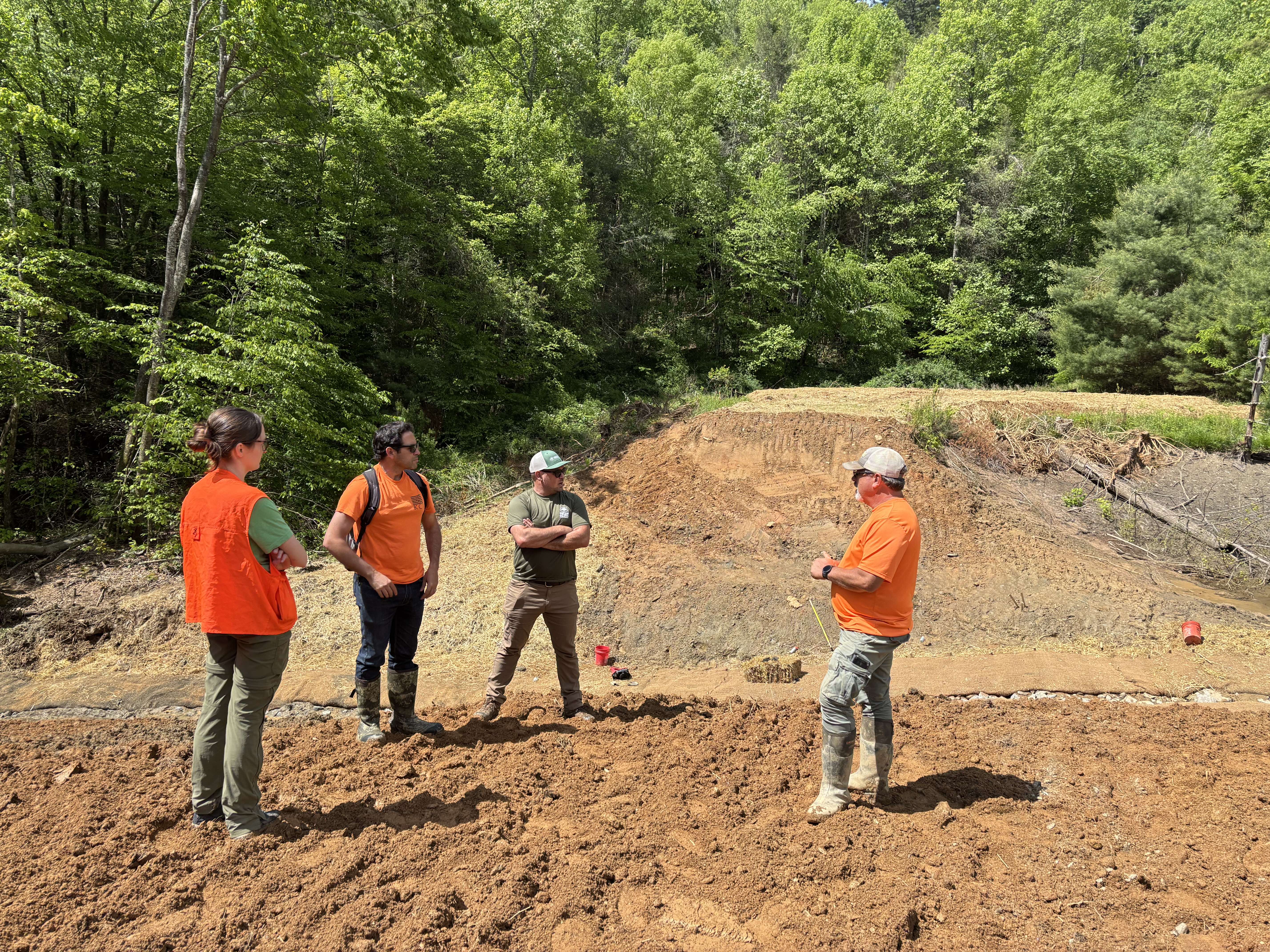
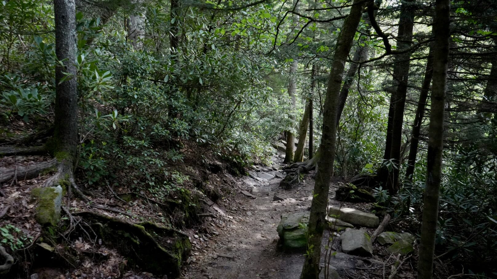
CTNC is also partnering with Friends of the Mountains-to-Sea Trail to prepare Cranberry Creek Preserve to host a re-route of a key section of the Mountains-to-Sea Trail . Currently, this popular hiking route crosses the Parkway motor road twice along this stretch, hugging the edge of the road in some places. The planned re-route will eliminate the need for those road crossings and take hikers off the shoulder and into the peaceful woodlands of Cranberry Creek Preserve—offering a safer and more immersive experience in nature.
CTNC plans to transfer ownership of the preserve to the National Park Service, ensuring its permanent protection as part of the Blue Ridge Parkway. This transition not only safeguards the land for generations to come but also opens it to enhanced recreational use and ecological restoration.
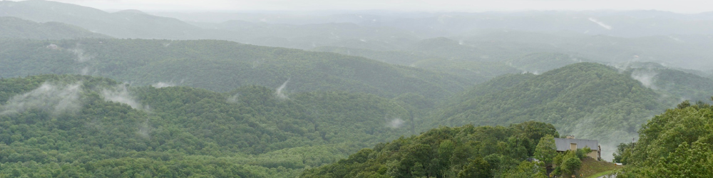
Heavy rains and wind couldn’t dampen the festivities at this year’s Conservation Celebration
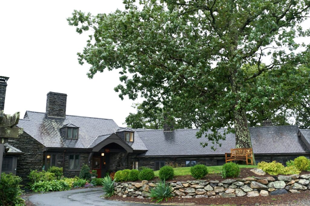
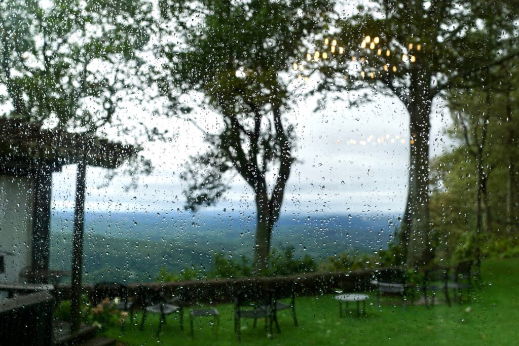
This year’s Conservation Celebration was incredibly fulfilling thanks to our remarkable supporters, board members, and staff. The event took place at the picturesque Gideon Ridge Inn in Blowing Rock, NC, bringing in more than $55k in donations that will support CTNC’s mission and ongoing projects to protect North Carolina’s natural lands for future generations. With forty-five event sponsorships representing nearly ninety supporters, we are immensely grateful for their generosity that ensures our work can continue.
The turnout was especially gratifying due to extreme weather conditions caused by tropical storm Debby. Even with the heavy rain, the Blue Ridge Mountains still created a perfect backdrop for the event.
Special thanks to our hosts
Cobb and Cindy Milner, owners of Gideon Ridge Inn, generously donated delicious hors d’oeuvres and beverages, staff time, and the use of their inn for this year’s fundraiser. As always, they were incredible hosts, and we appreciate their time and effort to make this event memorable.
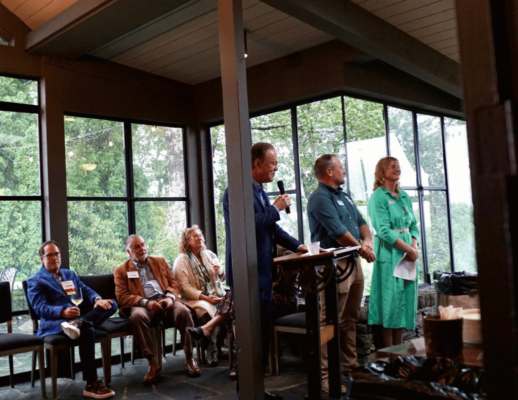
CTNC’s Board President, Bill Leslie, Executive Director, Cynthia Satterfield, and Western Conservation Manager, Aaron Flannery, each shared an update on CTNC’s current projects, recent successes, and how the funds raised during the event and throughout the year will continue to advance conservation across our state. Together with our entire community of supporters, we are building a more resilient North Carolina.
Thank you for your support to everyone who joined us, and we hope to see even more of our supporters next year! To our generous sponsors, thank you, we couldn’t do this work without your support.
2024 Conservation Celebration Sponsors
Lead Sponsors
Chip Anderson
Faye & John Cooper
Carole & Rick Marcotte
Cobb & Cindy Milner
Susan & Tom Ross
Thomas R. Statnick
John & Ashley Wilson
Patron Sponsors
Anna Neal Blanchard
Jo Scott Dorsett & Stuart Dorsett
Kelley Russell
Kathy Hamilton Stamper & Lucian Stamper
Julia Truelove
Joe & Tina Vrabel
Host Sponsors
Lee Carter & Greg Bradley
Alex & Anne Bernhardt
George & Johanna Edens
Dodd Haynes & Clara Martinez Haynes
Bill & Cindy Leslie
Ray Owens & Sally Higgins
Alton Perry
Megg & Robert Rader
Charlie & Deatra Sellers
Craig Weaver & Judy Baker
Jean & Walter Wilkinson
Supporter Sponsors
Glenn Astolfi
Judi & Kevin Beck
Marc Chabot & Cynthia Dillon
Dan Fitz & Mario Cescutti
Judy & Gary Gloster
Juliana Henderson
Drs. Elizabeth & Robert Iwaoka
Duane & Betti Kirkman
Mark Kirkpatrick & Debbie Arnold
Mozine Lowe
Sarah Manning
Margaret Newbold & Liz Watson
Cynthia “Suki” Payne
Ebony L. Perkins
Marc Rudow & Deborah Miles
John & Katherine Singleton
Mary & Donald Tucker
Aidan & Lisa Waite
Judy & Bill Watson
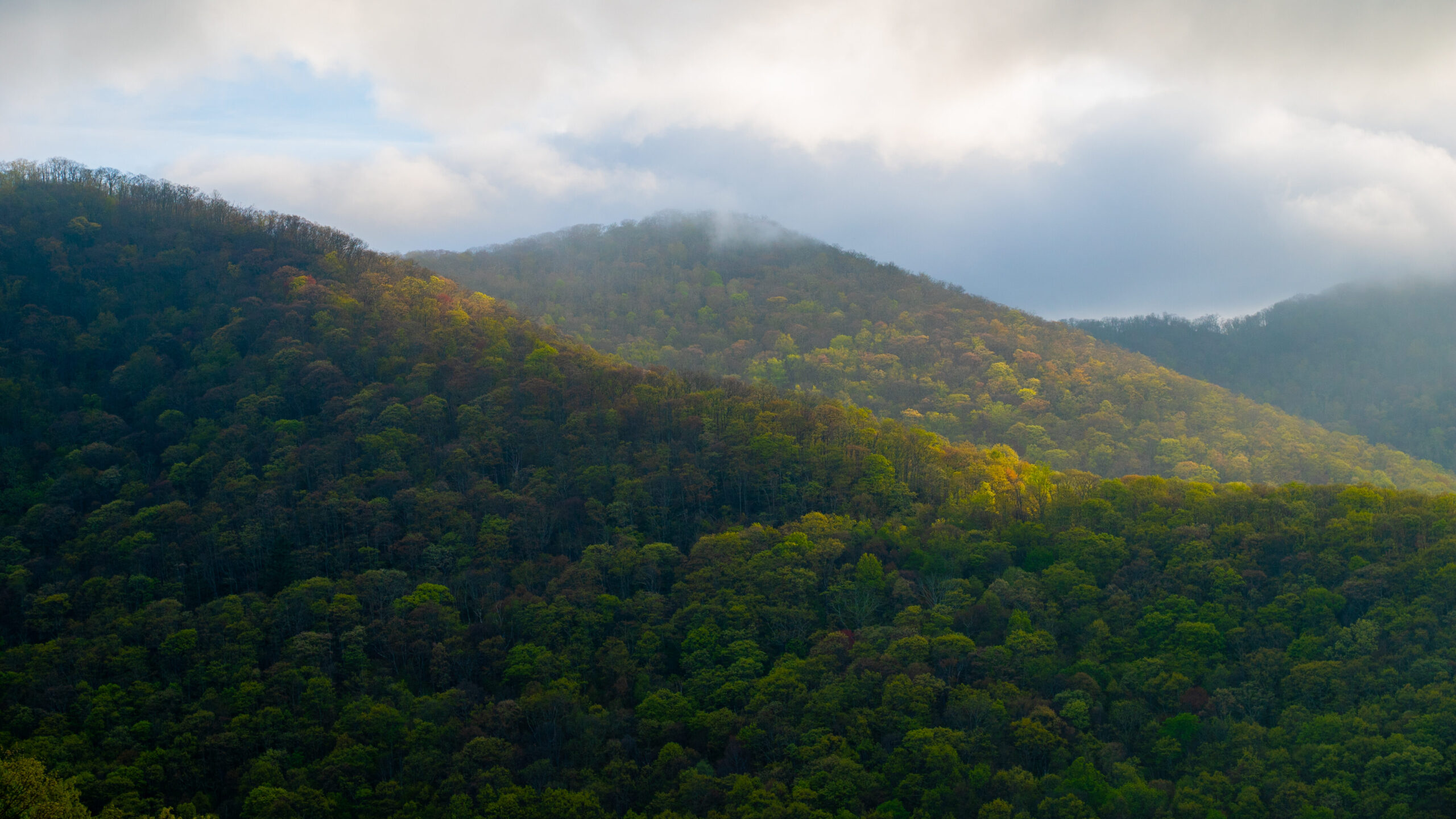
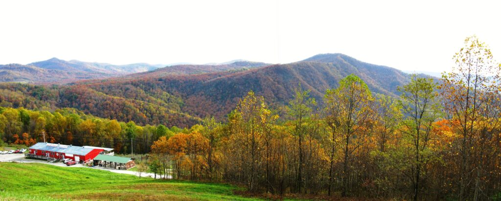
State Designated Natural Area Protected Along the Blue Ridge Parkway
Conservation Trust for North Carolina purchases 68-acre “Grassy Creek Springs” property for permanent protection.
In June, Conservation Trust for North Carolina purchased a unique 68-acre property including the majority of the “Grassy Creek Springs Natural Area,” recognized by the NC Natural Heritage Program for its ecological significance. The land adjoins the Blue Ridge Parkway at milepost 332 in southern Mitchell County and features natural springs and seeps, an abundance of spring wildflowers, and native forests that have been undisturbed for nearly a century. Positioned between Little Switzerland and the Museum of NC Minerals, the property protects views of mature forestland along a heavily traveled section of the Parkway.
“We are grateful to the landowners, our state funders, the Stanbacks, and to all of our donors and allies for helping us to secure this one-of-a-kind property,” stated Cynthia Satterfield, Executive Director of Conservation Trust for North Carolina. “We are also grateful for our long-standing partnership with the National Park Service and look forward to working with them to incorporate the Grassy Creek Springs property into the boundaries of the Blue Ridge Parkway in the near future.”
CTNC was fortunate to work with sellers who were committed to ensuring the property’s protection in an area popular for second-home development and destructive mining and timber operations. The landowners generously agreed to sell the property at below market price in a transaction referred to as a ‘bargain sale,’ reducing the funds CTNC needed to raise for the purchase. Public funding was secured from the NC Land and Water Fund and the NC Environmental Enhancement Grants Program. Private donations from Fred and Alice Stanback of Salisbury, NC, and many other individuals from across the state also helped make the purchase possible.
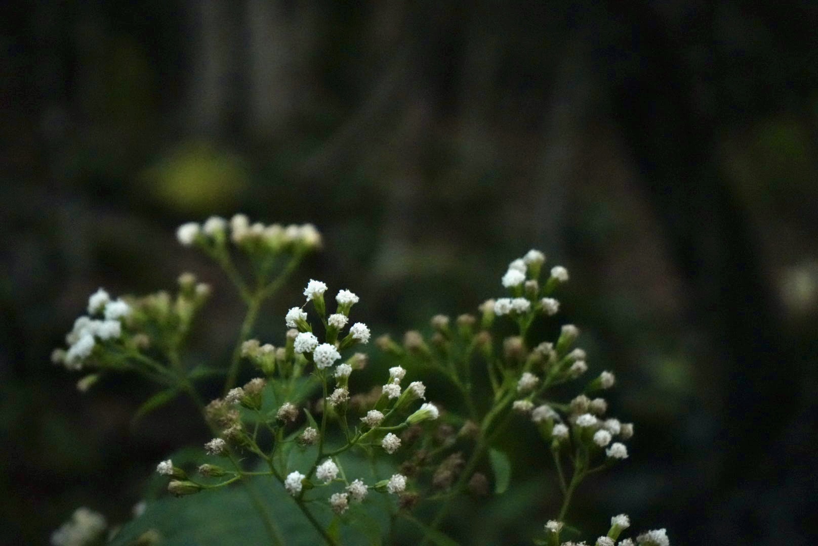
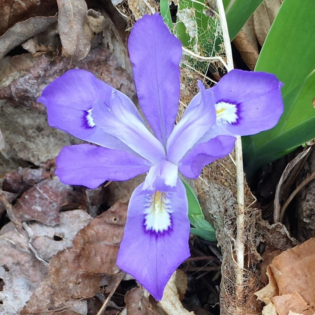
Wildflowers on property.
The purchase forever protects scenic views from the Parkway and nearby Mountains-to-Sea Trail, safeguards clean water, reduces the risk of flooding, provides a haven for plants and wildlife, and enables the forest to continue sequestering carbon from the atmosphere.
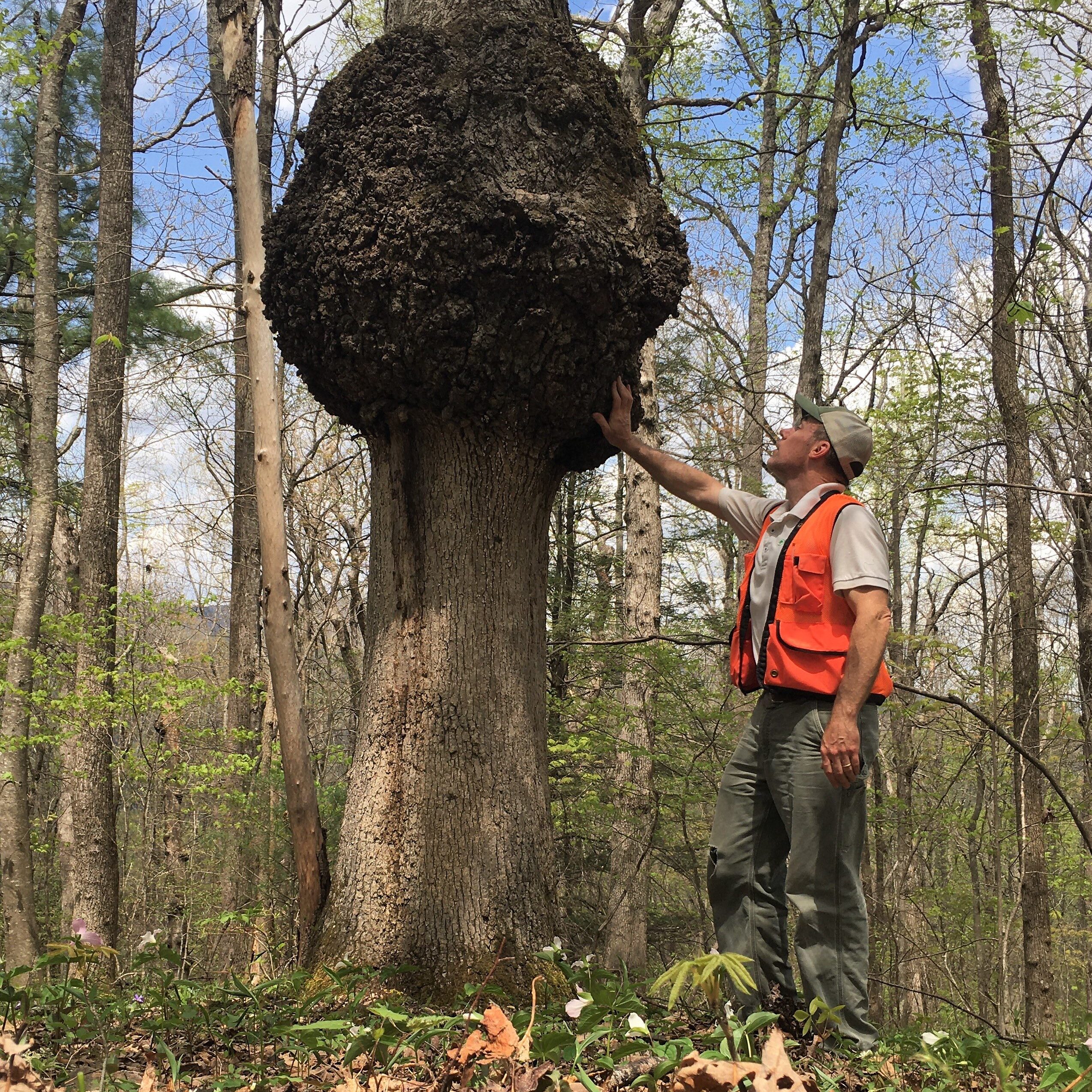
Aaron Flanney, Western Conservation Manager, noted a large gall on an oak tree while monitoring the Grassy Creek Springs property in 2023.
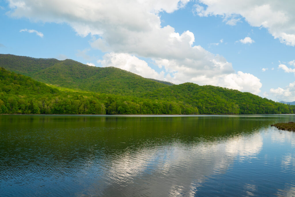
Rivers have molded the landscape of the entire state, with each river basin different from the other.
As an ecologically diverse state, with landscapes varying from the higher elevation of the western Blue Ridge mountains to the low-lying coastline in the east, within each region, one will experience differing average temperatures, manage different growing seasons for plants and agriculture, and enjoy a wide range of water bodies from lakes to streams, and small to large river networks.
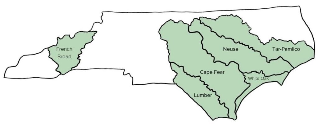
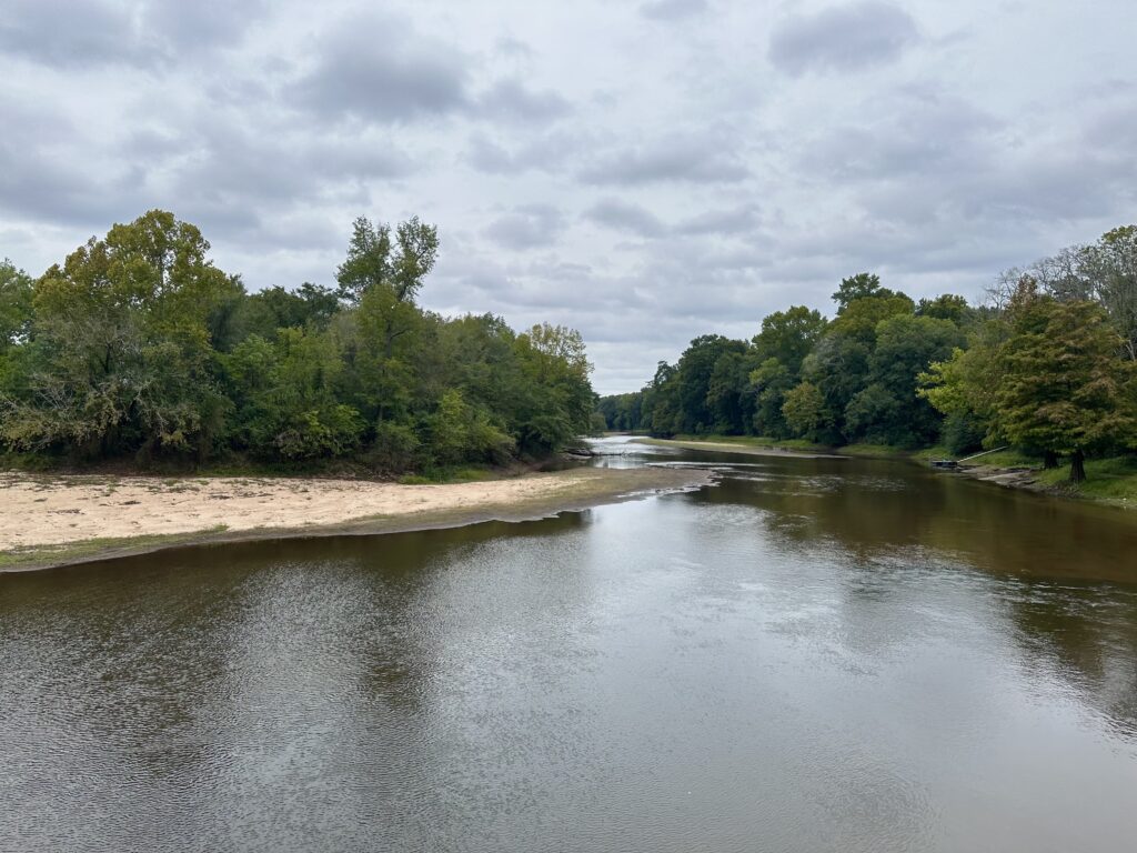
North Carolina is home to roughly 37,853 miles of rivers, plus thousands of tributaries or streams that flow into and feed one of its larger river systems. In total, there are 17 river basins in North Carolina. Because every community falls within one of these basins, every community in North Carolina is impacted by the vast destruction to livelihoods caused by flooding.
We must address flood resiliency from the perspective of a basin-wide approach when recommending conservation solutions to mitigate its effects.
Since each river basin is contrastingly unique, a one-size-fits-all approach is not applicable when designing strategies to mitigate flooding. The impacts look different by region, demonstrating why a basin-wide level approach is necessary to create manageable, coordinated intervention strategies to improve the flood risk for all communities in North Carolina.
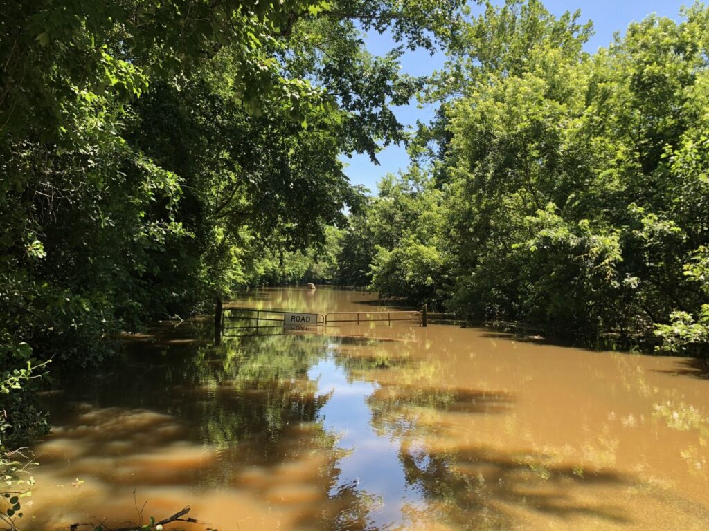
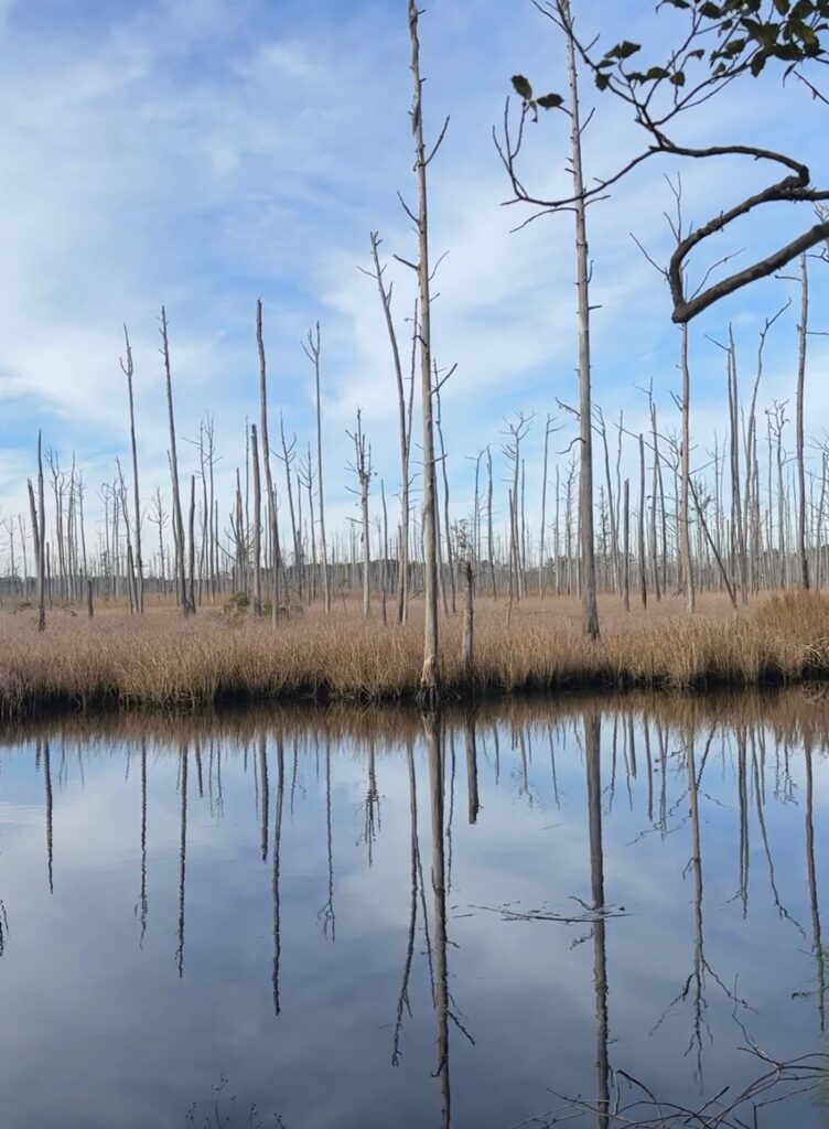
Flooding impacts from the Tar River in Princeville, NC
Understanding River Basins
A river basin encompasses the area of land drained by a river and its tributaries. Each basin serves as a natural watershed, starting with the rainwater and flow of a central river system that shapes the landscape and ecosystems as the water moves through. River basins influence many concepts of the surrounding area, including local agriculture, urban planning and infrastructure, drinking water, wildlife habitat and diversity and the local economy. Each river basin in North Carolina has its own movement of water from the headwaters to an outfall into the ocean, an estuary, or another river.
With the 17 river basins in North Carolina, each holds a unique ecological and topographical footprint in response to rainfall events that occurred upstream. Starting with rainfall, water accumulates into a basin that flows into subsequent bodies of water through a stream, river, tributary, groundwater, etc. As water accumulates and moves downstream, the river basin acts as a bathtub, collecting all contents and diverting where necessary.
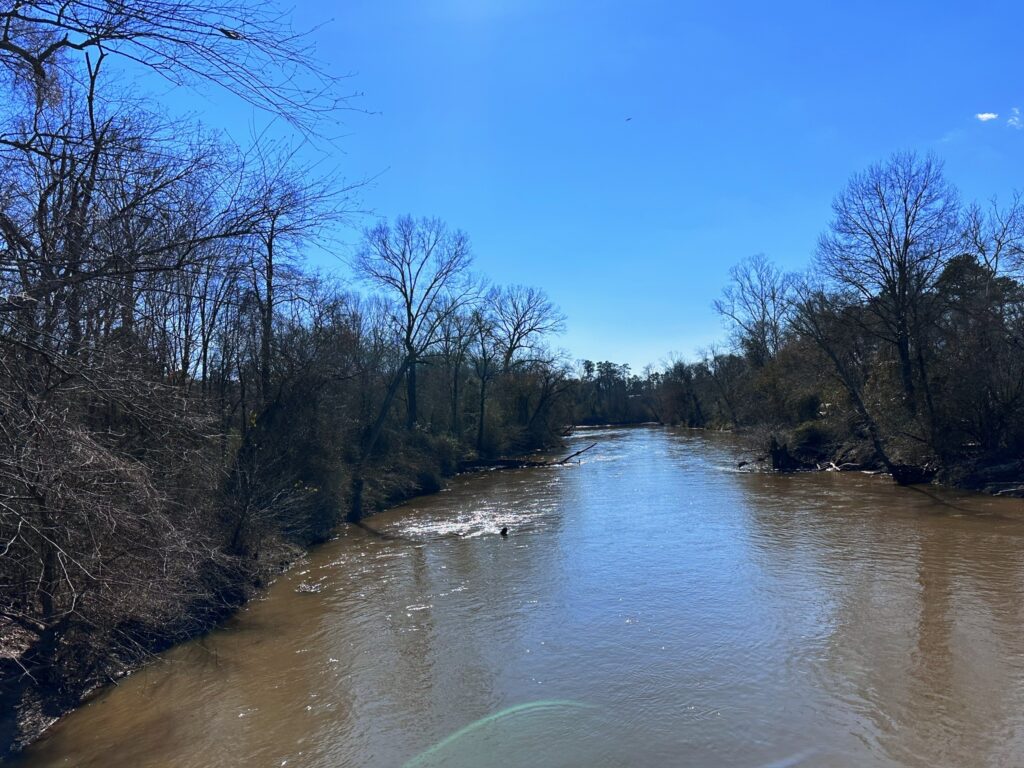
With more severe climate-change caused weather events, an influx of water to a river basin will cascade into surrounding areas, causing floods.
The North Carolina Flood Resiliency Blueprint will serve as an online decision-support tool for policymakers, stakeholders and all North Carolinians with the knowledge required to make flood management decisions. The initiative was launched by the NC General Assembly and NC Department of Environmental Quality in collaboration with local and state agencies from across the state. In this process, having stakeholders present from various river basins is crucial to creating a tool that serves all communities and residents of the state.
As a starting point for proposed flood mitigation action, the Blueprint process will develop basin-wide action strategies for six target river basins: French Broad, Tar-Pamlico, Cape Fear, Neuse, Lumber and White Oak River Basins.
CTNC’s Western Conservation Manager, Aaron Flannery, highlights the importance of preserving land to enhance community resilience. “Protecting land in western North Carolina is crucial to the health of NC’s river basins that are fed from waters along the Parkway. Ensuring that the land along the Blue Ridge Parkway is preserved impacts everything that occurs downstream, including water quality, economic development, local and state parks, community resilience and the wildlife that calls the ecosystems of NC home.”
Serving as the third largest river basin in North Carolina, protecting the land along the Neuse River Basin is critically important to the cities within the basin by providing drinking water in nine dedicated reservoirs – Falls Lake, Lake Michie, Little River Reservoir, Lake Holt, Lake Orange, New Hillsborough Lake, Corporation Lake, Lake Ben Johnson and Lake Rogers. The basin also holds wetland forests that divert water from flooding nearby communities and captures runoff and rainfall to prevent impacts to downstream communities. For 12 years, CTNC partnered with the City of Raleigh to administer a watershed protection program, The Upper Neuse Clean Water Initiative, designed to raise funds to help land trusts protect land upstream of a rapidly growing region and critically important source of drinking water for the Triangle region.
Protecting these bodies of water is crucial to the flow of water from the mountains to the sea. With the tool created in the Flood Resiliency Blueprint, members of each river basin’s communities can expect to gain a deeper understanding of their floodplain, the history of flooding in that region and the best strategies to combat the impacts of flooding specific to that area.
Collaboration from all regions of the state is important to ensure that all communities are represented and heard when creating tools like the Flood Resiliency Blueprint. The decisions made upstream in the Western part of the state will impact communities downstream throughout NC. To address the increasing threat of climate-change caused events, like flooding, community and county boundaries will be crossed to foster collaboration in creating effective solutions. CTNC’s relationships with local government organizations, statewide conservation partners and landowners will be prioritized to ensure a holistic approach to flood mitigation strategies occurs in communities across every river basin in North Carolina.
Through the Mountain Revolving Loan Fund, CTNC allocates small grants to preserve critical areas of land protected and stewarded by our land trust partners.
Through the Mountain Revolving Loan Fund (MRLF), CTNC works with land trusts to conserve land in Western North Carolina. In addition to providing critical bridge loans to eligible land trusts, CTNC’s MRLF provides small grants to fill funding gaps that enable completion of projects that preserve the ecosystems and cultural sites along the Blue Ridge Mountains.
The CTNC Mountain Revolving Loan Fund has two significant benefits for our partners:
It provides crucial bridge financing with minimal interest to land trusts in Western North Carolina to purchase conservation land and easements. As loans are repaid, the money becomes available to re-lend.
A percentage of the balance of the loan fund is given out each year in grant awards. Grants of up to $25,000 are not required to be paid back. CTNC’s grants help cover transaction-related costs, land management, project administration, and long-term stewardship; often the most difficult project funding to raise.
This year, CTNC awarded grants to four land trusts totaling over $90,500. We’re proud to support the costs associated with ensuring that 516 acres of land will be protected in perpetuity. We look forward to more opportunities to work in partnership with key stakeholders to protect and steward this living legacy.
The land trusts that were awarded grant funds by CTNC during the current cycle include:
Blue Ridge Land Conservancy
Conserving Carolina
Highlands-Cashier Land Trust
Mainspring Conservation Trust
The eight properties that will be protected by our partner land trusts offer ecological, agricultural, recreational, and cultural-historic benefits to communities of Western NC.
Along with the conservation values of these properties, each contains crucial ecological and agriculture benefits to the local landscape and communities of Western NC.
CTNC’s support of statewide conservation initiatives is made possible through generous donations from CTNC supporters. Your generous support enables us to carry out our mission to foster community resilience in Western NC and throughout our amazing state.
CTNC is proud to welcome Cynthia Satterfield as the new Executive Director of our organization.
Cynthia joins us with a strong background in community-driven conservation. Her dozen years at the Tar River Land Conservancy as the Director of Development and at the Eno River Association as Director of Development and Outreach ground her in the land conservation work central to CTNC. Her most recent role as State Director of the North Carolina Chapter of the Sierra Club expands her strategic leadership skills. Cynthia holds an English and Anthropology Bachelor’s Degree, Master of Business Administration, Certificate in Non-Profit Management and Equity Training.
Cynthia’s personal commitment to CTNC’s values of collaboration, boldness, inclusiveness, compassion, authenticity, openness, and curiosity inspired confidence in the CTNC Board.
“Cynthia’s personal commitment to CTNC’s values of collaboration, boldness, inclusiveness, compassion, authenticity, openness, and curiosity inspired confidence in the CTNC Board”, said CTNC Board President Brandon A. Robinson. “We are fully confident that the wealth of experience Cynthia brings will lead CTNC to new growth and new opportunity, making it possible to fulfill our mission of building resilient, just communities by delivering conservation solutions across the state.”
Cynthia will join CTNC officially on December 11th as Chris embarks on his retirement journey. We are excited to begin this new chapter as an organization and enter the new year as a strong-knit group of staff, board members, donors and supporters.
This website uses cookies to improve your experience. We'll assume you're ok with this, but you can opt-out if you wish. Cookie settingsACCEPT
Privacy & Cookies Policy
Privacy Overview
This website uses cookies to improve your experience while you navigate through the website. Out of these cookies, the cookies that are categorized as necessary are stored on your browser as they are as essential for the working of basic functionalities of the website. We also use third-party cookies that help us analyze and understand how you use this website. These cookies will be stored in your browser only with your consent. You also have the option to opt-out of these cookies. But opting out of some of these cookies may have an effect on your browsing experience.
Necessary cookies are absolutely essential for the website to function properly. This category only includes cookies that ensures basic functionalities and security features of the website. These cookies do not store any personal information.