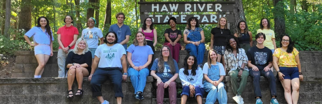
From Flood Resilience, Watershed Protection, Community Agriculture and More, ResilienceCorps NC Members are Contributing to the Resilience of Eastern NC
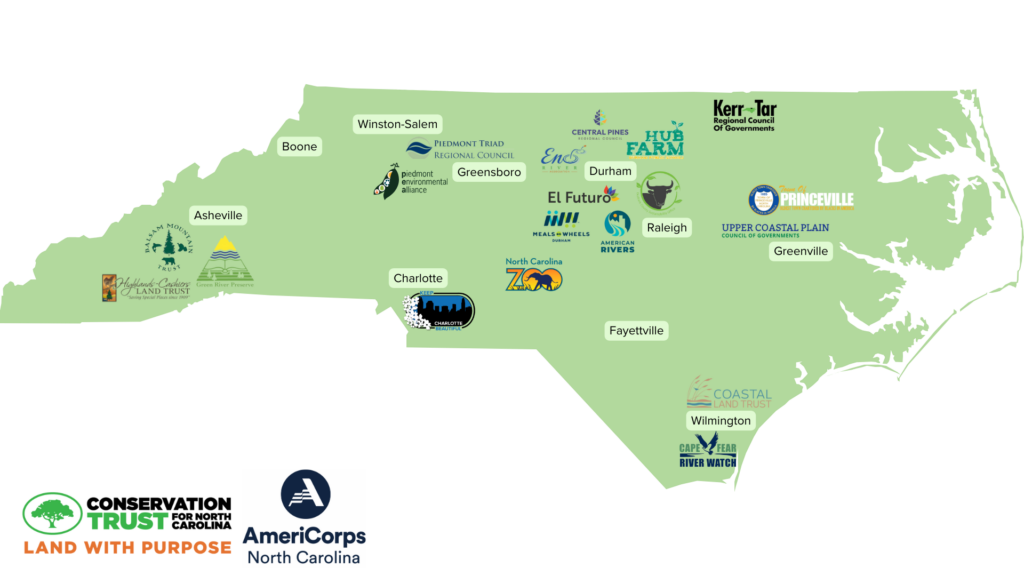
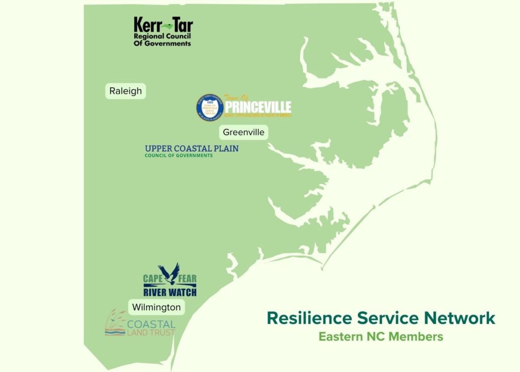
In Eastern North Carolina, six AmeriCorps service members are serving local communities. Each member is focusing on building community resilience through flood mitigation, coastal land preservation, volunteer coordination, tree planting and watering, community garden construction and implementation, and many other priorities that directly give back to their respective communities.
Through the CTNC’s Resilience Corps NC AmeriCorps program, building capacity is more attainable. The placement of members directly contributes to the current and future projects that nonprofits and local government/agency partners involved in the program hold to benefit North Carolina.
Highlighting AmeriCorps Member’s Service at a Community Level Throughout the Eastern Region of our Resilient State
Tykia Lewis: The Town of Princeville
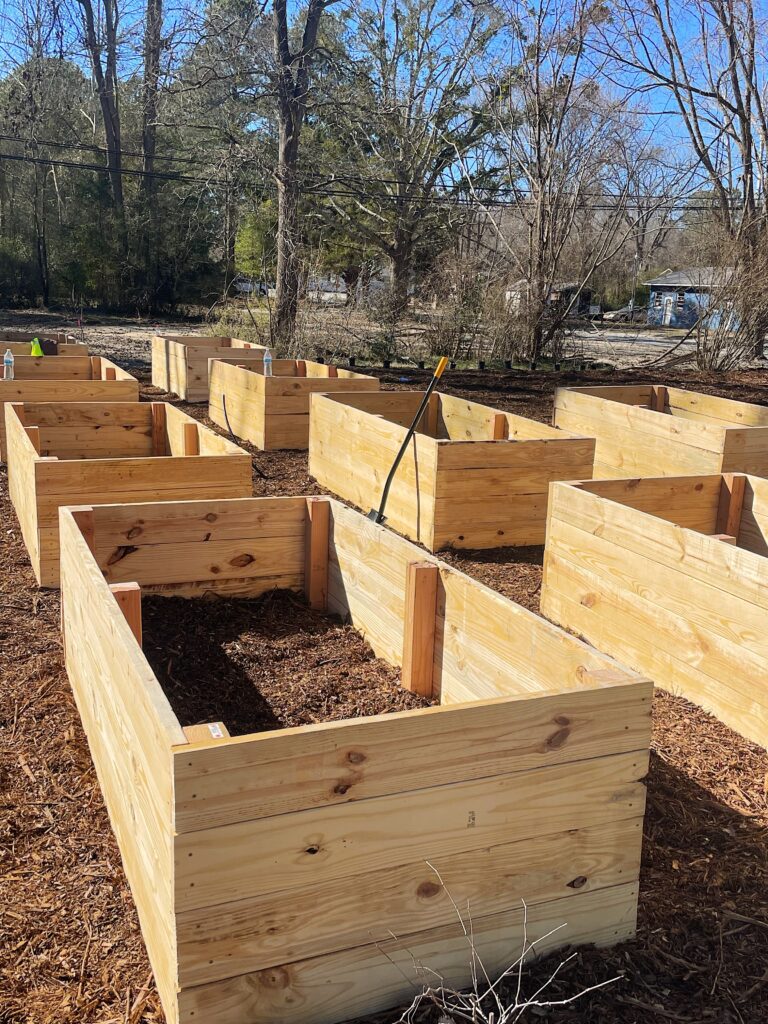
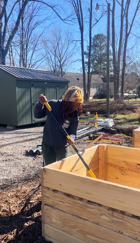
CTNC and the Town of Princeville have partnered to host an AmeriCorps member to focus on engaging residents on conservation and community agriculture. Over the past few months, Tykia Lewis has been dedicating most of her time to construction and cultivation of the new community garden in Princeville, NC. Her primary focus revolves around fostering community engagement and imparting knowledge about the significance of local agriculture and the medicinal properties of food.
After conducting a thorough needs assessment, Tykia organized community meetings to introduce the benefits of community gardening and to distribute fresh produce. The community demonstrated keen interest in the garden and the healing potential of food, actively participating in choosing a name for the garden. Her involvement in the garden’s design and construction has been immensely gratifying, as she values hands-on experiences and the opportunity to contribute to a cause larger than herself.
This community garden will impact the town and its residents for years to come, serving a key role in removing the barriers to food access that towns like Princeville experience.
John Sugg: Upper Coastal Plain Council of Governments
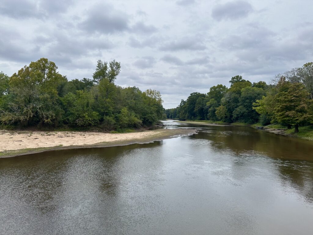
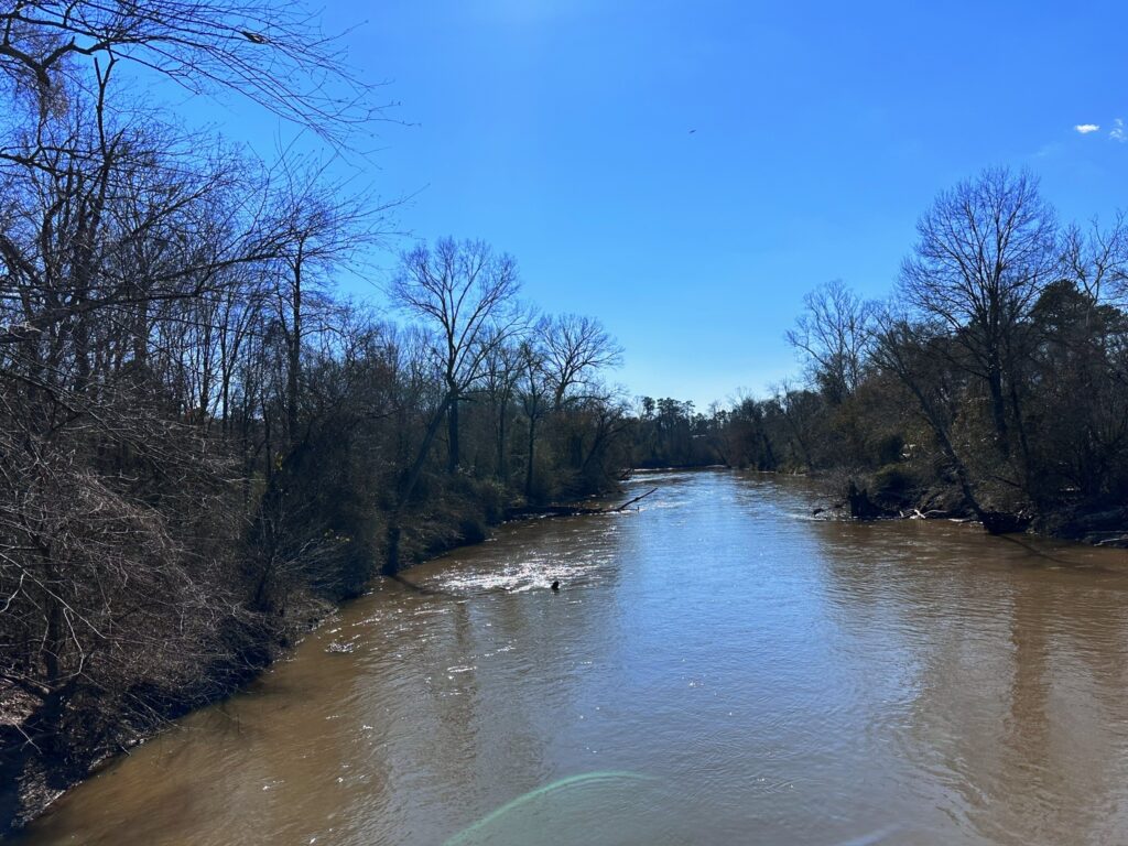
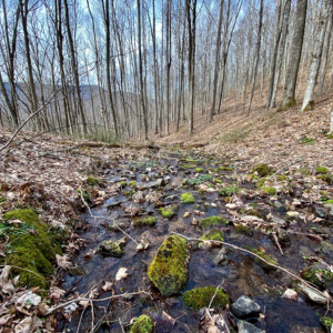
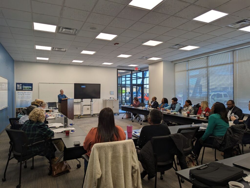
John Sugg is currently serving five counties served by the Upper Coastal Plain Council of Government (COG)—Edgecombe, Halifax, Nash, Northampton, and Wilson. Each of these counties faces various challenges from chronic flooding and stormwater issues. As part of John’s AmeriCorps service, he will assist the COG with completing flood solutions assessments of nine communities, so they’re better equipped to pursue mitigation and build resilience for possible future flooding events.
The Golden Leaf Flood Mitigation Grant presents opportunities for communities to address flood-related issues. John has already assisted two communities pursuing a Golden Leaf Flood Mitigation Grant, acknowledging the cumbersome documentation process for rural towns with limited resources and staff capacity.
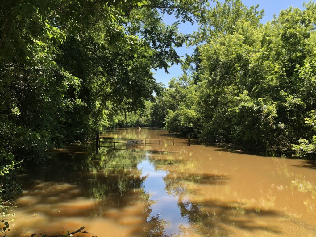
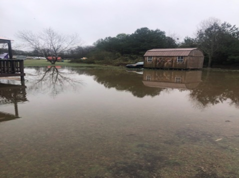
Currently, John is working with the community of Gaston to collect photos and data illustrating the impact of rainfall events in the area. Despite receiving only 1-2″ of rain, the area experiences prolonged water accumulation, rendering yards unusable and hazardous areas for days after the rain subsides. This persistent issue, not attributable to hurricanes or other extraordinary events, displays the urgent need for creating interventions to mitigate flooding risks and prevent further damage to communities.
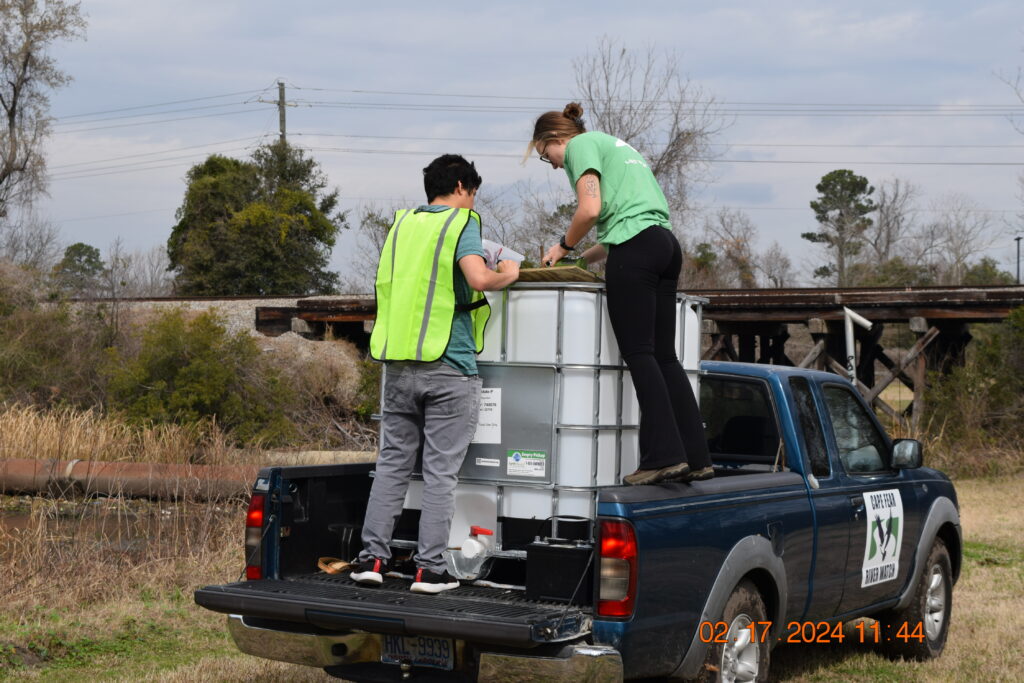
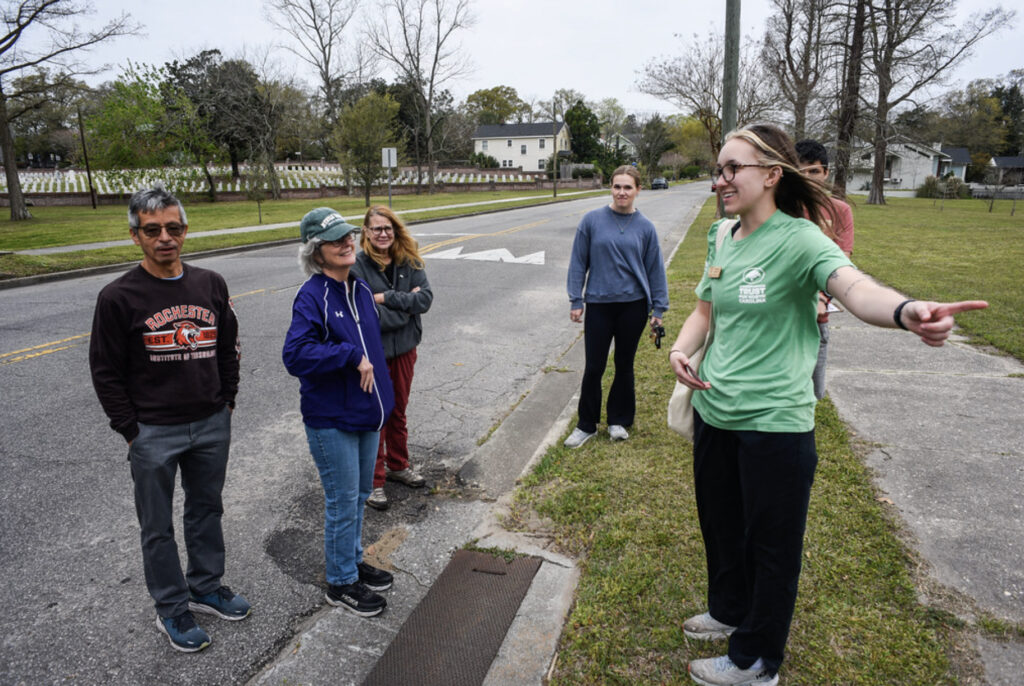
Hannah Nystrom: Cape Fear River Watch
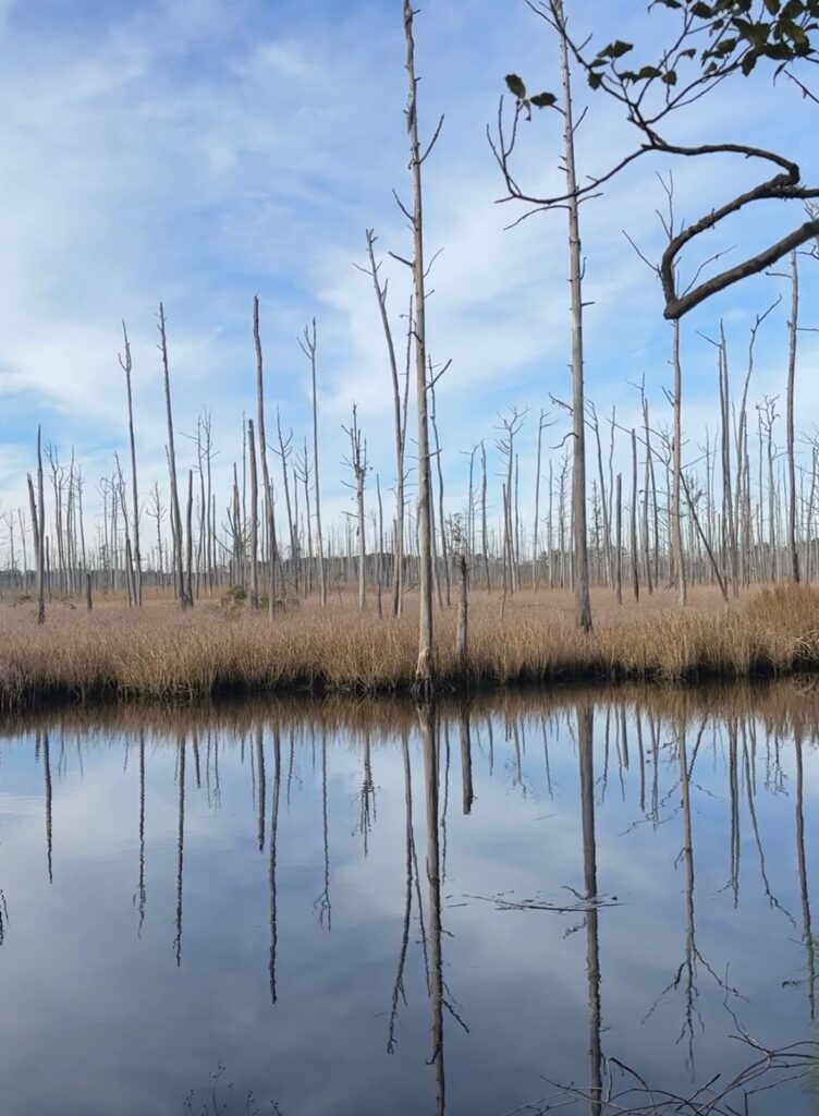
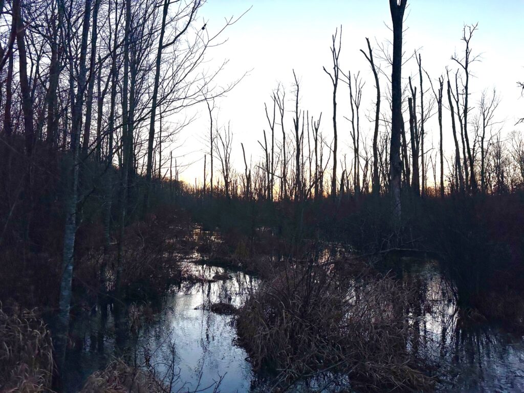
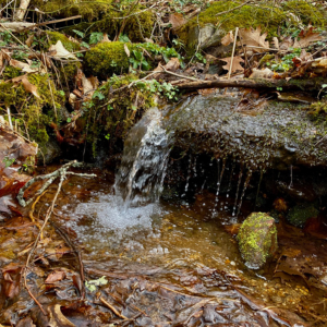
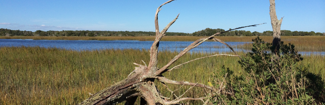
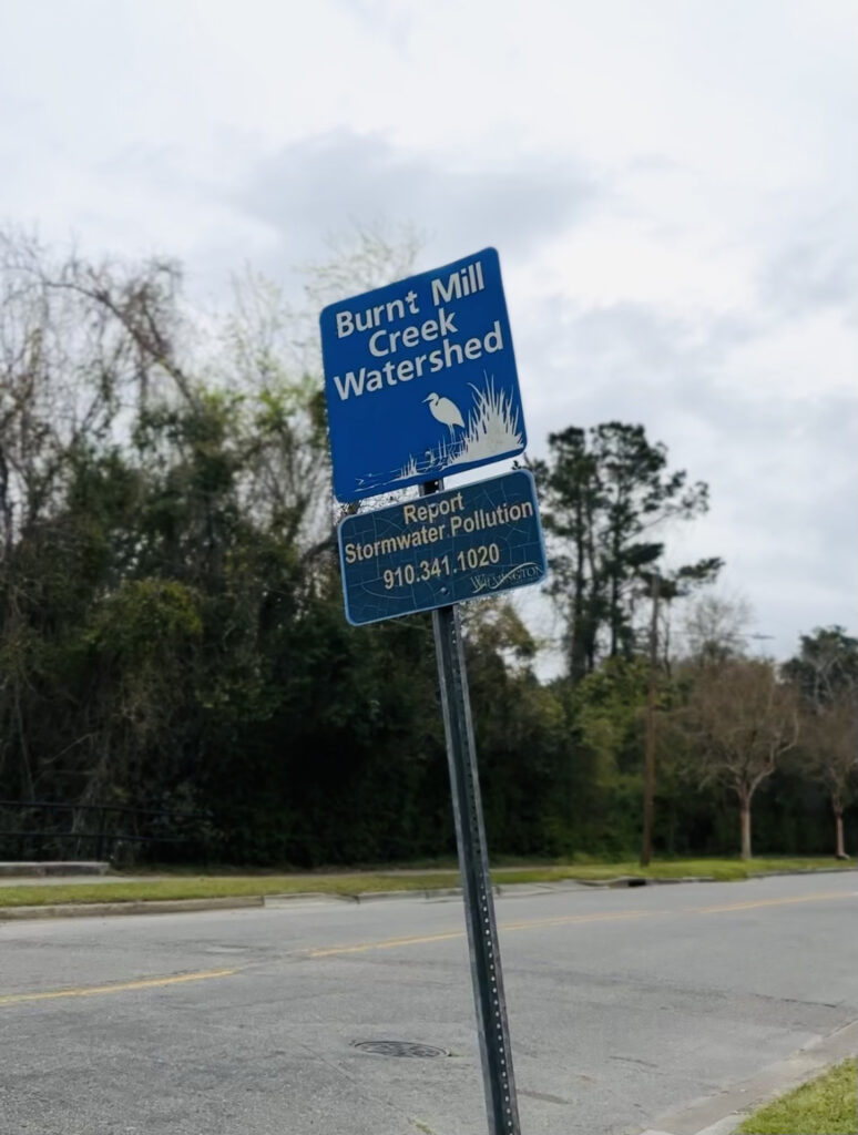
Hannah Nystrom, stationed at Cape Fear River Watch (CFRW), directs her efforts towards the Burnt Mill Creek watershed in Wilmington, a socially vulnerable and highly recreated area. Spanning approximately seven square miles in downtown Wilmington, the watershed deals with numerous water quality issues such as fecal bacteria contamination, invasive aquatic species, and low dissolved oxygen levels, leading to its inclusion in North Carolina’s 303(d) list for impaired waterbodies. With a population of vulnerable residents in this community, the protection of this watershed is crucial to their wellbeing and the resilience of Wilmington
The state attorney general’s office awarded CFRW a three-year Environmental Enhancement Grant (EEG) to fund a restoration project aimed at addressing these challenges. Hannah actively engages in the project to ensure project deliverables are completed. She coordinates tree plantings, installs litter mitigation devices in stormwater drains and creeks, and organizes ecotours within the Burnt Mill Creek watershed. One of her most rewarding experiences involves watering native trees planted by over 75 volunteers, an activity she conducts weekly with fellow volunteers, fostering a deep connection with the area she serves.
Protecting the Burnt Mill Creek Watershed and the surrounding areas allows for members of the community to have easily accessible and beautiful nature areas to fish, explore and recreate in. Preserving areas that foster wildlife and allow for the ecological factors of coastal NC to thrive allows for greater climate resilience.
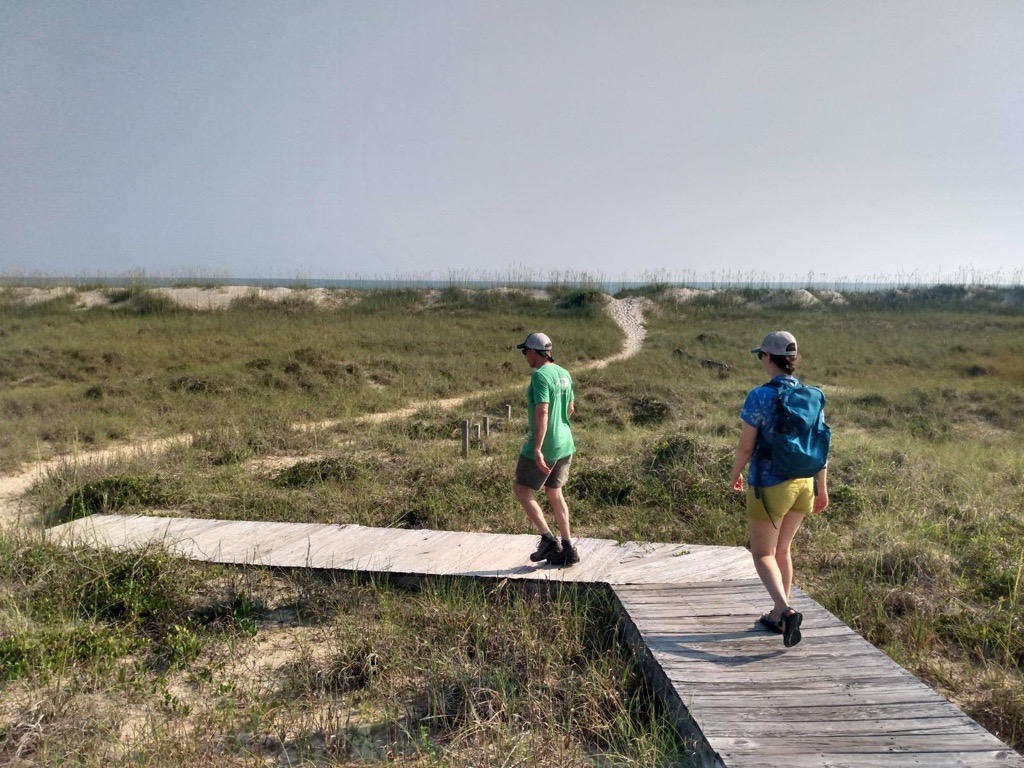
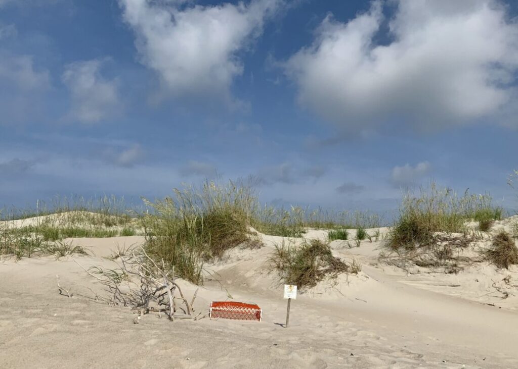
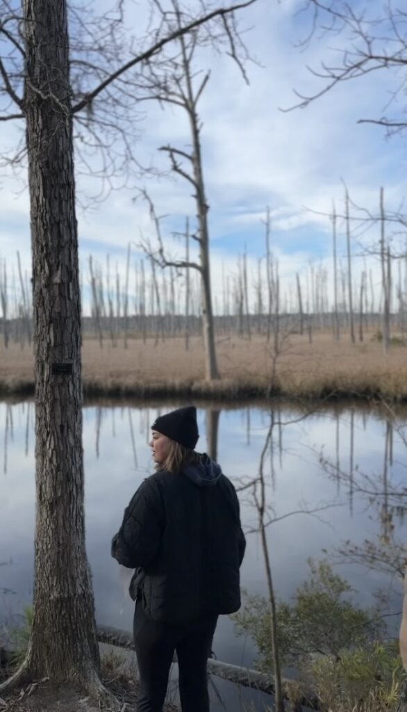
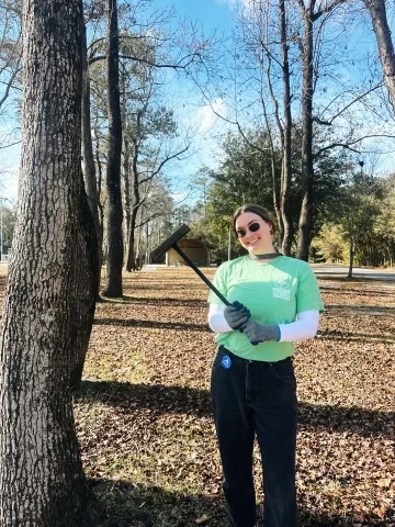
Lauren Waibel: North Carolina Coastal Land Trust
In her position at the Coastal Land Trust, Lauren Waibel assumes responsibility for general stewardship, community conservation projects, and overseeing the volunteer program. Recent months have been marked by intensive monitoring of preserves and properties, providing opportunities to observe diverse flora and fauna and leading trail maintenance activities across preserves.
One particularly significant project involves the restoration of Reaves Chapel A.M.E. Church, a historic landmark with deep cultural and historical roots in southeastern North Carolina’s African American community. Engaging with various organizations and individuals connected to the chapel has been inspiring for Lauren. She recently led a highly successful volunteer day, which saw significant participation, aimed at cleaning up the Reaves Chapel cemetery.
Lauren’s role has afforded her invaluable insights into the ecosystems, history, and community dynamics of Coastal North Carolina.
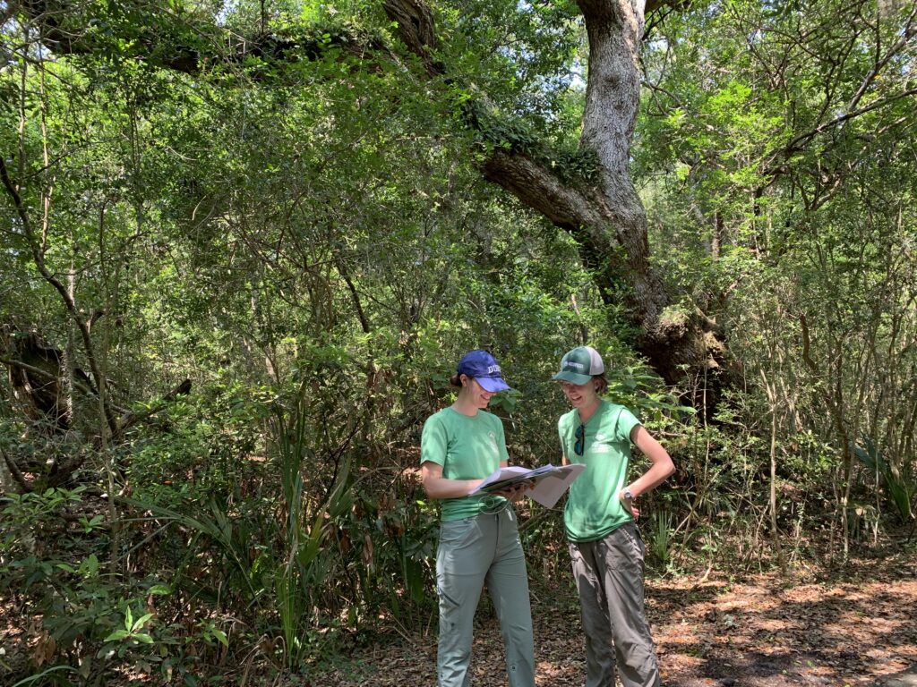
Jordan Pilcher: North Carolina Coastal Land Trust
In Jordan Pilcher’s role as the Environmental Education and Volunteer Coordinator at NC Coastal Land Trust (NCCLT), she has had the opportunity to lead and continue several projects, many of which were established and set into motion by the previous AmeriCorps member, and now full-time staff member, Bryce Tholen.
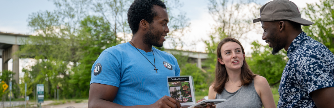
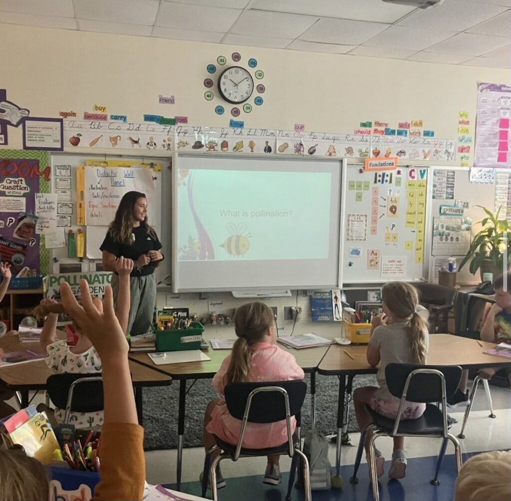
The environmental education program at NCCLT has grown tremendously and Jordan dove into teaching environmental programs across coastal North Carolina. She has been teaching the elementary students along the coast of NC using the curriculum on pollination and pollinators for 3rd graders, carnivorous plants for 4th graders, and longleaf pine ecosystems for 5th graders.
During the beginning of her term, she spent time editing and updating the curriculum and materials to ensure lessons are interesting and engaging. Jordan has also tabled at several environmental education and community outreach events, growing the Coastal Land Trust’s presence in the Wilmington community and connecting kids with the ecosystems surrounding them. Conducting outreach to the community and their youth is crucial to building long-term conservation stewards who will carry the responsibility of building Wilmington’s resilience for future generations.
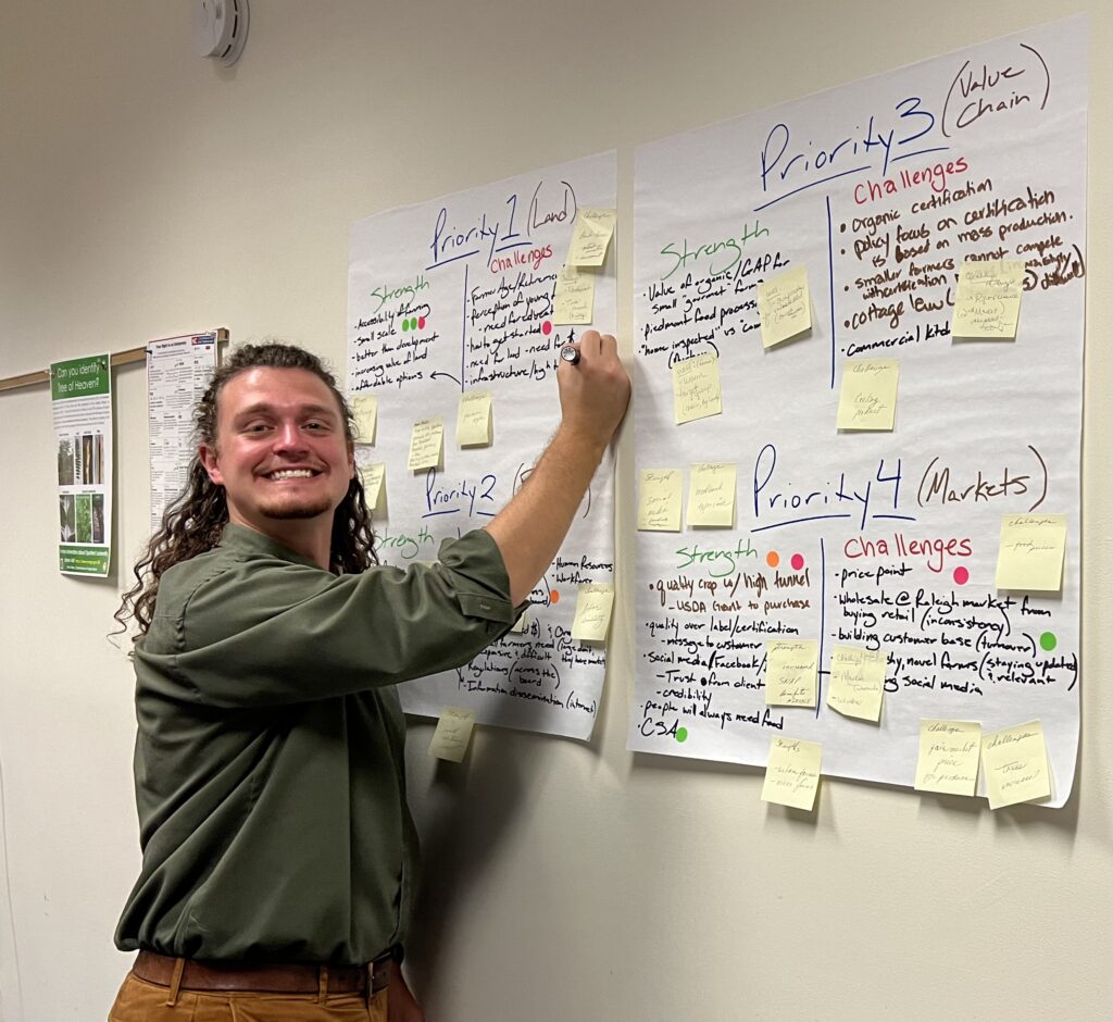
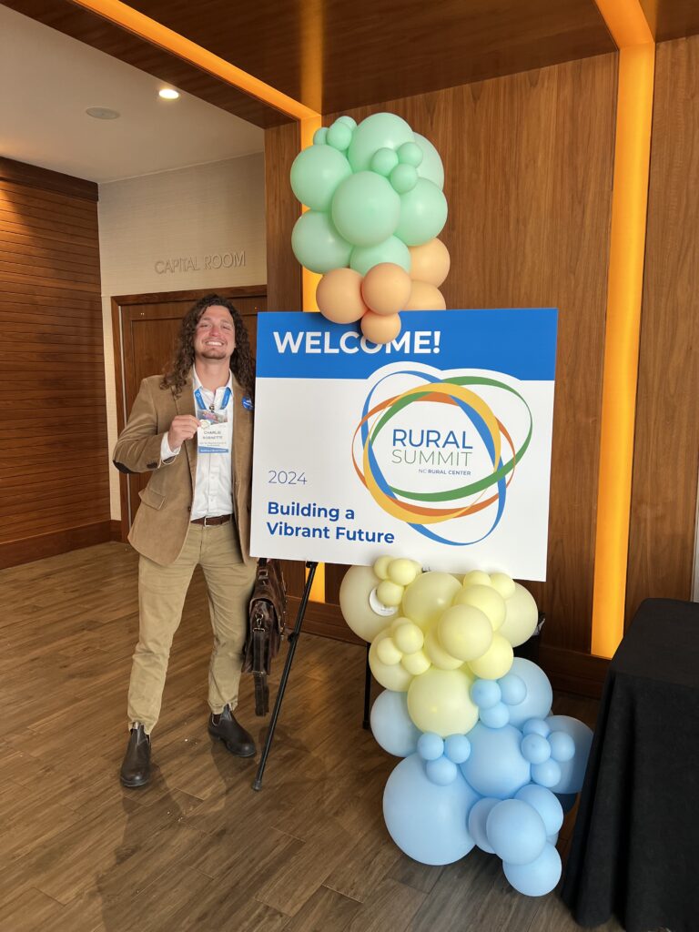
Charlie Robinette: Kerr-Tar Regional Council of Governments
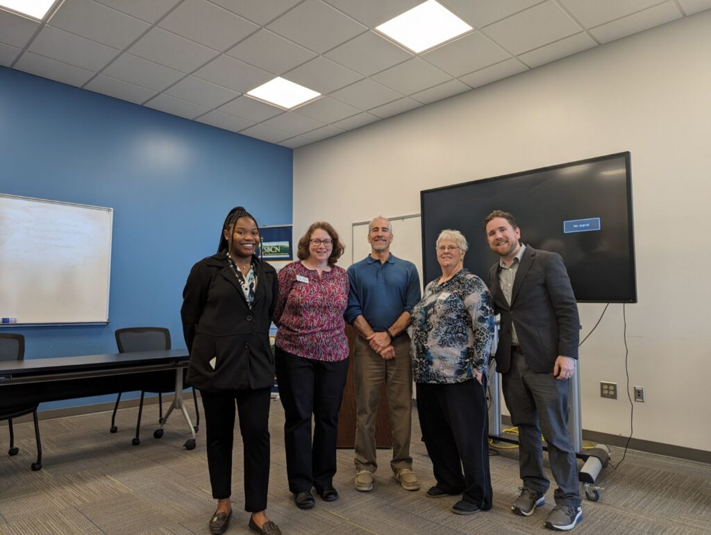
Charlie Robinette serves with the Kerr-Tar Regional Council of Governments (KTCOG) where he is dedicated to building connections across the five counties served by the organization. Engaging with various stakeholders in the food sector, ranging from Cooperative Extension and Economic Development to local pantries and non-profits, Charlie aims to understand the region’s dynamics firsthand. He gradually became involved in ongoing projects, such as the Eva Clayton Rural Food Institute’s Advisory Board and Tri-COG FEEDS, a collaborative effort spanning multiple counties and councils.
In 2020, KTCOG adopted a Regional Food Policy, laying the groundwork for establishing a Regional Food Council. With Charlie’s enhanced capacity, progress towards this goal has accelerated, with plans for the council’s inaugural meeting scheduled for May. Through “Framing Our Food System” conversations across the five counties, Charlie seeks to gather valuable perspectives informing the council’s work and future COG policies and programs. The enthusiasm expressed by community members for his initiatives pushes the potential for lasting impact beyond his tenure with AmeriCorps.
Charlie finds great satisfaction in food systems work, particularly in the communal aspect where every gathering ensures participants are well-fed, symbolizing the importance of inclusivity and collaboration in building a sustainable future.
The Future of Resilience in Eastern North Carolina
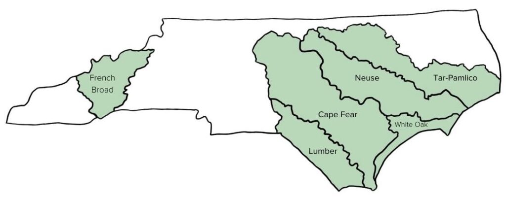
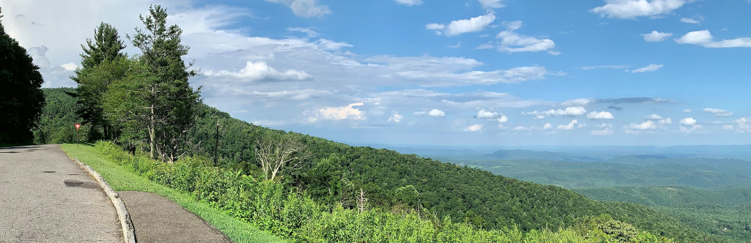
Eastern North Carolina is an ecologically diverse region of the state that requires an investment in capacity to combat food insecurity, explore and implement flood mitigation strategies, and continue to preserve coastal land for future generations to enjoy. Between CTNC and our community partners, AmeriCorps members can achieve tangible progress toward achieving goals that build resilience for North Carolina.