RALEIGH, N.C. — Land for Tomorrow thanks the North Carolina General Assembly for making a strong investment in the Agricultural Development and Farmland Preservation Trust Fund through the 2026 state budget while maintaining stable funding for the N.C. Land and Water Fund and the Parks and Recreation Trust Fund.
The budget strengthens North Carolina’s long-standing commitment to conservation by investing in three proven programs that deliver lasting benefits to communities across the state.
Agricultural Development and Farmland Preservation Trust Fund
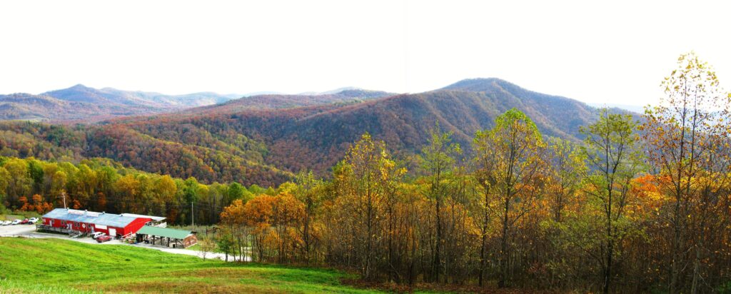
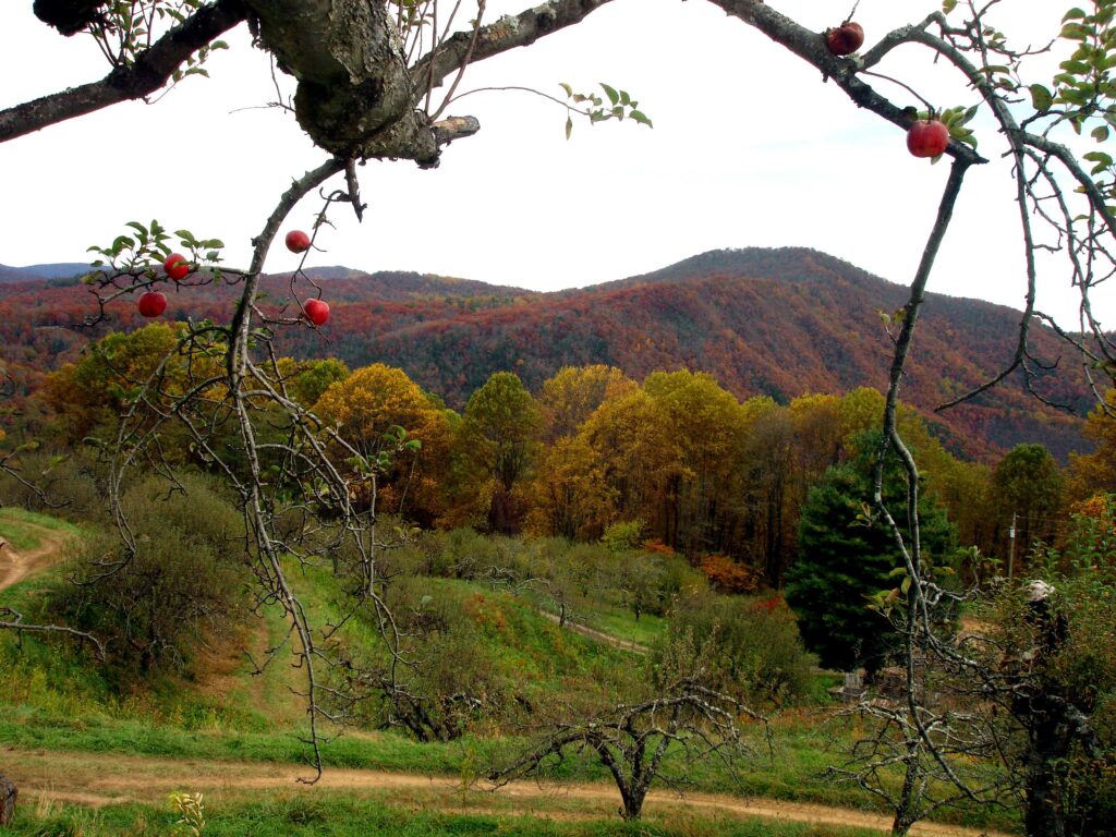
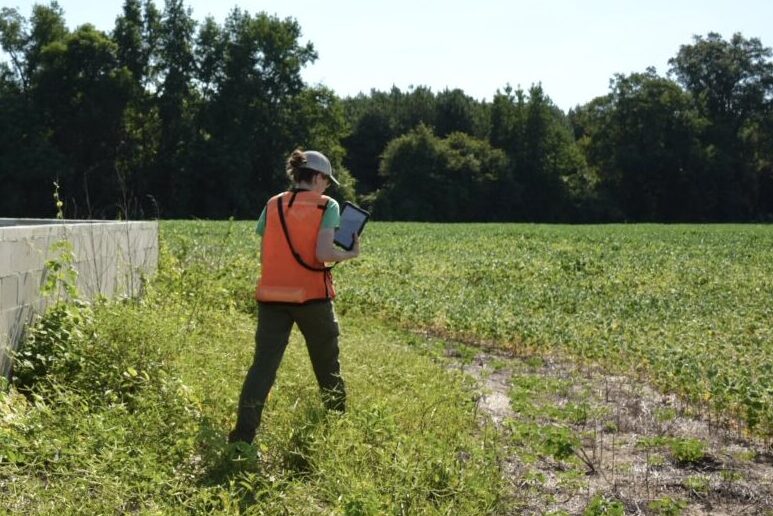
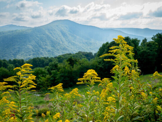
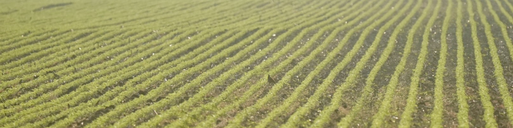
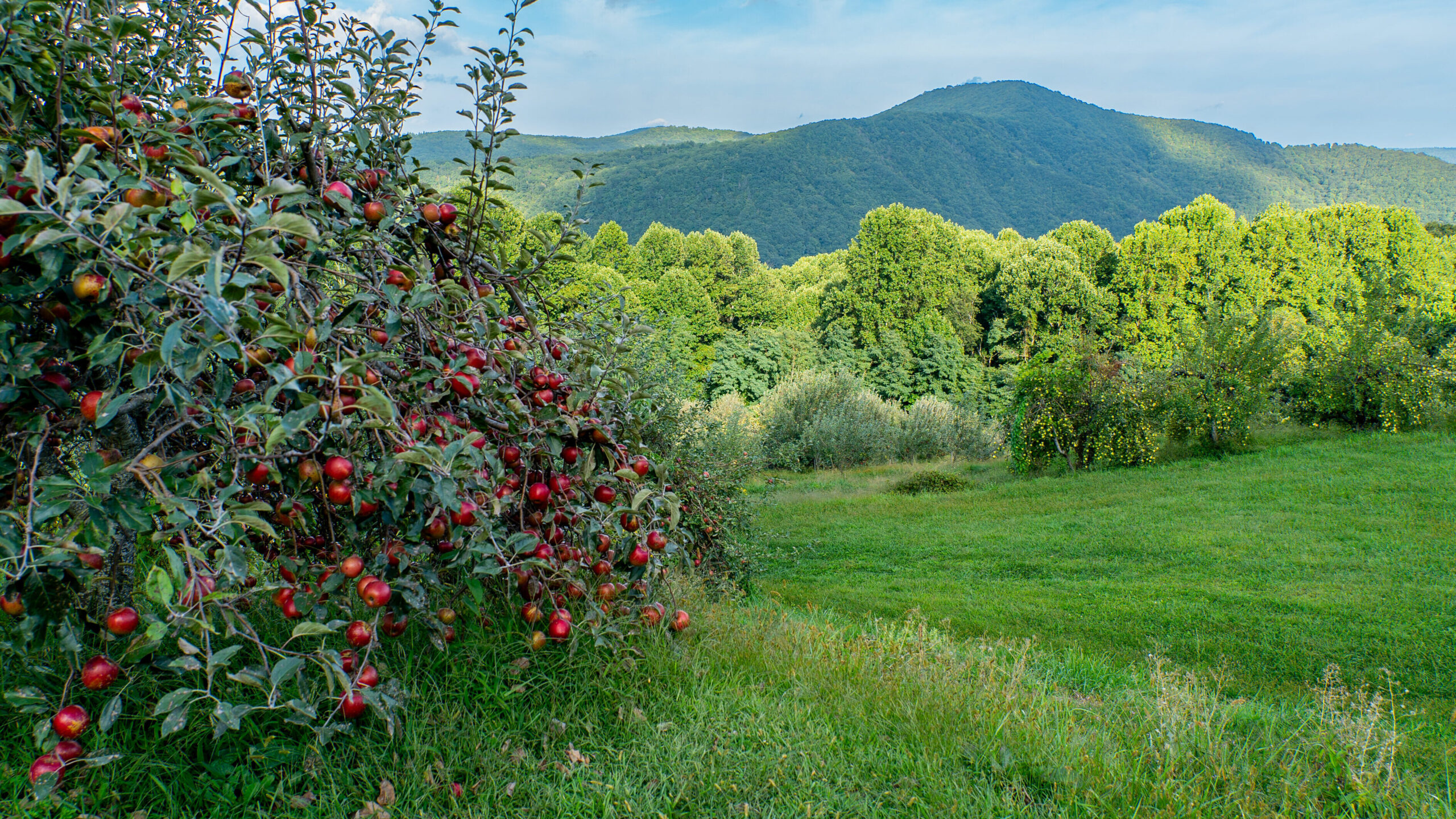
The budget includes $2 million in new recurring funds, $46.9 million in nonrecurring funds, and $200,000 to Henderson County for farmland preservation through the Agricultural Development and Farmland Preservation Trust Fund (ADFPTF), helping farmers protect working lands that sustain North Carolina’s leading industry. Conserving farmland strengthens rural economies, supports food production, and preserves the agricultural heritage that defines communities across the state.
N.C. Land and Water Fund
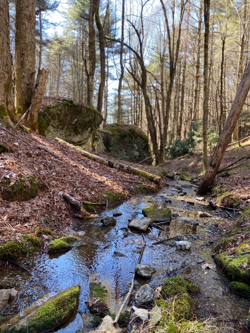
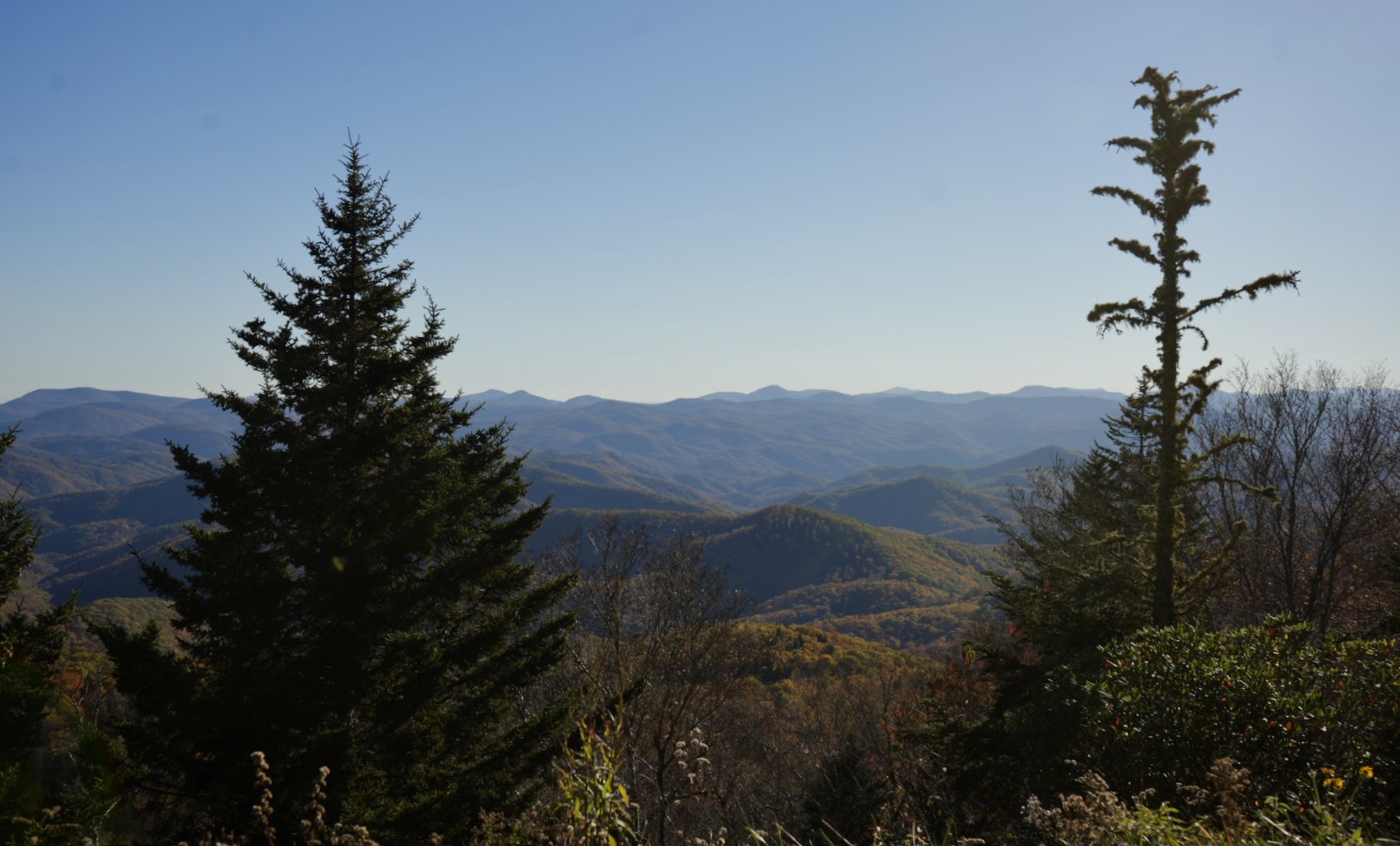
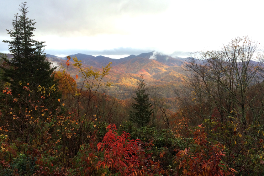
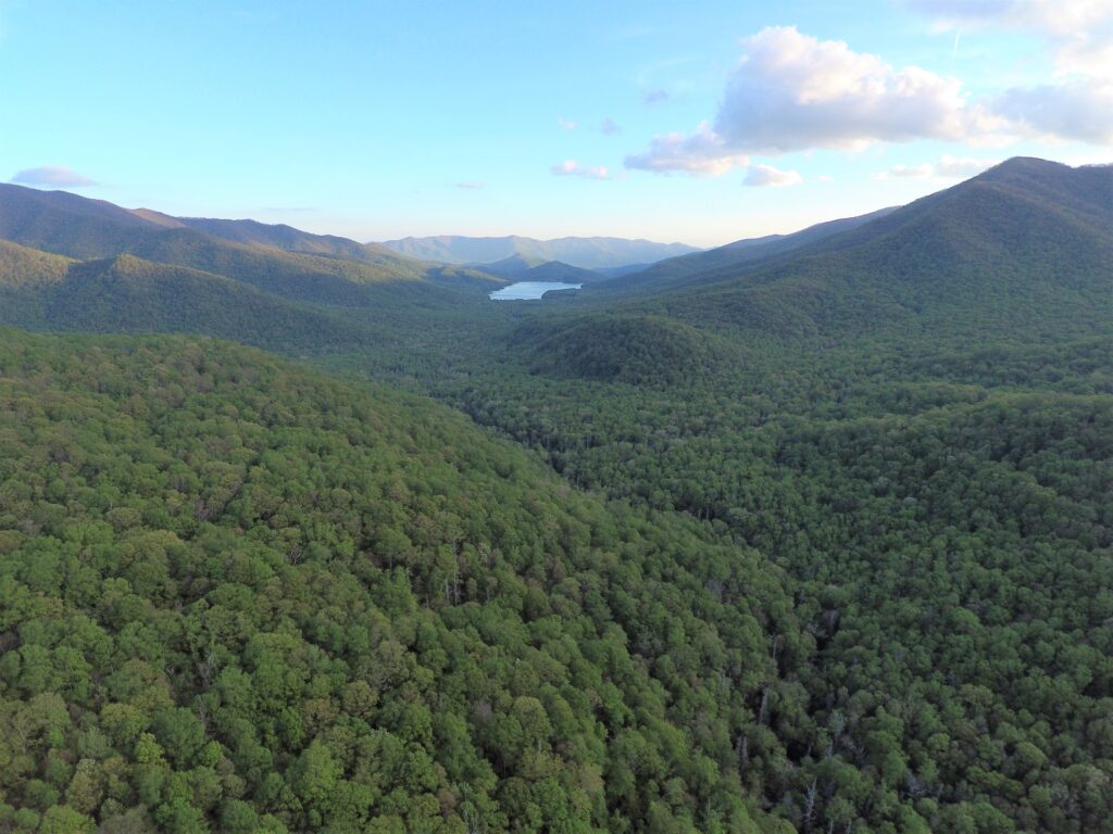
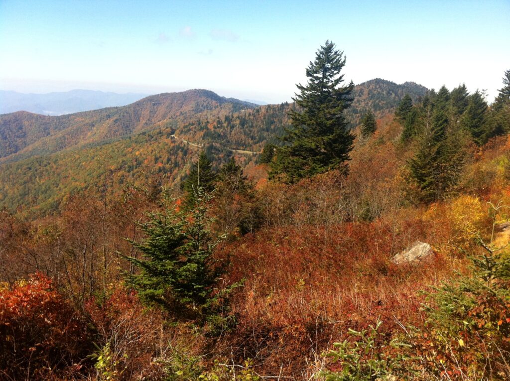
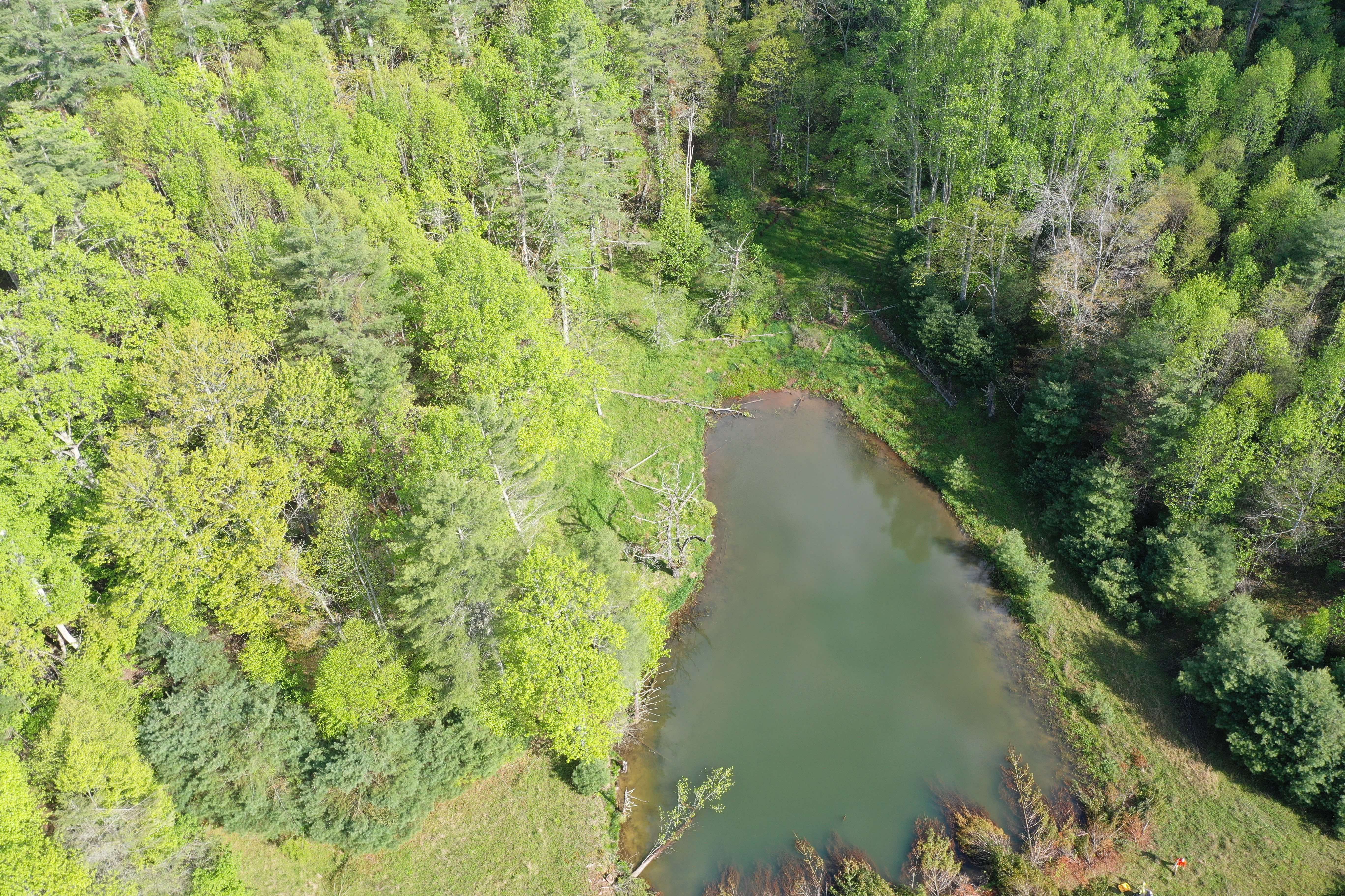
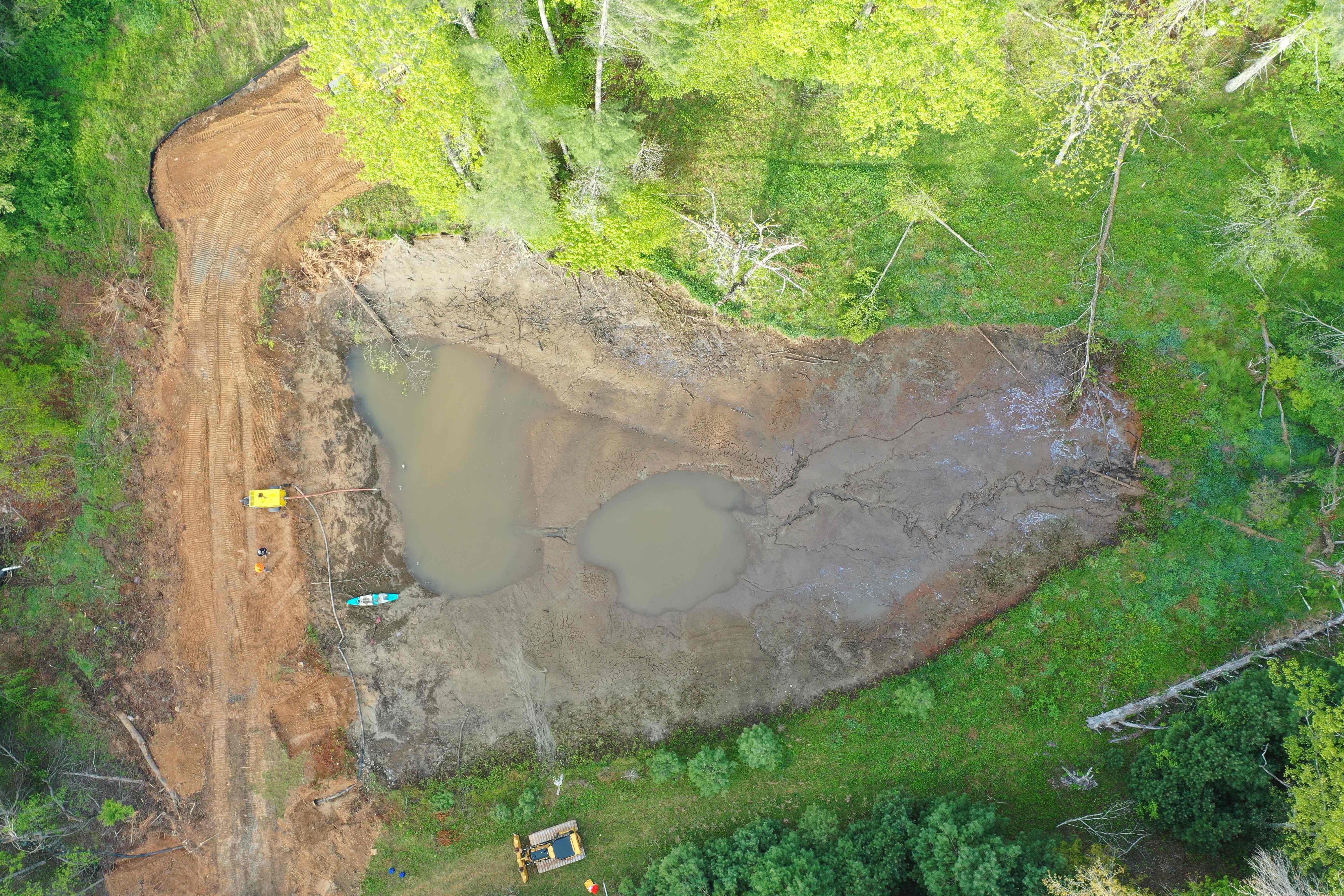
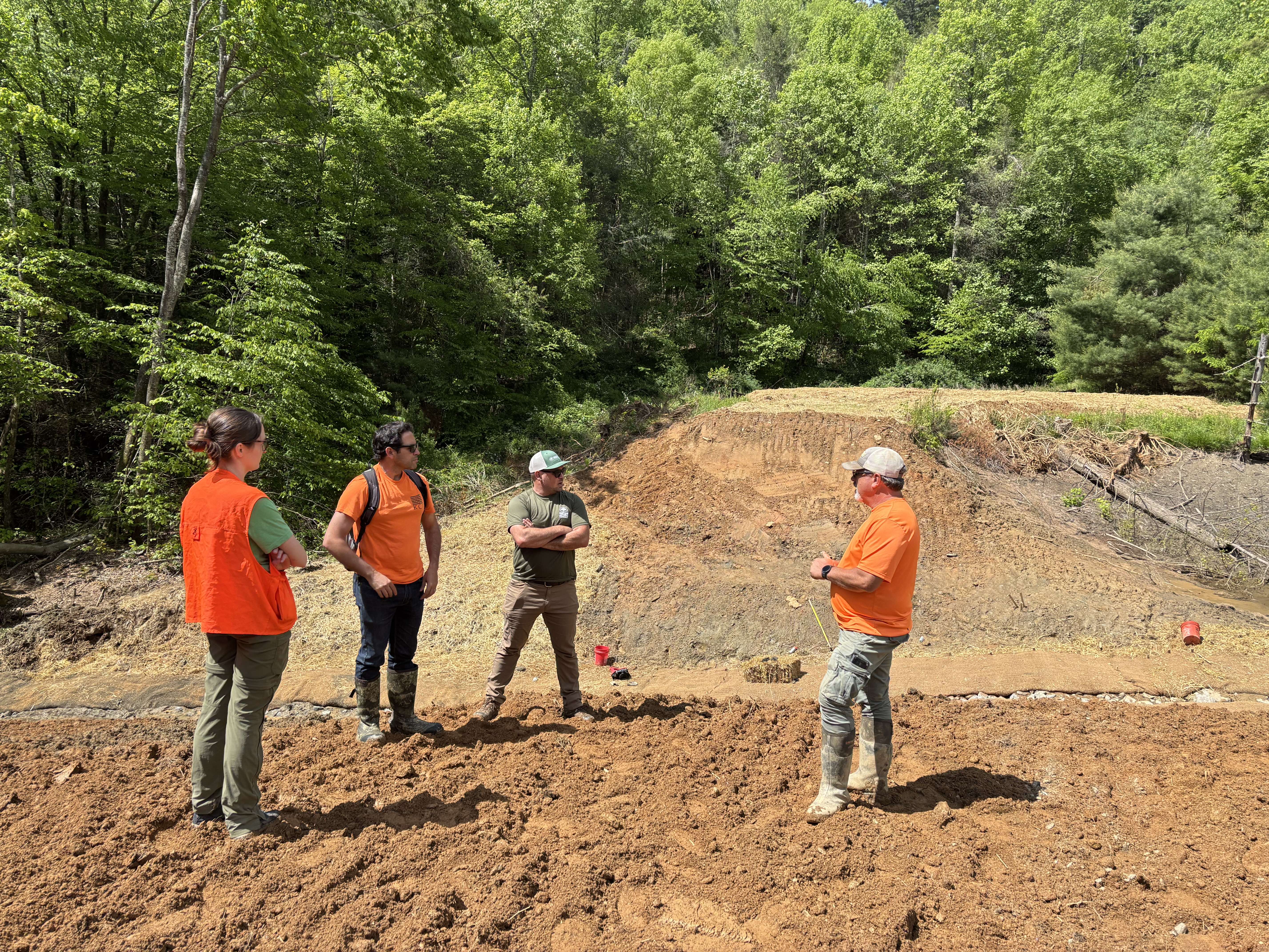
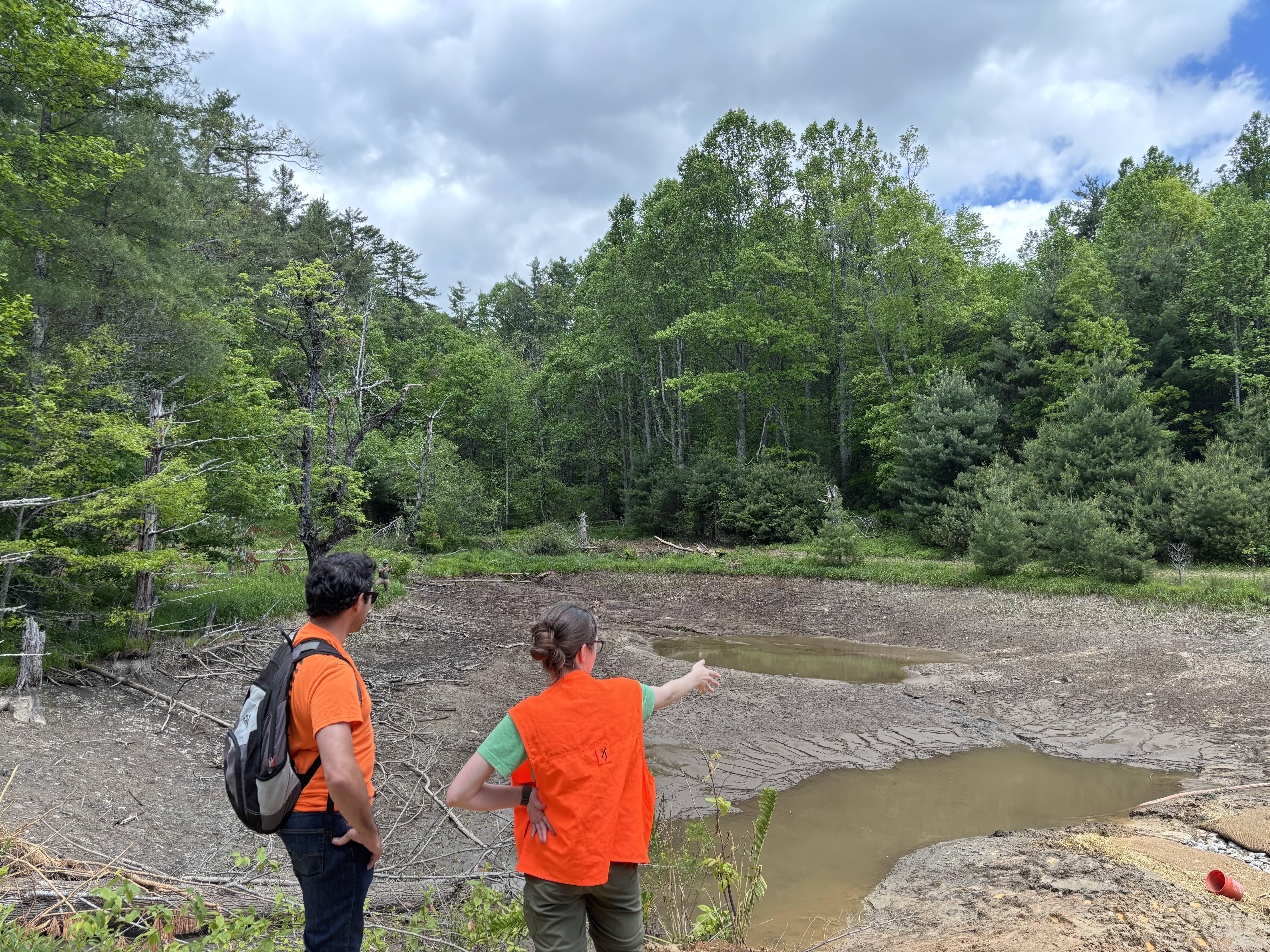
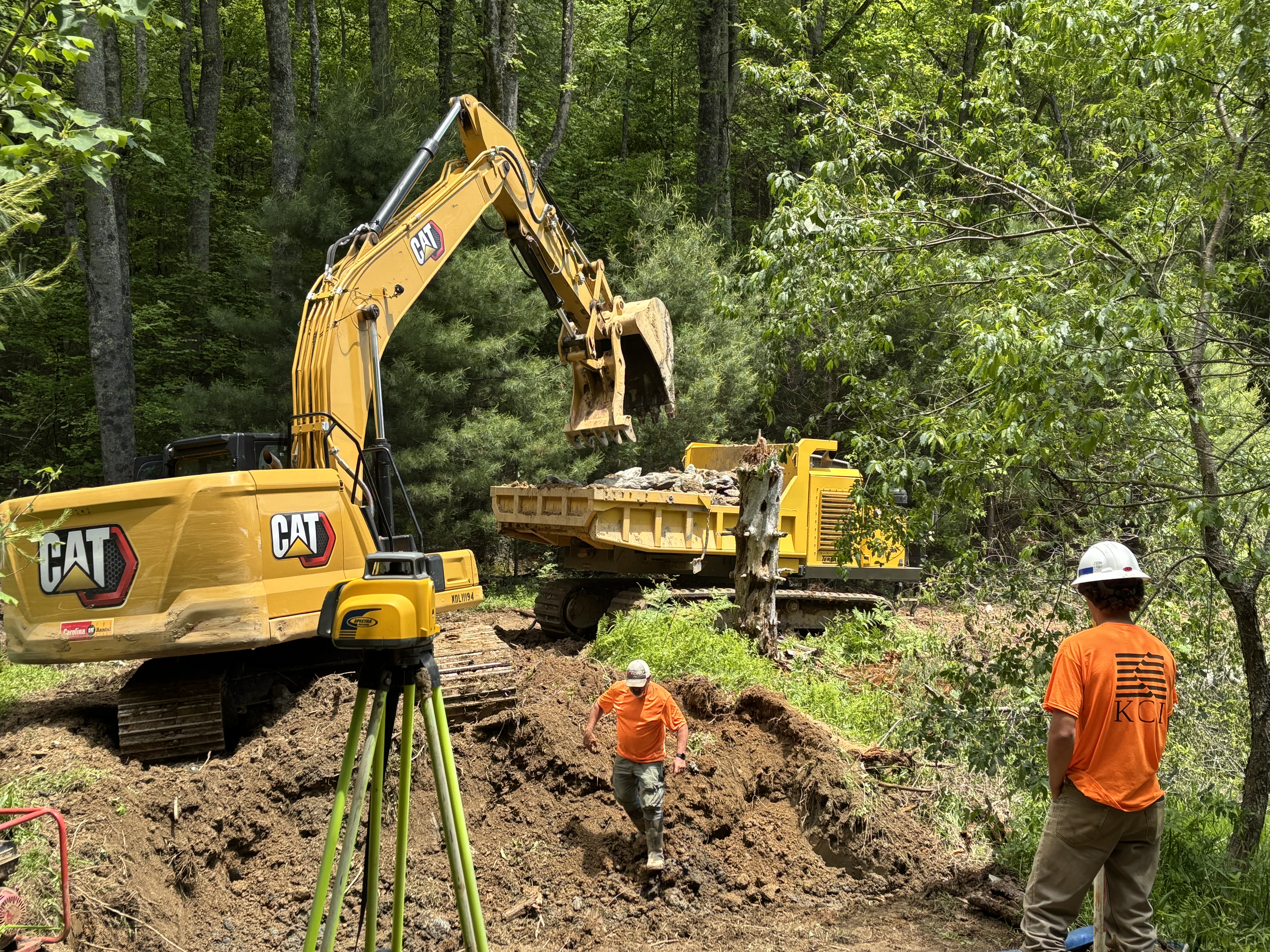
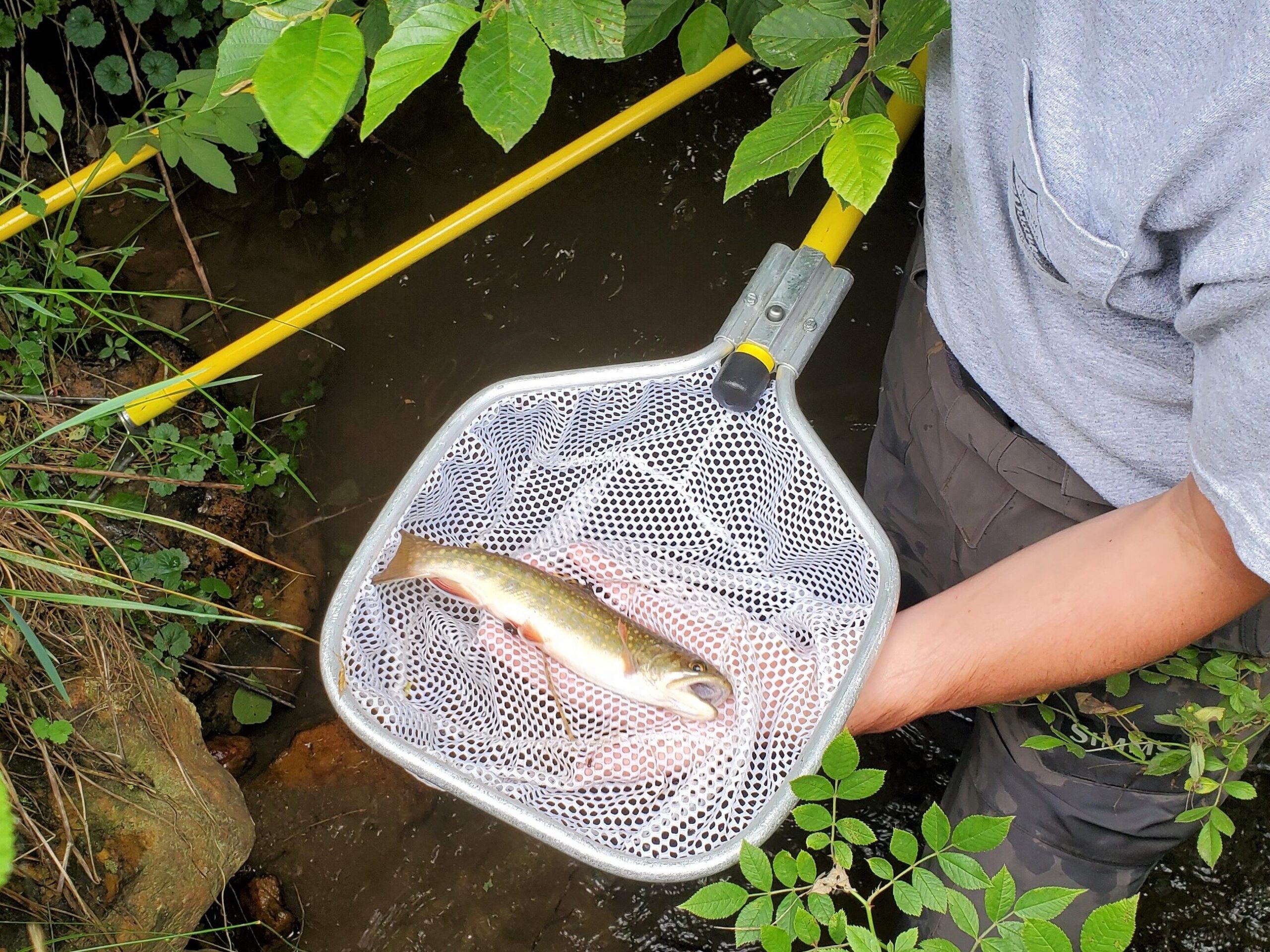
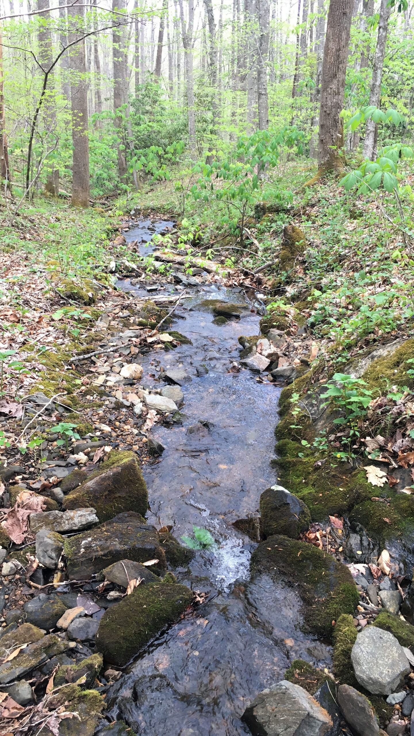
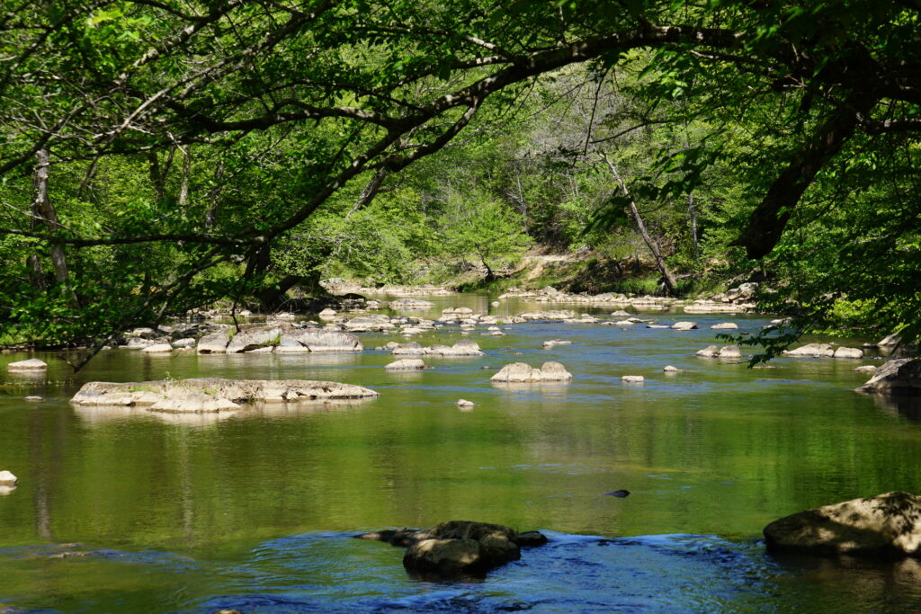
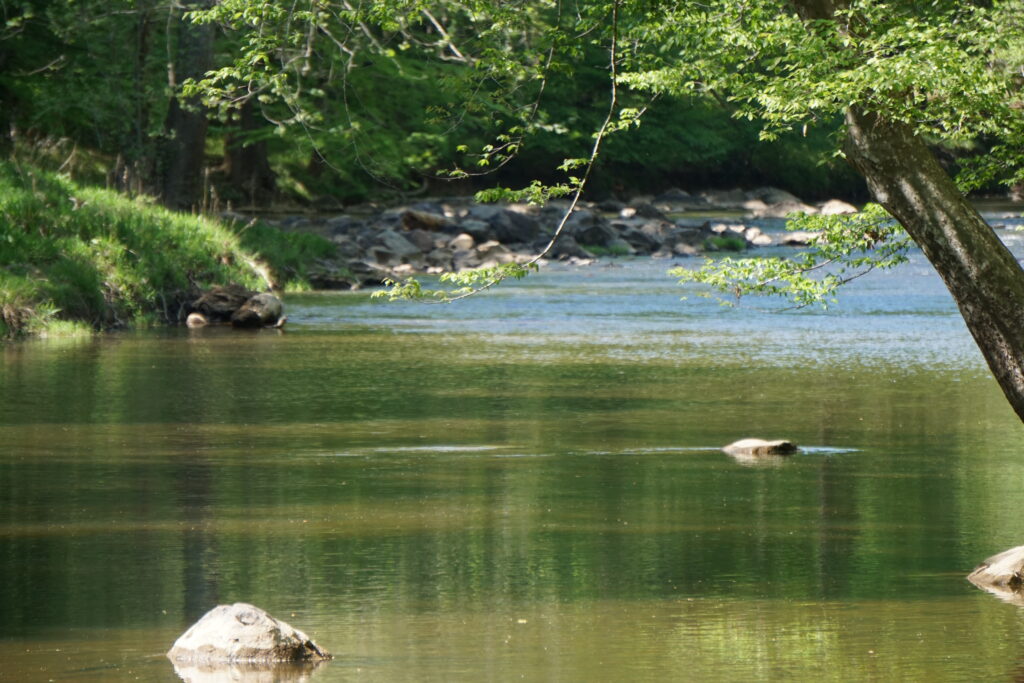
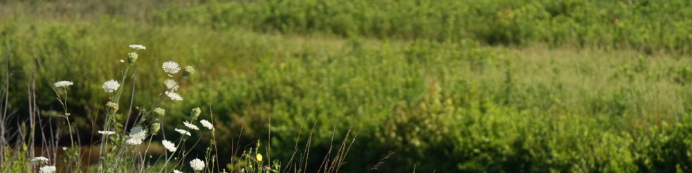
The budget kept the funds steady for the N.C. Land and Water Fund, with an allocation of $28 million, which protects drinking water sources, conserves wildlife habitat, improves water quality, and supports flood resilience while helping local communities preserve the natural resources that drive economic growth and outdoor recreation.
Parks and Recreation Trust Fund
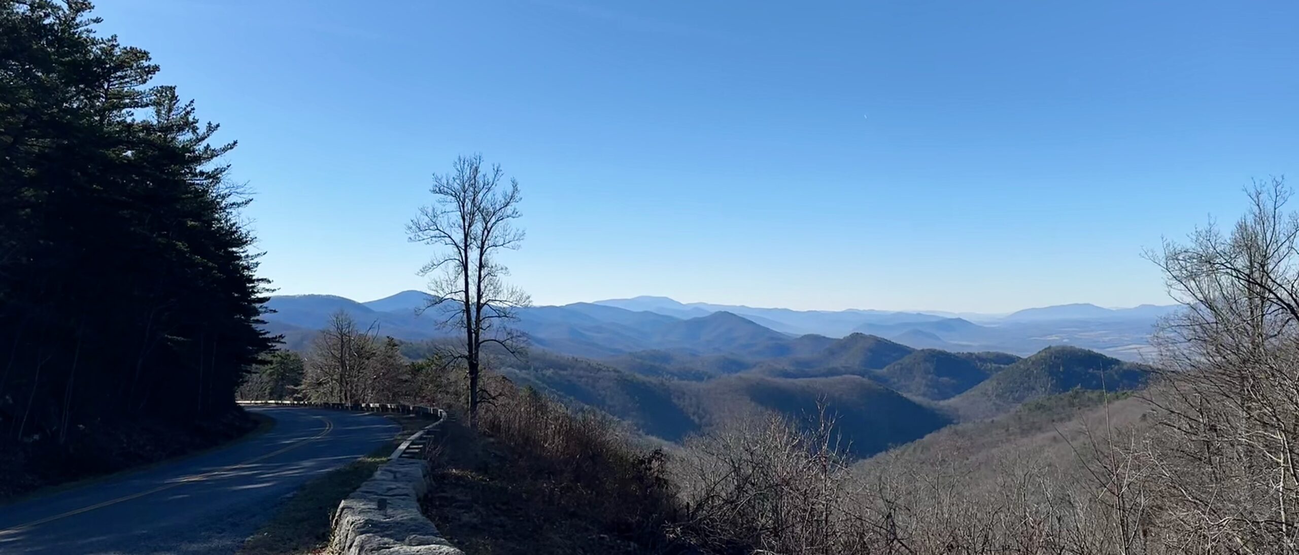
The budget provides for a slight reduction in recurring and nonrecurring funds, bringing the total allocation to the Parks and Recreation Trust Fund (PARTF) to $26 million, helping communities create and improve local parks, trails, playgrounds, and outdoor recreation facilities. These investments improve quality of life, expand public access to the outdoors, and support North Carolina’s $16.2 billion outdoor recreation economy.
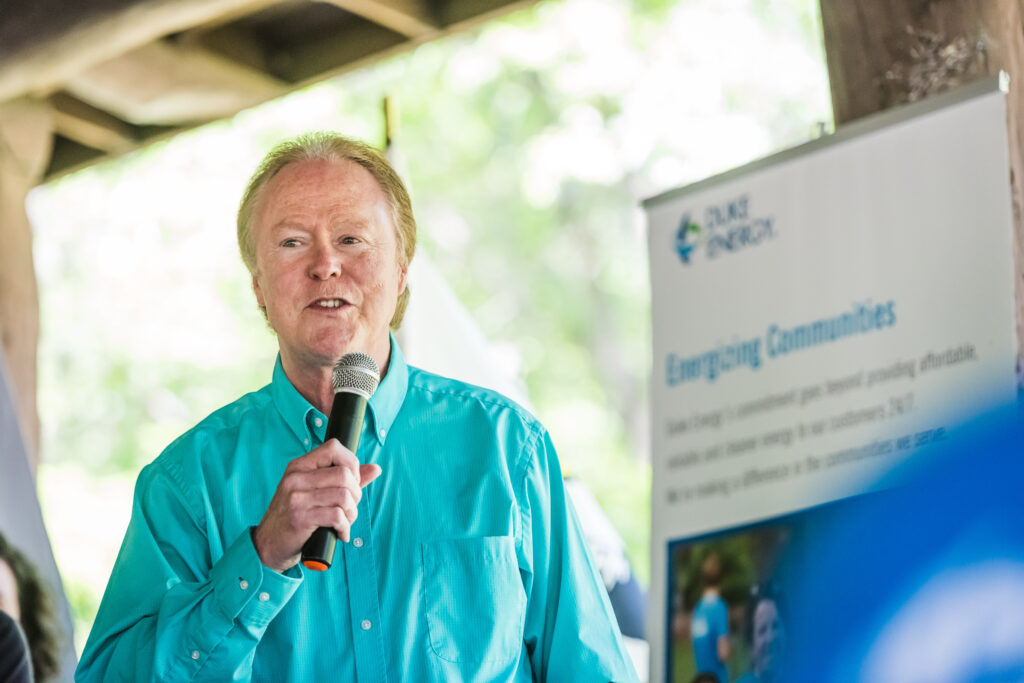
“North Carolina’s conservation trust funds represent one of the smartest investments our state can make,” said Kevin Redding, Land for Tomorrow Chair and Executive Director, Piedmont Land Conservancy. “These programs protect the places that make North Carolina special while delivering real returns for taxpayers through cleaner water, stronger farms, thriving local parks, expanded outdoor recreation, and more resilient communities. We are grateful to the General Assembly for recognizing that conservation is an investment in our state’s economy, heritage, and future.”
This year’s budget follows another significant conservation milestone: the extension of North Carolina’s Conservation Tax Credit through 2031 in the NC Farm Act (SB 401). The extension provides landowners with greater certainty as they plan for the future and preserves a proven incentive to voluntarily protect working farms, forests, and other important lands. Combined with strong funding for the state’s conservation trust funds, North Carolina continues to demonstrate that practical, bipartisan conservation policies deliver lasting benefits for communities, agriculture, and future generations.
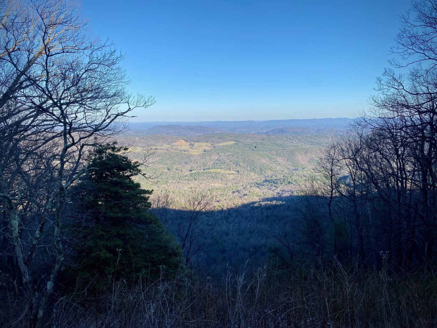
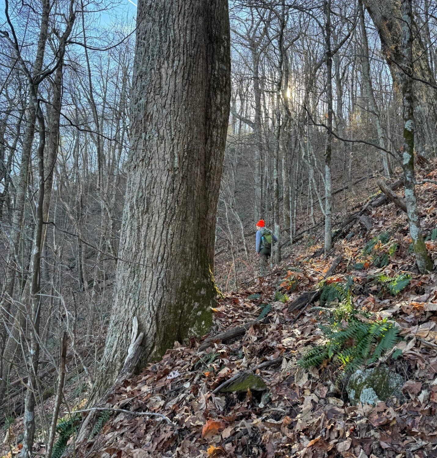
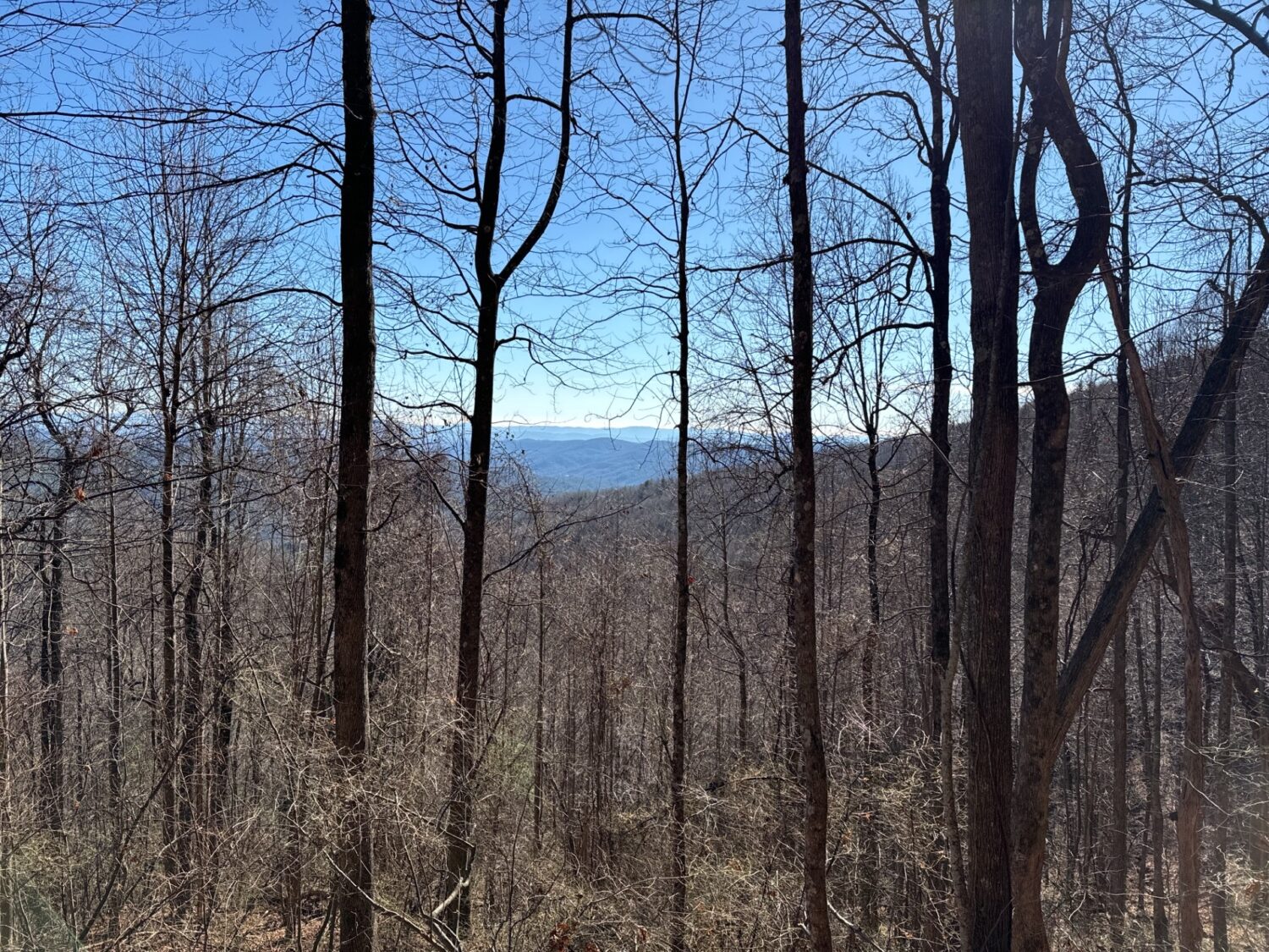
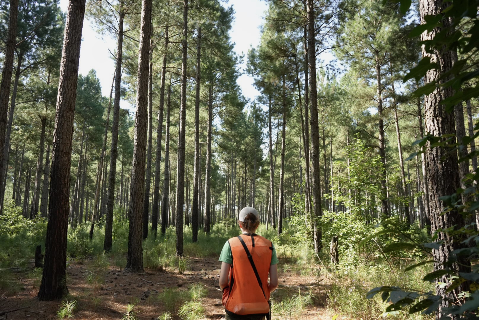
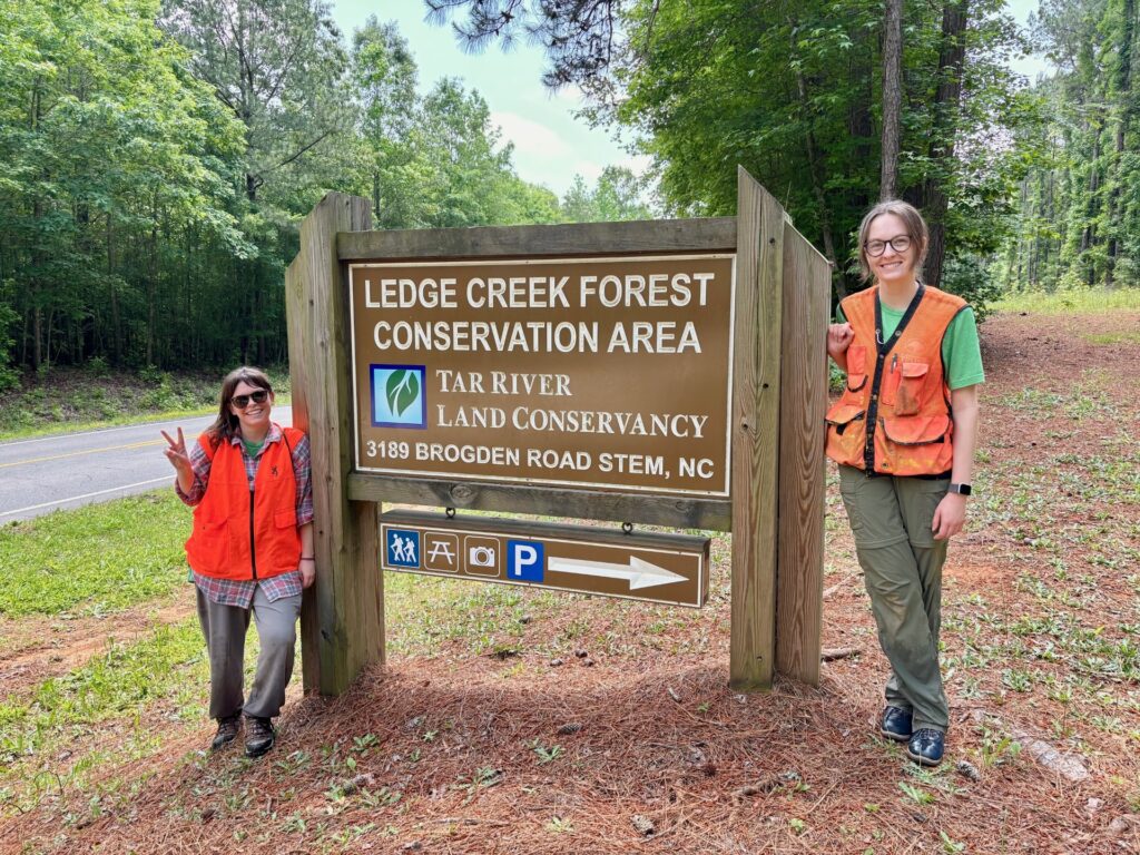
For decades, North Carolina’s conservation trust funds have helped leverage dollars to protect millions of acres of land, improve public access to recreation, conserve working farms and forests, safeguard drinking water supplies, and preserve places that define North Carolina’s history and identity.
Land for Tomorrow thanks members of the General Assembly from both parties for their continued leadership and support of these nationally recognized conservation programs. Together, these investments will help ensure North Carolina remains a great place to live, work, visit, and raise future generations.
About Land for Tomorrow
Land for Tomorrow is a statewide coalition dedicated to increasing public funding for North Carolina’s land and water conservation. The coalition is working to protect the lands and waters that support North Carolina’s economy, natural resources, and quality of life. Learn more at https://www.land4tomorrow.org.